Mill Creek Summit
- 8,802 ft
- summit
- 1
- way up
Is Mill Creek Summit open right now?
Alert in the area
The Forest Service lists an alert for Salmon-Challis National Forest.
Stoddard Bridge Construction Closure
Agency alert covering Salmon-Challis National Forest · Order 0413-07-17 · USFS · Salmon-Challis National Forest
As of · Source: USFS · Salmon-Challis National Forest. Agencies don't list every closure — check before you go.
Mill Creek Summit is a summit in the Challis-Yankee Fork Ranger District of the Salmon-Challis National Forest in central Idaho. The nearest town is Challis, about 13 miles away. Several trails start close by. NF Trail 172 is about 1.5 miles away, Pack Creek about 2 miles, and Challis Creek Lakes under 3 miles. For an overnight base, Big Bayhorse Campground sits roughly 6 miles from the summit.
Conditions and forecast
Daily highs and lows, wind and the chance of precipitation at the summit and route start for the next 7 days, from the Open-Meteo model.
- Summit elevation
- 8,802 ft
Elevation from USGS 3D Elevation Program terrain data (about 10 m resolution).
Map © Mapbox © OpenStreetMap contributors Questions about Mill Creek Summit
How tall is Mill Creek Summit?
8,802 ft (2,683 m).
How many routes go to the summit of Mill Creek Summit?
One: CUSTER TRAIL, RD #013, #070 -W.
- White Goat Mountain9,424 ft · Idaho2 routes18 mi away
- Sleeping Deer Mountain9,883 ft · Idaho1 route23 mi away
- Lookout Mountain9,956 ft · Idaho1 route23 mi away
- Duck Creek Point9,134 ft · Idaho1 route30 mi away
- Greyhound Mountain8,992 ft · Idaho1 route32 mi away
- Ruffneck Peak9,418 ft · Idaho1 route33 mi away
- Nf Trail 172Hiking1.5 mi
- PACK CREEKHiking2.1 mi
- CHALLIS CREEK LAKESHiking2.7 mi
- CHALLIS CREEKHiking3.1 mi
- Yankee ForkCanoeing6 mi
- Big Bayhorse CampgroundCamping6.1 mi
- Pia Soko NaokwaideCanoeing9 mi
- Custer #1 CampgroundCamping10 mi
Source: Roamze catalog (indexable pages within 10 miles, PostGIS distance)
 Watson PeakSummit · ~44 min drivePhoto: Fredlyfish4, CC BY-SA 3.0 (via Wikimedia Commons)
 Lee PeakSummit · ~45 min drivePhoto: Leaflet, CC BY-SA 4.0 (via Wikimedia Commons)
 Sheep MountainSummit · ~49 min drivePhoto: Fredlyfish4, CC BY-SA 4.0 (via Wikimedia Commons)
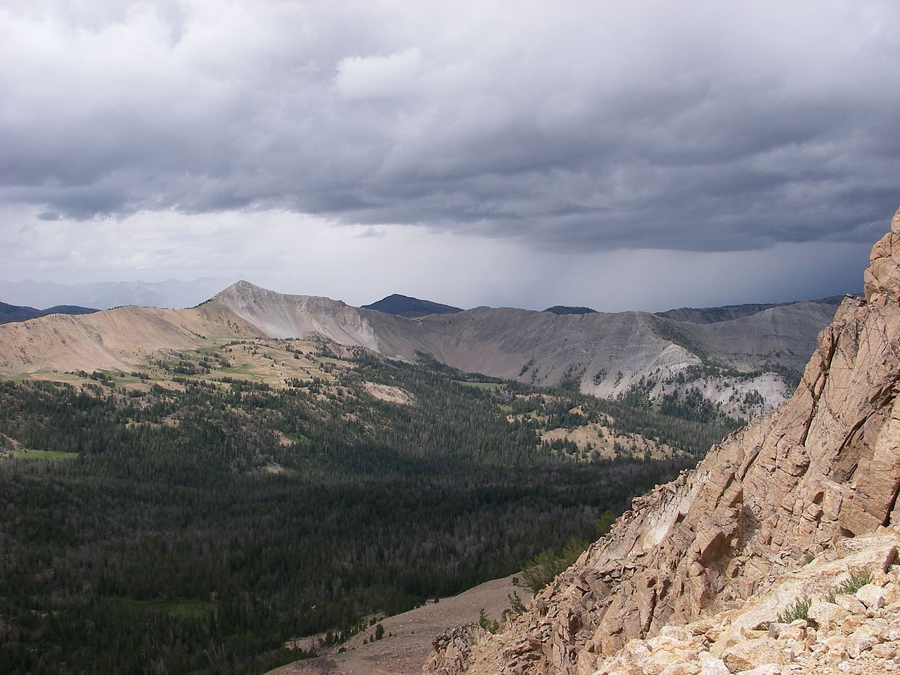 Blackmon PeakSummit · ~51 min drivePhoto: Leaflet, CC BY-SA 4.0 (via Wikimedia Commons)
 McGowan PeakSummit · ~59 min drivePhoto: Fredlyfish4, CC BY-SA 4.0 (via Wikimedia Commons)
 Alpine PeakSummit · ~59 min drivePhoto: Fredlyfish4, CC BY-SA 3.0 (via Wikimedia Commons)
 Mount ReganSummit · ~1h 1m drivePhoto: Fredlyfish4, CC BY-SA 4.0 (via Wikimedia Commons)
 Baron PeakSummit · ~1h 3m drivePhoto: Fredlyfish4, CC BY-SA 3.0 (via Wikimedia Commons)
 Decker PeakSummit · ~1h 5m drivePhoto: Fredlyfish4, CC BY-SA 4.0 (via Wikimedia Commons)
 Glassford PeakSummit · ~1h 6m drivePhoto: Frank Kovalchek from Anchorage, Alaska, USA, CC BY 2.0 (via Wikimedia Commons)
