Sheep Mountain
 Photo: Fredlyfish4, CC BY-SA 4.0 (via Wikimedia Commons)
- 10,913 ft
- summit
- Forest Service
- managed by
Is Sheep Mountain open right now?
Alert in the area
The Forest Service lists an alert for Salmon-Challis National Forest.
Stoddard Bridge Construction Closure
Agency alert covering Salmon-Challis National Forest · Order 0413-07-17 · USFS · Salmon-Challis National Forest
As of · Source: USFS · Salmon-Challis National Forest. Agencies don't list every closure — check before you go.
Sheep Mountain is a summit of about 10,913 feet in Custer County, Idaho, inside the Jim McClure-Jerry Peak Wilderness. The peak lies within the Challis-Yankee Fork Ranger District of the Salmon-Challis National Forest, which the Forest Service manages. The nearest town is Clayton, about 13.5 miles away. Several hikes start close by, including McDonald Taylor about 2.6 miles away and Sheep Creek-Pine Creek at about 3 miles. Herd Lake Campground, roughly 9 miles off, offers a place to stay.
Conditions and forecast
Daily highs and lows, wind and the chance of precipitation at the summit for the next 7 days, from the Open-Meteo model.
- Summit elevation
- 10,913 ft
- Land manager
- Forest Service
Elevation from USGS 3D Elevation Program terrain data (about 10 m resolution).
We don't know of a mapped trail or route to the summit of Sheep Mountain. Plan the approach with local maps, a guidebook or a local guide, and check conditions before you go.
Questions about Sheep Mountain
How tall is Sheep Mountain?
10,913 ft (3,326 m).
Is there a trail to the top of Sheep Mountain?
We don't know of a mapped trail or route to the summit. Plan the approach with local maps, a guidebook or a local guide.
- Mcdonald TaylorHiking2.6 mi
- Sheep Creek-Pine CreekHiking3 mi
- Taylor CreekHiking3 mi
- East Pass CreekHiking3.4 mi
- Upper Pine CreekHiking3.4 mi
- Herd CreekCanoeing5.8 mi
- East Fork Salmon RiverCanoeing8.1 mi
- Herd Lake CampgroundCamping9.1 mi
Source: Roamze catalog (indexable pages within 10 miles, PostGIS distance)
 Glassford PeakSummit · ~21 min drivePhoto: Frank Kovalchek from Anchorage, Alaska, USA, CC BY 2.0 (via Wikimedia Commons)
 Kent PeakSummit · ~21 min drivePhoto: Fredlyfish4, CC BY-SA 3.0 (via Wikimedia Commons)
 Lee PeakSummit · ~23 min drivePhoto: Leaflet, CC BY-SA 4.0 (via Wikimedia Commons)
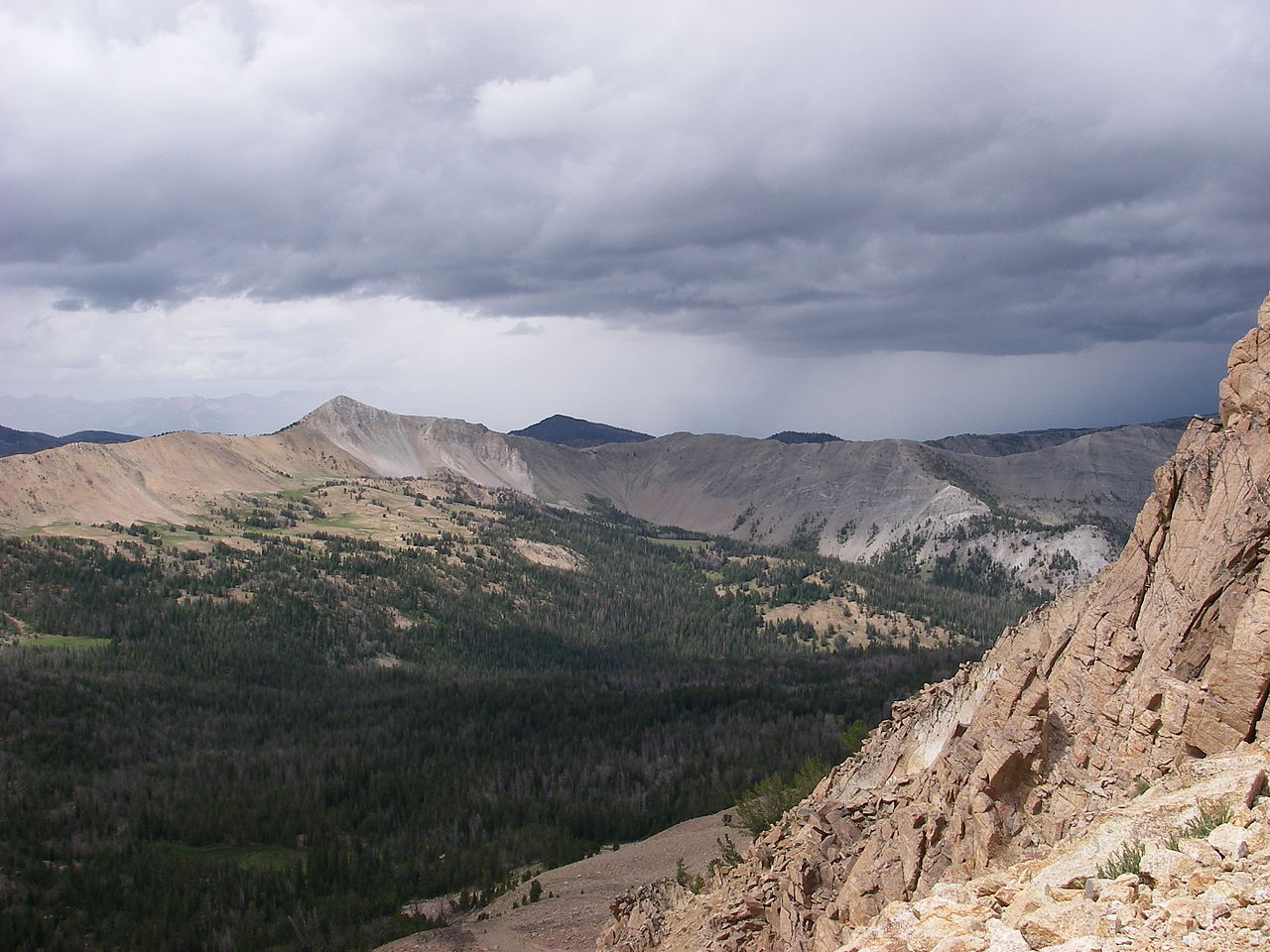 Blackmon PeakSummit · ~25 min drivePhoto: Leaflet, CC BY-SA 4.0 (via Wikimedia Commons)
 Watson PeakSummit · ~29 min drivePhoto: Fredlyfish4, CC BY-SA 3.0 (via Wikimedia Commons)
 Silver PeakSummit · ~30 min drivePhoto: Frank Kovalchek, CC BY 3.0 (via Wikimedia Commons)
 Easley PeakSummit · ~32 min drivePhoto: Stephen Hanafin, CC BY-SA 2.0 (via Wikimedia Commons)
 Hyndman PeakSummit · ~42 min drivePhoto: Fredlyfish4, CC BY-SA 3.0 (via Wikimedia Commons)
 Old Hyndman PeakSummit · ~44 min drivePhoto: Fredlyfish4, CC BY-SA 3.0 (via Wikimedia Commons)
 McDonald PeakSummit · ~49 min drivePhoto: Fredlyfish4, CC BY-SA 3.0 (via Wikimedia Commons)

