Stormy Pk.-Virginia
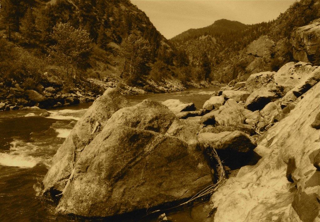 Photo: roy.luck, CC BY 2.0 (via Flickr)
- 21.9 mi
- round trip
- 4,756 ft
- climb
- 8,364 ft
- high point
- Out and back
- route
Is Stormy Pk.-Virginia open right now?
Alert in the area
The Forest Service lists an alert for Salmon-Challis National Forest.
Stoddard Bridge Construction Closure
Agency alert covering Salmon-Challis National Forest · Order 0413-07-17 · USFS · Salmon-Challis National Forest
As of · Source: USFS · Salmon-Challis National Forest. Agencies don't list every closure — check before you go.
Stormy Peak in Idaho is a hard hike in the North Fork Ranger District of the Salmon-Challis National Forest, managed by the Forest Service. The route is an out-and-back of about 22 miles, with a one-way climb of roughly 4,750 feet from a low point of about 3,350 feet to a high of about 8,360 feet. The trail is natural-surfaced and allows both horses and bikes, so it works for riders and pack animals as well as hikers. That makes it a practical choice for a longer trip with gear. The Sheepeater hike starts about half a mile away, and Boulder Basin is about 1.4 miles off. Spring Creek Campground, about 3 miles away, is the closest place to camp. Virginia Gulch lies about 3.3 miles from the peak.
Keep exploring — more trails worth the drive
 Photo: roy.luck, CC BY 2.0 (via Flickr)
Boulder Basin
~2 min drive
18.65-mile out-and-back trail in Idaho with 4,938 ft elevation gain.
HIKE
Garden Creek - Horse Heaven Trail
~10 min drive
28.32-mile out-and-back trail in Idaho with 8,342 ft elevation gain/loss.
HIKE
Owl Creek
~14 min drive
Owl Creek is a 4.90-mile out-and-back trail in Idaho with 709 feet of elevation gain.
HIKE
Head of West Fork
~18 min drive
1.36-mile out-and-back trail in Montana with 204 ft of elevation gain.
HIKE
Sheepeater
Next door
10.45-mile out-and-back trail in Idaho with 4,322 ft gain.
HIKE
Elkhorn
~18 min drive
5.82-mile out-and-back trail in Idaho with 637 ft gain and 2,899 ft loss.
HIKE
Rancherio
~15 min drive
4.36-mile out-and-back trail in Idaho with 237 ft elevation gain.
HIKE
SHEEP CREEK
~19 min drive
1.26-mile out-and-back trail in Montana with 934 ft elevation gain
HIKE
Virginia Gulch
~6 min drive
8.70-mile out-and-back trail in Idaho with 3,296 ft elevation gain.
HIKE
Fritzer Gulch
~19 min drive
8.13-mile out-and-back trail in Idaho with 3,552 ft elevation gain.
Route details
- Distance
- 21.9 mi round trip
- Climbing
- About 4,756 ft
- Summit
- 8,366 ft
- Difficulty
- Hard
Season
Season: Year-round.
Other routes up Point of Rock
Questions about this route
How long is the Stormy Pk.-Virginia on Point of Rock?
About 21.9 mi round trip.
How much elevation gain is on the Stormy Pk.-Virginia?
About 4,756 ft of climbing round trip.
How hard is the Stormy Pk.-Virginia?
It is rated hard.
When is the best time for the Stormy Pk.-Virginia?
Year-round.
How many routes go up Point of Rock?
2: Point of Rocks and Stormy Pk.-Virginia.
Conditions and forecast on Point of Rock
Daily highs and lows, wind and the chance of precipitation at the summit and route start for the next 7 days, from the Open-Meteo model.
