Head of West Fork
- 1.4 mi
- round trip
- 204 ft
- climb
- 5,948 ft
- high point
- Out and back
- route
- May–Sep
- best months
Is Head of West Fork open right now?
Alert in the area
The Forest Service lists 4 alerts for Bitterroot National Forest.
Pile burning on West Fork Ranger and Darby-Sula Districts Nov. 3
Agency alert covering Bitterroot National Forest · USFS · Bitterroot National Forest
Pile burning on West Fork Ranger District end of October
Agency alert covering West Fork Ranger District · USFS · West Fork Ranger District
Pile burning on West Fork Ranger District Oct. 26
Agency alert covering West Fork Ranger District · USFS · West Fork Ranger District
Two Prescribed Burns Planned for the week of Oct. 5 - Piquett Creek & Cameron Gap
Agency alert covering Bitterroot National Forest · USFS · Bitterroot National Forest
As of · Source: USFS · Bitterroot National Forest. Agencies don't list every closure — check before you go.
Head of West Fork is an easy, accessible hike of about 1.4 miles in the West Fork Ranger District of Montana's Bitterroot National Forest, managed by the Forest Service. The trail is natural-surfaced and out-and-back, with a low point of about 5,712 feet and a high of about 5,948 feet, so the climb is gentle and the return is the same route. Summer is the most comfortable time to go. Typical averages from a nearby weather station run to highs around 83°F in July and August, and the station sits well below the trail, so temperatures on the route run cooler. Sheep Creek is about 0.7 miles away, and Salt Creek is about 3 miles off. Across the Idaho line, Dawa Agai Naokwaide is about 3.5 miles away. For paddling, the West Fork Bitterroot River is about 4.7 miles away.
Best time to go · May–Sep
Best time to visit Head of West Fork
Best months: May–September. Best months have typical highs of 55–85 °F, lows of 30 °F or warmer (32 °F where the station doesn't record snow), at most one snowy day and no more than 12 wet days.
Jan
29° / 11°
Feb
36° / 13°
Mar
47° / 21°
Apr
56° / 29°
May
65° / 36°
Jun
72° / 42°
Jul
83° / 46°
Aug
83° / 44°
Sep
73° / 38°
Oct
58° / 30°
Nov
40° / 20°
Dec
30° / 11°
Typical high / low (°F) and days with rain or snow, 1991–2020. Measured at Gibbonsville #2, ID, 19.4 mi away at 4,480 ft. The station sits about 1,500 ft lower than this place, so expect it a little cooler here. This station doesn't record snowfall. Source: NOAA NCEI U.S. Climate Normals 1991–2020.
Keep exploring — more trails worth the drive
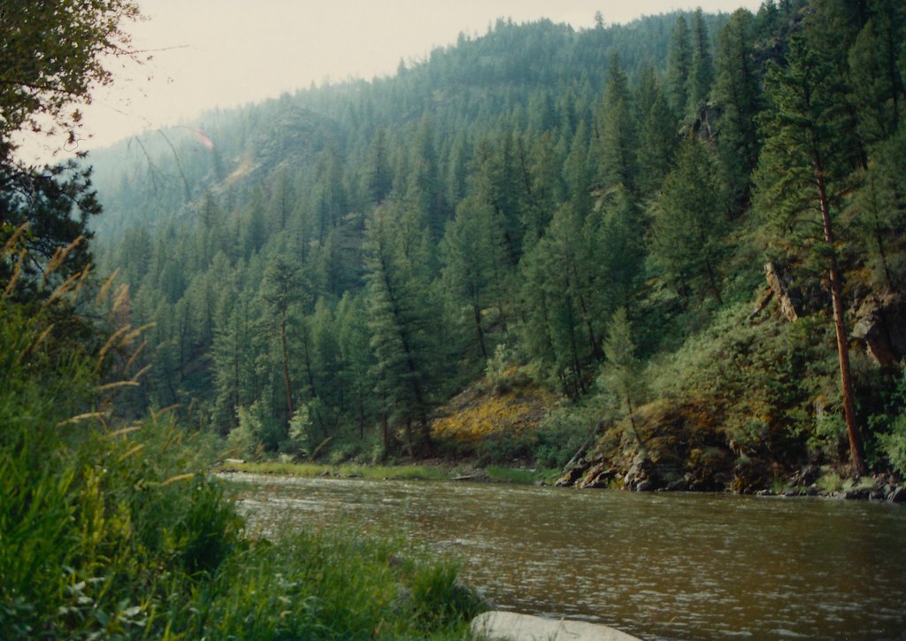 Photo: roy.luck, CC BY 2.0 (via Flickr)
Boulder Basin
~17 min drive
18.65-mile out-and-back trail in Idaho with 4,938 ft elevation gain.
HIKE
SHEEP CREEK
~1 min drive
1.26-mile out-and-back trail in Montana with 934 ft elevation gain
HIKE
SALT CREEK
~5 min drive
1.9-mile out-and-back trail in Montana with 1,219 ft elevation gain and loss.
HIKE
HORSE CREEK
~18 min drive
28.82-mile out-and-back trail in Idaho with 4,651 ft elevation gain
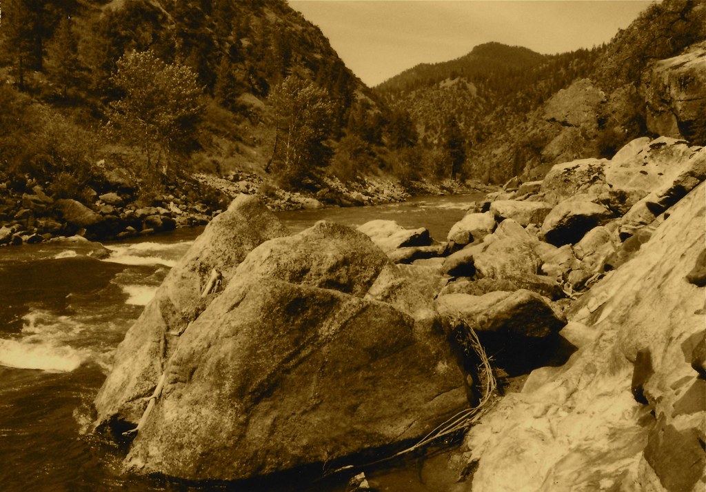 Photo: roy.luck, CC BY 2.0 (via Flickr)
Stormy Pk.-Virginia
~18 min drive
21.92-mile out-and-back trail in Idaho with 4,756 ft elevation gain.
HIKE
Thunder Mountain
~7 min drive
6.17-mile out-and-back trail in Montana with 126 ft of elevation gain.
HIKE
SALT CREEK
~7 min drive
1.86-mile out-and-back trail in Montana with 884 ft elevation gain
HIKE
Salt Creek
~6 min drive
10.86-mile out-and-back trail in Montana with 116 ft of elevation gain.
HIKE
COAL CREEK
~15 min drive
1.94-mile out-and-back trail in Montana with 747 ft elevation gain
HIKE
Owl Creek
~8 min drive
Owl Creek is a 4.90-mile out-and-back trail in Idaho with 709 feet of elevation gain.
