Point of Rocks
- 10.9 mi
- round trip
- 147 ft
- climb
- 8,241 ft
- high point
- Out and back
- route
Is Point of Rocks open right now?
Alert in the area
The Forest Service lists an alert for Salmon-Challis National Forest.
Stoddard Bridge Construction Closure
Agency alert covering Salmon-Challis National Forest · Order 0413-07-17 · USFS · Salmon-Challis National Forest
As of · Source: USFS · Salmon-Challis National Forest. Agencies don't list every closure — check before you go.
Point of Rocks is an out-and-back hike in Idaho's Salmon-Cobalt Ranger District of the Salmon-Challis National Forest, managed by the Forest Service. The route runs about 11 miles and rises about 147 feet from a low of roughly 6,600 feet to a high of about 8,240 feet. The trail is a natural surface route that allows both horses and bikes. It stays open year-round. For a longer outing, Swampy Meadows lies about 1.7 miles away, and Brushy Gulch is about 2.7 miles off. Spring Creek Campground, about 7 miles away, and Wallace Lake Campground, about 9 miles away, are both campgrounds within easy reach.
Conditions and forecast on Point of Rock
Daily highs and lows, wind and the chance of precipitation at the summit and route start for the next 7 days, from the Open-Meteo model.
- Swampy MeadowsHiking1.7 mi
- Brushy GulchHiking2.7 mi
- Virginia GulchHiking4.4 mi
- HORNET CREEKHiking4.7 mi
- BeartrackHiking5 mi
- Gannett CreekHiking5.1 mi
- Spring Creek CampgroundCamping7 mi
- Wallace Lake CampgroundCamping8.9 mi
Source: Roamze catalog (indexable pages within 10 miles, PostGIS distance)
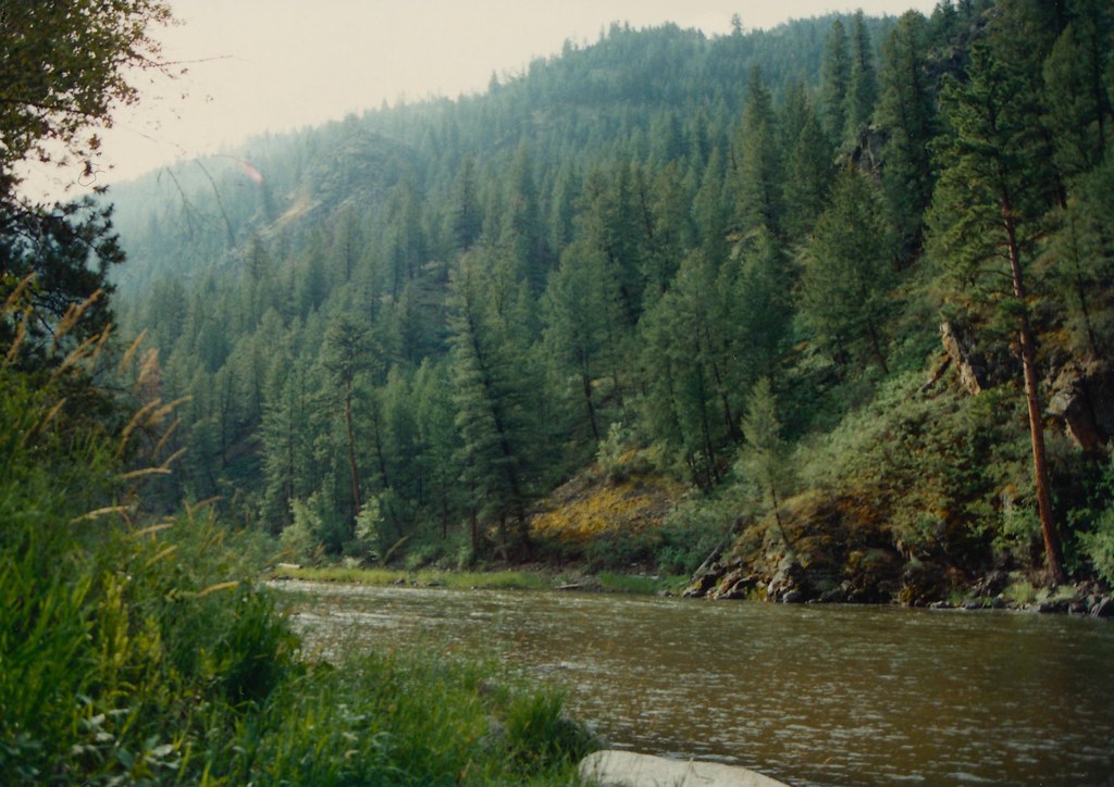 Boulder BasinHiking · ~12 min drivePhoto: roy.luck, CC BY 2.0 (via Flickr)
 Burns GulchHiking · ~18 min drivePhoto: WaterArchives.org from Sacramento, California, USA, CC BY-SA 2.0 (via Wikimedia Commons)
- Swampy MeadowsHiking · ~3 min drive
- Fritzer GulchHiking · ~18 min drive
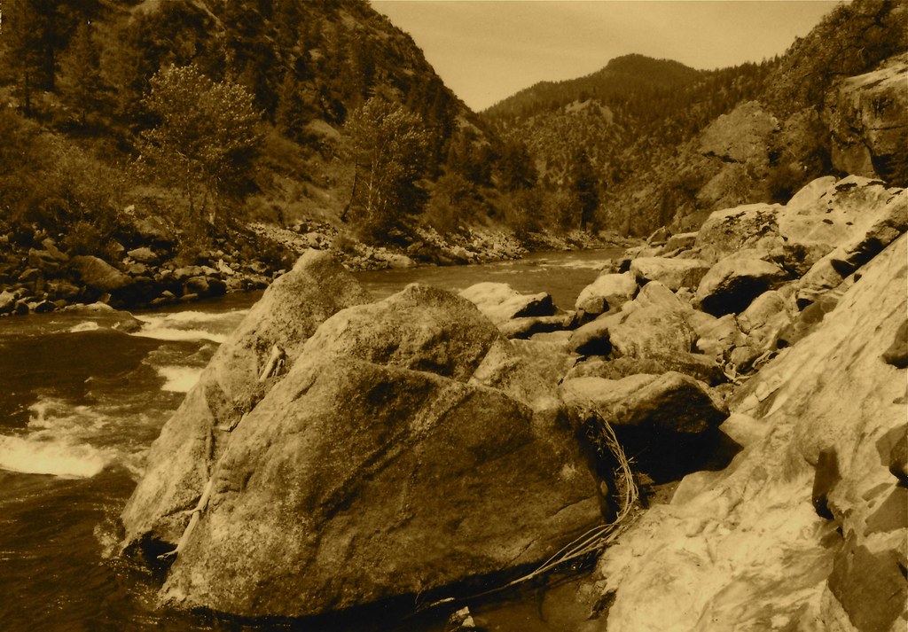 Stormy Pk.-VirginiaHiking · ~13 min drivePhoto: roy.luck, CC BY 2.0 (via Flickr)
- Lower MooseHiking · ~9 min drive
- Brushy GulchHiking · ~5 min drive
- Garden Creek - Horse Heaven TrailHiking · ~19 min drive
- WagonhammerHiking · ~19 min drivePhoto: WaterArchives.org from Sacramento, California, USA, CC BY-SA 2.0 (via Wikimedia Commons)
- Napoleon GulchHiking · ~18 min drive
Route details
- Distance
- 10.9 mi round trip
- Climbing
- About 147 ft
- Summit
- 8,366 ft
- Difficulty
- Hard
Season
Season: Year-round.
Other routes up Point of Rock
Questions about this route
How long is the Point of Rocks on Point of Rock?
About 10.9 mi round trip.
How much elevation gain is on the Point of Rocks?
About 147 ft of climbing round trip.
How hard is the Point of Rocks?
It is rated hard.
When is the best time for the Point of Rocks?
Year-round.
How many routes go up Point of Rock?
2: Point of Rocks and Stormy Pk.-Virginia.
