Virginia Gulch
- 8.7 mi
- round trip
- 3,296 ft
- climb
- 7,894 ft
- high point
- Out and back
- route
- Jun–Sep
- best months
Is Virginia Gulch open right now?
Alert in the area
The Forest Service lists an alert for Salmon-Challis National Forest.
Stoddard Bridge Construction Closure
Agency alert covering Salmon-Challis National Forest · Order 0413-07-17 · USFS · Salmon-Challis National Forest
As of · Source: USFS · Salmon-Challis National Forest. Agencies don't list every closure — check before you go.
Virginia Gulch is a hard hike in Idaho's Salmon-Challis National Forest, on the North Fork Ranger District. The trail is an out-and-back of about 8.7 miles, with a total elevation gain of 3,296 feet, taking you from a low point of about 4,573 feet to a high of about 7,894 feet. The Forest Service manages the land, and the trail is open year-round. Summer is the most comfortable time to go. Typical averages from a nearby weather station in Jackson, Montana, show July highs around 77°F with lows near 42°F, and the station sits about 1,400 feet lower than the trail's high point, so temperatures up top run cooler. The trail is natural-surface and allows both horses and bikes. Spring Creek Campground, about 4.3 miles away, is the closest place to camp. Stormy Pk.-Virginia and Sheepeater are both about 3.3 miles off, and Boulder Basin is about 3.4 miles away.
Best time to go · Jun–Sep
Best time to visit Virginia Gulch
Best months: June–September. Best months have typical highs of 55–85 °F, lows of 30 °F or warmer (32 °F where the station doesn't record snow), at most one snowy day and no more than 12 wet days.
Jan
28° / 8°
6 wet
Feb
31° / 8°
6 wet
Mar
39° / 16°
8 wet
Apr
46° / 23°
9 wet
May
57° / 31°
10 wet
Jun
66° / 37°
9 wet
Jul
77° / 42°
6 wet
Aug
76° / 39°
5 wet
Sep
66° / 32°
4 wet
Oct
51° / 25°
5 wet
Nov
36° / 14°
7 wet
Dec
27° / 7°
7 wet
Typical high / low (°F) and days with rain or snow, 1991–2020. Measured at Jackson, MT, 41.1 mi away at 6,480 ft. The station sits about 1,400 ft lower than this place, so expect it a little cooler here. This station doesn't record snowfall. Source: NOAA NCEI U.S. Climate Normals 1991–2020.
Keep exploring — more trails worth the drive
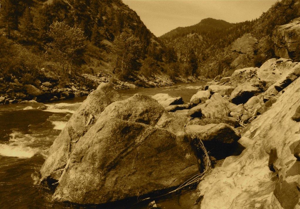 Photo: roy.luck, CC BY 2.0 (via Flickr)
Stormy Pk.-Virginia
~6 min drive
21.92-mile out-and-back trail in Idaho with 4,756 ft elevation gain.
HIKE
Swampy Meadows
~10 min drive
5.52-mile out-and-back trail in Idaho with 1,369 ft elevation loss on the return leg.
HIKE
HORNET CREEK
~16 min drive
9.56-mile out-and-back trail in Idaho with 2,305 ft elevation gain.
HIKE
Beartrack
~16 min drive
Beartrack is a 2.62-mile out-and-back trail in Idaho with 244 feet of elevation gain.
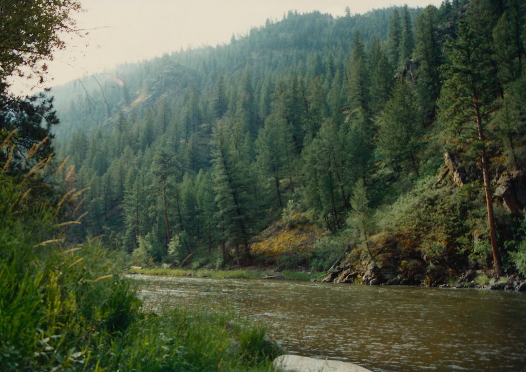 Photo: roy.luck, CC BY 2.0 (via Flickr)
Boulder Basin
~6 min drive
18.65-mile out-and-back trail in Idaho with 4,938 ft elevation gain.
HIKE
Brushy Gulch
~11 min drive
3.43-mile out-and-back trail in Idaho with 352 ft of elevation gain.
HIKE
Fritzer Gulch
~16 min drive
8.13-mile out-and-back trail in Idaho with 3,552 ft elevation gain.
HIKE
Lower Moose
~16 min drive
2.65-mile out-and-back trail in Idaho with 59 ft of elevation gain.
HIKE
Point of Rocks
~7 min drive
10.91-mile out-and-back trail at Point of Rocks in Idaho with 147 ft of elevation gain.
HIKE
Rancherio
~16 min drive
4.36-mile out-and-back trail in Idaho with 237 ft elevation gain.
Route details
- Distance
- 8.7 mi round trip
- Climbing
- About 3,296 ft
- Summit
- 8,021 ft
- Difficulty
- Hard
Season
Season: Year-round.
Questions about this route
How long is the Virginia Gulch on Stormy Peak?
About 8.7 mi round trip.
How much elevation gain is on the Virginia Gulch?
About 3,296 ft of climbing round trip.
How hard is the Virginia Gulch?
It is rated hard.
When is the best time for the Virginia Gulch?
Year-round.
Conditions and forecast on Stormy Peak
Daily highs and lows, wind and the chance of precipitation at the summit and route start for the next 7 days, from the Open-Meteo model.
