Fritzer Gulch
- 8.1 mi
- round trip
- 3,552 ft
- climb
- 7,030 ft
- high point
- Out and back
- route
Is Fritzer Gulch open right now?
Alert in the area
The Forest Service lists an alert for Salmon-Challis National Forest.
Stoddard Bridge Construction Closure
Agency alert covering Salmon-Challis National Forest · Order 0413-07-17 · USFS · Salmon-Challis National Forest
As of · Source: USFS · Salmon-Challis National Forest. Agencies don't list every closure — check before you go.
Fritzer Gulch is an expert-level out-and-back hike in Idaho's Salmon-Cobalt Ranger District of the Salmon-Challis National Forest. The trail climbs from a low point of about 4,014 feet to a high point of about 7,030 feet over roughly 8 miles, with an elevation gain of about 3,552 feet. Summer is the most comfortable time to go. Typical averages from a nearby weather station show July highs around 77°F with lows near 42°F, while winter highs stay in the upper 20s. The trail is open year-round and is accessible to horses and bikes on its natural surface. The Forest Service lists it as not an accessible trail. Several other hikes sit within a few miles, including Big Deer Creek at about 1.8 miles and Little Jureano Creek at about 3 miles. Indian Creek and Trail Creek are each about 4 miles away.
Keep exploring — more trails worth the drive
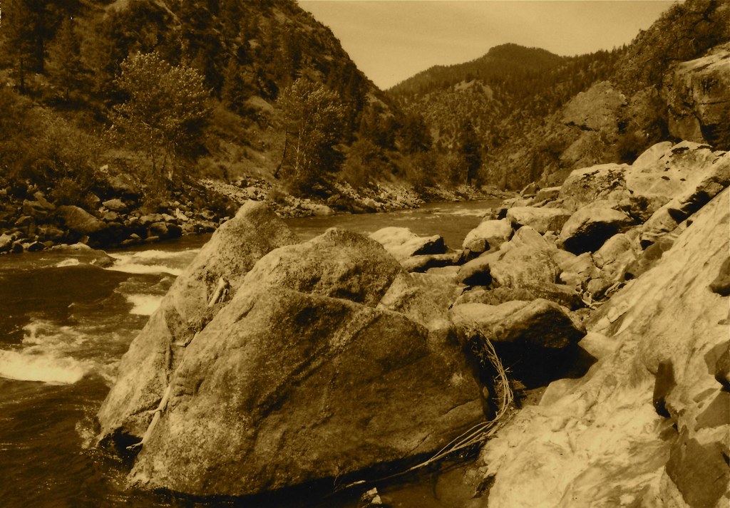 Photo: roy.luck, CC BY 2.0 (via Flickr)
Stormy Pk.-Virginia
~19 min drive
21.92-mile out-and-back trail in Idaho with 4,756 ft elevation gain.
HIKE
Lick Creek
~9 min drive
5.06-mile out-and-back trail in Idaho with 1,851 ft of elevation gain.
HIKE
Elkhorn
~14 min drive
5.82-mile out-and-back trail in Idaho with 637 ft gain and 2,899 ft loss.
HIKE
North Moccasin Spur 1
~17 min drive
2.78-mile out-and-back trail in Idaho with 222 ft of elevation gain.
 Photo: Mario Hains, CC BY-SA 3.0 (via Wikimedia Commons)
Mirror Lake
~20 min drive
7.93-mile out-and-back trail to Mirror Lake in Idaho with 1,238 ft of elevation gain.
HIKE
Rancherio
~13 min drive
4.36-mile out-and-back trail in Idaho with 237 ft elevation gain.
HIKE
Garden Creek - Horse Heaven Trail
~14 min drive
28.32-mile out-and-back trail in Idaho with 8,342 ft elevation gain/loss.
HIKE
Garden Creek - Horse Heaven Spur 1
~18 min drive
0.62-mile out-and-back trail in Idaho with 389 ft elevation gain.
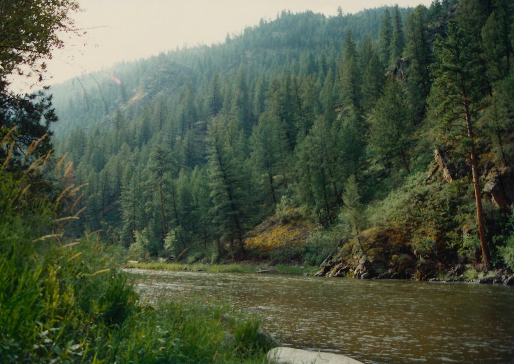 Photo: roy.luck, CC BY 2.0 (via Flickr)
Boulder Basin
~21 min drive
18.65-mile out-and-back trail in Idaho with 4,938 ft elevation gain.
HIKE
Corral Flat - Sage Brush
~14 min drive
3.62-mile out-and-back trail in Idaho with 2,004 ft elevation loss.
