Poison-Cow Creek
- 4.2 mi
- round trip
- 2,967 ft
- climb
- 7,048 ft
- high point
- Out and back
- route
- May–Sep
- best months
Is POISON-COW CREEK open right now?
Alert in the area
The Forest Service lists an alert for Salmon-Challis National Forest.
Stoddard Bridge Construction Closure
Agency alert covering Salmon-Challis National Forest · Order 0413-07-17 · USFS · Salmon-Challis National Forest
As of · Source: USFS · Salmon-Challis National Forest. Agencies don't list every closure — check before you go.
Poison-Cow Creek is a hard hike in Idaho's Salmon Field Office of the Bureau of Land Management, within the Challis-Yankee Fork Ranger District of the Salmon-Challis National Forest. The route is an out-and-back of about 8.4 miles, starting at roughly 5,224 feet and rising to about 7,048 feet at the high point. That makes the total climb about 2,967 feet one way, with the steepest stretch around mile 3.8 at a grade of about 23%. Summer is the most comfortable time to go. Typical averages from the nearby Leadore #2 weather station run to highs around 83°F in July with lows near 41°F, while winter highs there sit in the low 30s with lows around 5°F. That station sits about 1,000 feet below the high point, so expect cooler temperatures at the top. The trip takes about 4.5 hours. Other hikes lie within a few miles, including Little Morgan-Cow Creek and Mckim Creek, each a little under 5 miles away, and Little Morgan-Morse Creek at about 5.3 miles. Upper Bear Valley Lakes is about 7 miles off.
Local outfitters
- The Sawmill Station42 mi away
Not on Roamze yet. Their page has how to reach them.
- LITTLE MORGAN-COW CREEKHiking4.8 mi
 Mckim CreekHikingPhoto: User:akampfer, CC BY-SA 3.0 (via Wikimedia Commons)4.9 mi
- Little Morgan-Morse CreekHiking5.3 mi
- Mckim StockHiking6.5 mi
- Allison-Bear ValleyHiking7 mi
- UPPER BEAR VALLEY LAKESHiking7 mi
- BASIN CREEK-HIGHHiking7.4 mi
- North Fork MckimHiking7.4 mi
Source: Roamze catalog (indexable pages within 10 miles, PostGIS distance)
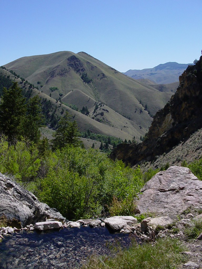 Goldbug Hot Springs TrailHiking · ~19 min drivePhoto: Ben B Miller, CC BY-SA 2.0 (via Flickr)
 Lime CreekHiking · ~21 min drivePhoto: waterarchives, CC BY-SA 2.0 (via Flickr)
- Mckim CreekHiking · ~8 min drivePhoto: User:akampfer, CC BY-SA 3.0 (via Wikimedia Commons)
- HAYDEN CREEKHiking · ~14 min drive
- Allison-Bear ValleyHiking · ~12 min drive
- Little Morgan-Morse CreekHiking · ~9 min drive
- LITTLE MORGAN-COW CREEKHiking · ~8 min drive
- CORRAL CREEK-HAT CREEKHiking · ~25 min drive
- Buck LakeHiking · ~14 min drive
- BASIN CREEK-HIGHHiking · ~13 min drive
Best time to visit POISON-COW CREEK
Best months: May–September. Best months have typical highs of 55–85 °F, lows of 30 °F or warmer (32 °F where the station doesn't record snow), at most one snowy day and no more than 12 wet days.
Jan
30° / 5°
Feb
34° / 8°
Mar
43° / 19°
Apr
52° / 25°
May
62° / 32°
Jun
71° / 38°
Jul
83° / 41°
Aug
81° / 40°
Sep
71° / 34°
Oct
55° / 25°
Nov
40° / 16°
Dec
29° / 6°
Typical high / low (°F) and days with rain or snow, 1991–2020. Measured at Leadore #2, ID, 29.8 mi away at 6,000 ft. The station sits about 1,000 ft lower than this place, so expect it a little cooler here. This station doesn't record snowfall. Source: NOAA NCEI U.S. Climate Normals 1991–2020.

