Basin Creek-High
- 5.2 mi
- round trip
- 3,581 ft
- climb
- 9,023 ft
- high point
- Out and back
- route
Is BASIN CREEK-HIGH open right now?
Alert in the area
The Forest Service lists an alert for Salmon-Challis National Forest.
Stoddard Bridge Construction Closure
Agency alert covering Salmon-Challis National Forest · Order 0413-07-17 · USFS · Salmon-Challis National Forest
As of · Source: USFS · Salmon-Challis National Forest. Agencies don't list every closure — check before you go.
Basin Creek-High is a hard out-and-back hike in Idaho's Salmon-Challis National Forest, within the Leadore Ranger District. The route is about 10.4 miles long, with a total elevation gain of 3,581 feet and a high point of 9,023 feet. The climb is rolling, but it gets steep around mile 2.1, where the grade reaches 38 percent. The trail starts at about 8,432 feet and ends at the same elevation, so the total gain and loss are equal. Plan on about 5.5 hours for the round trip. The hike sits close to several other routes. Allison-Bear Valley and Upper Bear Valley Lakes are each about 0.4 miles away, and North Fork Mckim is about a mile off. Basin Creek is roughly 3.1 miles away.
Local outfitters
- The Sawmill Station49 mi away
Not on Roamze yet. Their page has how to reach them.
- Allison-Bear ValleyHiking0.4 mi
- UPPER BEAR VALLEY LAKESHiking0.4 mi
- North Fork MckimHiking1 mi
- Buck LakeHiking1.1 mi
- BASIN CREEKHiking3.1 mi
- BASIN CREEK-HIGH SPUR 1Hiking3.3 mi
- BEAR VALLEY LAKES NRTHiking3.4 mi
- BASIN- BLM CUTOFFHiking4 mi
Source: Roamze catalog (indexable pages within 10 miles, PostGIS distance)
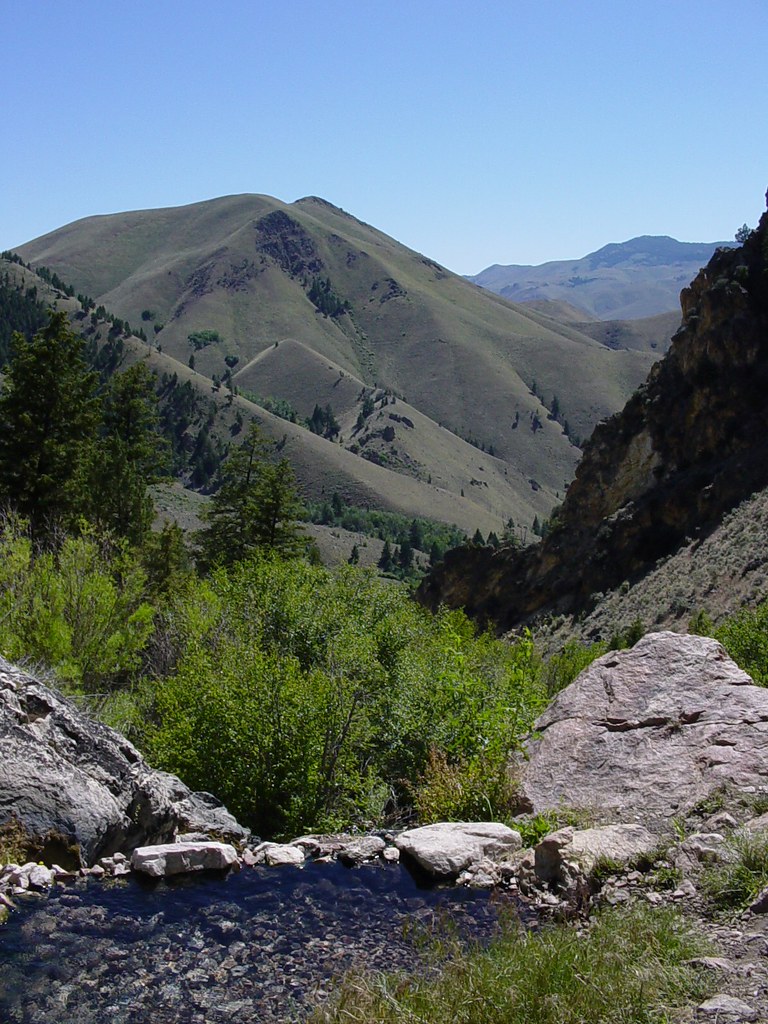 Goldbug Hot Springs TrailHiking · ~14 min drivePhoto: Ben B Miller, CC BY-SA 2.0 (via Flickr)
 Lime CreekHiking · ~17 min drivePhoto: waterarchives, CC BY-SA 2.0 (via Flickr)
 Mckim CreekHiking · ~10 min drivePhoto: User:akampfer, CC BY-SA 3.0 (via Wikimedia Commons)
- HAYDEN CREEKHiking · ~8 min drive
- Allison-Bear ValleyHiking · Next door
- North Fork MckimHiking · ~2 min drive
- UPPER BEAR VALLEY LAKESHiking · Next door
- MILL-HAYDEN LOOP WTHiking · ~24 min drive
- Buck LakeHiking · ~2 min drive
- BEAR VALLEY LAKES NRTHiking · ~6 min drive

