Mckim Creek
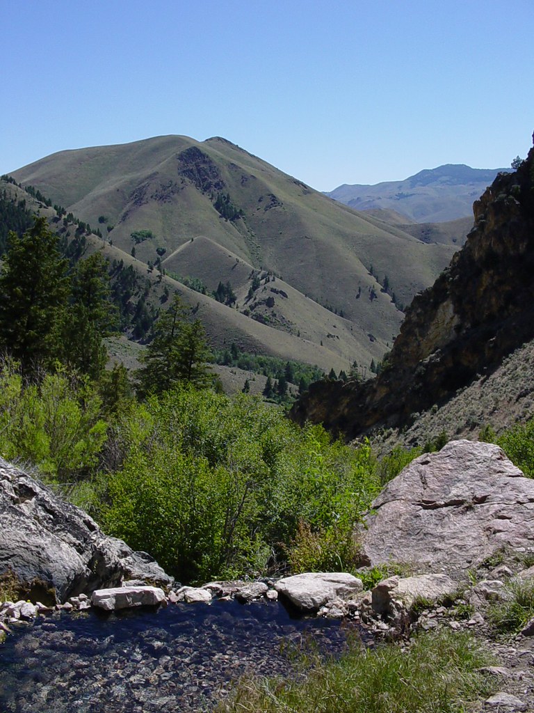
 Photo: User:akampfer, CC BY-SA 3.0 (via Wikimedia Commons)
- 1.9 mi
- round trip
- 551 ft
- climb
- 5,858 ft
- high point
- Out and back
- route
- May–Jun, Aug–Sep
- best months
Caution today
Agency alerts are in effect for this area; weather is marginal · USFS, OpenWeather · checked 11 h ago
Is Mckim Creek open right now?
Alert in the area
The Forest Service lists an alert for Salmon-Challis National Forest.
Stoddard Bridge Construction Closure
Agency alert covering Salmon-Challis National Forest · Order 0413-07-17 · USFS · Salmon-Challis National Forest
As of · Source: USFS · Salmon-Challis National Forest. Agencies don't list every closure — check before you go.
McKim Creek is an easy out-and-back hike of about 1.9 miles in Idaho's Salmon-Cobalt Ranger District, part of the Salmon-Challis National Forest. The trail rises from a low point of about 5,309 feet to a high of about 5,858 feet, a climb of roughly 550 feet one way. The route is on natural surface, and the Forest Service allows both horses and bikes. It is open year-round, so you can plan a trip any time of year. Summer is the most comfortable season. Typical averages from a nearby weather station show July highs around 87°F with lows near 45°F, while winter highs stay near freezing. That station sits about 800 feet lower than the trail's high point, so temperatures on the ridge run cooler. Mckim Stock is about 2 miles away, and Poison-Cow Creek and North Fork Mckim are both within about 5.5 miles. Warm Springs, a cross-country ski area, is about 6 miles off.
Local outfitters
- The Sawmill Station46 mi away
Not on Roamze yet. Their page has how to reach them.
- Mckim StockHiking2 mi
- POISON-COW CREEKHiking4.9 mi
- North Fork MckimHiking5.5 mi
- UPPER BEAR VALLEY LAKESHiking5.7 mi
- Allison-Bear ValleyHiking5.8 mi
- BASIN CREEK-HIGHHiking6.1 mi
- Warm SpringsCross-country skiing6.1 mi
 Goldbug Hot Springs TrailHikingPhoto: Ben B Miller, CC BY-SA 2.0 (via Flickr)6.2 mi
Source: Roamze catalog (indexable pages within 10 miles, PostGIS distance)
- Goldbug Hot Springs TrailHiking · ~11 min drivePhoto: Ben B Miller, CC BY-SA 2.0 (via Flickr)
 Lime CreekHiking · ~13 min drivePhoto: waterarchives, CC BY-SA 2.0 (via Flickr)
- Mckim StockHiking · ~3 min drive
- HAYDEN CREEKHiking · ~16 min drive
- Allison-Bear ValleyHiking · ~10 min drive
- POISON-COW CREEKHiking · ~8 min drive
- UPPER BEAR VALLEY LAKESHiking · ~10 min drive
- CORRAL CREEK-HAT CREEKHiking · ~23 min drive
- Buck LakeHiking · ~12 min drive
- North Fork MckimHiking · ~9 min drive
Best time to visit Mckim Creek
Best months: May–June and August–September. Best months have typical highs of 55–85 °F, lows of 30 °F or warmer (32 °F where the station doesn't record snow), at most one snowy day and no more than 12 wet days.
Jan
32° / 6°
3 wet
Feb
39° / 13°
3 wet
Mar
51° / 19°
4 wet
Apr
58° / 25°
5 wet
May
68° / 34°
7 wet
Jun
76° / 41°
6 wet
Jul
87° / 45°
4 wet
Aug
85° / 42°
4 wet
Sep
76° / 35°
5 wet
Oct
60° / 25°
5 wet
Nov
44° / 17°
4 wet
Dec
32° / 9°
3 wet
Typical high / low (°F) and days with rain or snow, 1991–2020. Measured at May 2sse, ID, 17.2 mi away at 5,050 ft. The station sits about 800 ft lower than this place, so expect it a little cooler here. This station doesn't record snowfall. Source: NOAA NCEI U.S. Climate Normals 1991–2020.

