Lime Creek
 Photo: waterarchives, CC BY-SA 2.0 (via Flickr)
- 10.6 mi
- round trip
- 2,555 ft
- climb
- 7,083 ft
- high point
- Out and back
- route
- May–Sep
- best months
Lime Creek is a hard hike on Bureau of Land Management land in Idaho's Salmon Field Office, about 2.5 miles from the town of Elk Bend. The route is an out-and-back of about 10.6 miles, with a one-way climb of roughly 2,555 feet from a low point of 4,323 feet to a high of 7,083 feet. The trail is natural-surfaced and allows both horses and bikes, so it works for riders and pack animals as well as hikers. Summer is the most comfortable time to go. Typical averages from a nearby weather station at Leadore, which sits about 1,000 feet lower, show July highs around 83°F with lows near 41°F. Winter is cold, with January highs around 30°F and lows near 5°F. The Goldbug Hot Springs Trail and the Warm Springs cross-country ski area are both about 1.5 miles away. Badger Basin and Rattlesnake are a little farther, at about 4 and 5 miles.
Best time to go · May–Sep
Best time to visit Lime Creek
Best months: May–September. Best months have typical highs of 55–85 °F, lows of 30 °F or warmer (32 °F where the station doesn't record snow), at most one snowy day and no more than 12 wet days.
Jan
30° / 5°
Feb
34° / 8°
Mar
43° / 19°
Apr
52° / 25°
May
62° / 32°
Jun
71° / 38°
Jul
83° / 41°
Aug
81° / 40°
Sep
71° / 34°
Oct
55° / 25°
Nov
40° / 16°
Dec
29° / 6°
Typical high / low (°F) and days with rain or snow, 1991–2020. Measured at Leadore #2, ID, 33.7 mi away at 6,000 ft. The station sits about 1,100 ft lower than this place, so expect it a little cooler here. This station doesn't record snowfall. Source: NOAA NCEI U.S. Climate Normals 1991–2020.
Keep exploring — more trails worth the drive
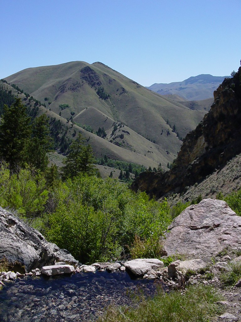 Photo: Ben B Miller, CC BY-SA 2.0 (via Flickr)
Goldbug Hot Springs Trail
~3 min drive
2.72-mile out-and-back hike in Idaho with 1,151 ft elevation gain and loss.
 Photo: User:akampfer, CC BY-SA 3.0 (via Wikimedia Commons)
Mckim Creek
~13 min drive
1.90-mile out-and-back trail in Idaho with 551 ft elevation gain.
HIKE
Rattlesnake
~9 min drive
8.97-mile out-and-back trail in Idaho with 1,540 ft gain
HIKE
Thunder Mountain Historic
~23 min drive
12.12-mile out-and-back trail in Idaho with 2,361 ft elevation gain.
HIKE
LIME CREEK
~6 min drive
5.32-mile out-and-back trail in Idaho with 1,376 ft elevation gain.
HIKE
Mckim Stock
~10 min drive
0.78-mile out-and-back trail in Idaho with 206 ft of elevation gain.
HIKE
Deer Creek
~11 min drive
9.26-mile out-and-back trail in Idaho with 246 ft elevation gain and 3,202 ft loss.
HIKE
Badger Basin
~7 min drive
5.67-mile out-and-back trail in Idaho with 2,935 ft of elevation gain.
HIKE
Williams Lake Handicapped
~12 min drive
0.53-mile out-and-back trail in Idaho with 4 ft of elevation gain.
HIKE
North Basin
~13 min drive
North Basin is an 11.71-mile out-and-back trail in Idaho with 1,275 feet of elevation gain.

