Little Morgan-Morse Creek
- 17.0 mi
- round trip
- 3,121 ft
- climb
- 9,023 ft
- high point
- Out and back
- route
Little Morgan-Morse Creek is a hard hike on Bureau of Land Management land in the Challis Field Office in Idaho. It is an out-and-back trail about 17 miles long, with a one-way elevation gain of 3,121 feet, taking you from a low point of about 6,127 feet to a high point of about 9,023 feet. The route is on natural surface, and it allows both horses and bikes. The trail is open year round, so it works as a destination any time of year. Nearby, Little Morgan-Cow Creek lies about half a mile away, and Morse Creek Campground sits about 6 miles off. Poison-Cow Creek and Patterson-Morse Creek are both within about 6 miles.
Local outfitters
- The Sawmill Station41 mi away
Not on Roamze yet. Their page has how to reach them.
- LITTLE MORGAN-COW CREEKHiking0.5 mi
- POISON-COW CREEKHiking5.3 mi
- Morse Creek CampgroundCamping6.2 mi
- PATTERSON-MORSE CREEKHiking6.3 mi
- MORSE CREEK CANYONHiking7.3 mi
- HAYDEN CREEKHiking7.4 mi
- CAROL CREEKHiking8.2 mi
- Allison-Bear ValleyHiking9 mi
Source: Roamze catalog (indexable pages within 10 miles, PostGIS distance)
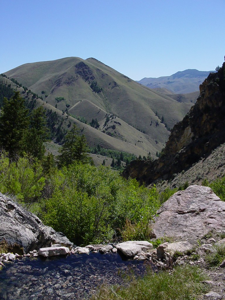 Goldbug Hot Springs TrailHiking · ~27 min drivePhoto: Ben B Miller, CC BY-SA 2.0 (via Flickr)
 Lime CreekHiking · ~29 min drivePhoto: waterarchives, CC BY-SA 2.0 (via Flickr)
 Mckim CreekHiking · ~17 min drivePhoto: User:akampfer, CC BY-SA 3.0 (via Wikimedia Commons)
- HAYDEN CREEKHiking · ~13 min drive
- PATTERSON-MORSE CREEKHiking · ~11 min drive
- POISON-COW CREEKHiking · ~9 min drive
- LITTLE MORGAN-COW CREEKHiking · Next door
- MILL-HAYDEN LOOP WTHiking · ~26 min drive
- CAROL CREEKHiking · ~14 min drive
- Patterson-Morse CreekHiking · ~13 min drive

