Hornet Creek
- 4.8 mi
- round trip
- 2,305 ft
- climb
- 8,668 ft
- high point
- Out and back
- route
Caution at last check
Agency alerts are in effect for this area; weather is marginal · USFS, OpenWeather · checked 23 h ago
Is HORNET CREEK open right now?
Alert in the area
The Forest Service lists an alert for Salmon-Challis National Forest.
Stoddard Bridge Construction Closure
Agency alert covering Salmon-Challis National Forest · Order 0413-07-17 · USFS · Salmon-Challis National Forest
As of · Source: USFS · Salmon-Challis National Forest. Agencies don't list every closure — check before you go.
Hornet Creek is a moderate out-and-back hike in Idaho's Salmon-Cobalt Ranger District of the Salmon-Challis National Forest, managed by the Forest Service. The trail starts at about 6,894 feet and climbs to a high point of 8,668 feet, with a total gain of 2,305 feet over the round trip. The route is front-loaded, with the steepest stretch at about 2.5 miles in, where the grade reaches 21 percent. The hike is about 9.6 miles long, and the one-way climb is 1,956 feet. The nearest town is Salmon, about 4.8 miles away. Several other hikes lie close by, including Gannett Creek at 1.4 miles and Beartrack at 2 miles. Wallace Lake Campground is about 4.4 miles away, and climbers can find Salmon Idaho Bouldering roughly 6.8 miles off.
- Gannett CreekHiking1.4 mi
- BeartrackHiking2 mi
- WebfootHiking2.3 mi
- Wallace Lake CampgroundCamping4.4 mi
- Salmon Idaho BoulderingRock climbing6.8 mi
- Peña BoulderRock climbing8.1 mi
- Tower Rock CampgroundCamping8.3 mi
- Morgan Bar CampgroundCamping8.5 mi
Source: Roamze catalog (indexable pages within 10 miles, PostGIS distance)
 Burns GulchHiking · ~15 min drivePhoto: WaterArchives.org from Sacramento, California, USA, CC BY-SA 2.0 (via Wikimedia Commons)
- WagonhammerHiking · ~15 min drivePhoto: WaterArchives.org from Sacramento, California, USA, CC BY-SA 2.0 (via Wikimedia Commons)
- Gannett CreekHiking · ~2 min drive
- Fritzer GulchHiking · ~22 min drive
 Interpretive TrailHiking · ~23 min drivePhoto: WaterArchives.org from Sacramento, California, USA, CC BY-SA 2.0 (via Wikimedia Commons)
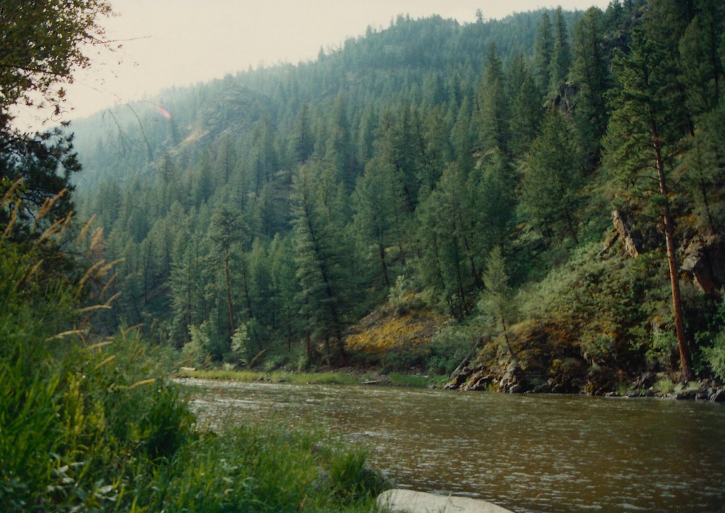 Boulder BasinHiking · ~20 min drivePhoto: roy.luck, CC BY 2.0 (via Flickr)
- Swampy MeadowsHiking · ~6 min drive
- Carl GulchHiking · ~22 min drive
- Lower MooseHiking · ~6 min drive
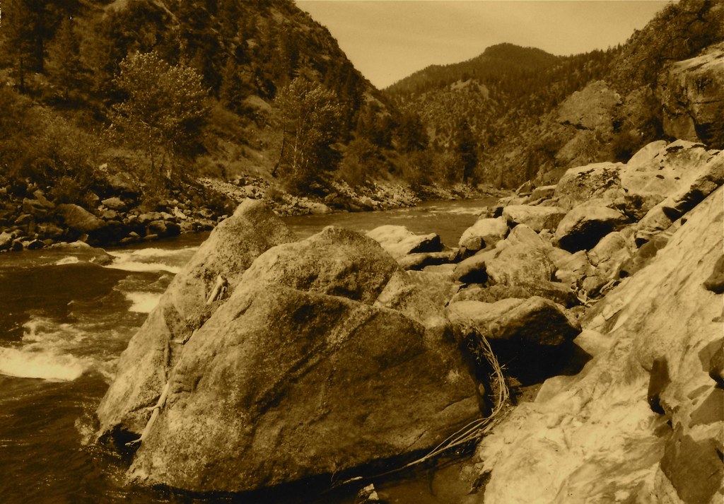 Stormy Pk.-VirginiaHiking · ~21 min drivePhoto: roy.luck, CC BY 2.0 (via Flickr)
