Lower Moose
- 2.7 mi
- round trip
- 59 ft
- climb
- 6,448 ft
- high point
- Out and back
- route
- Jun–Sep
- best months
Is Lower Moose open right now?
Alert in the area
The Forest Service lists an alert for Salmon-Challis National Forest.
Stoddard Bridge Construction Closure
Agency alert covering Salmon-Challis National Forest · Order 0413-07-17 · USFS · Salmon-Challis National Forest
As of · Source: USFS · Salmon-Challis National Forest. Agencies don't list every closure — check before you go.
Lower Moose is an easy, out-and-back hike of about 2.7 miles in the Salmon-Cobalt Ranger District of Idaho's Salmon-Challis National Forest. The trail starts and ends near the same point, with a low of about 6,036 feet and a high of about 6,448 feet, and the climb is gentle, with an elevation gain of about 59 feet. The route is on natural surface and is open year-round. Horses and bikes are both allowed, so the trail works for riders and pack animals as well as hikers. Summer is the most comfortable time to go. Typical averages from a nearby weather station in Jackson, Montana, run to highs around 77°F in July and 76°F in August, with lows in the low 40s. Winters there are cold, with January highs near 28°F. Several other trails lie within a few miles, including Little Moose Creek at about 0.9 miles and Daly Creek and Gannett Creek, each a little over 2 miles away. Wallace Lake Campground is about 7 miles off.
Best time to go · Jun–Sep
Best time to visit Lower Moose
Best months: June–September. Best months have typical highs of 55–85 °F, lows of 30 °F or warmer (32 °F where the station doesn't record snow), at most one snowy day and no more than 12 wet days.
Jan
28° / 8°
6 wet
Feb
31° / 8°
6 wet
Mar
39° / 16°
8 wet
Apr
46° / 23°
9 wet
May
57° / 31°
10 wet
Jun
66° / 37°
9 wet
Jul
77° / 42°
6 wet
Aug
76° / 39°
5 wet
Sep
66° / 32°
4 wet
Oct
51° / 25°
5 wet
Nov
36° / 14°
7 wet
Dec
27° / 7°
7 wet
Typical high / low (°F) and days with rain or snow, 1991–2020. Measured at Jackson, MT, 31.8 mi away at 6,480 ft. This station doesn't record snowfall. Source: NOAA NCEI U.S. Climate Normals 1991–2020.
Keep exploring — more trails worth the drive
 Photo: WaterArchives.org from Sacramento, California, USA, CC BY-SA 2.0 (via Wikimedia Commons)
Burns Gulch
~9 min drive
2.56-mile out-and-back trail in Idaho with 747 ft elevation gain.
Photo: WaterArchives.org from Sacramento, California, USA, CC BY-SA 2.0 (via Wikimedia Commons)Wagonhammer
~10 min drive
10.38-mile out-and-back trail in Idaho with 2,375 ft elevation gain.
HIKE
Gannett Creek
~4 min drive
3.18-mile out-and-back trail in Idaho with 517 ft elevation gain.
HIKE
HORNET CREEK
~6 min drive
9.56-mile out-and-back trail in Idaho with 2,305 ft elevation gain.
HIKE
Napoleon Gulch
~9 min drive
1.14-mile out-and-back trail in Idaho with 339 ft elevation gain.
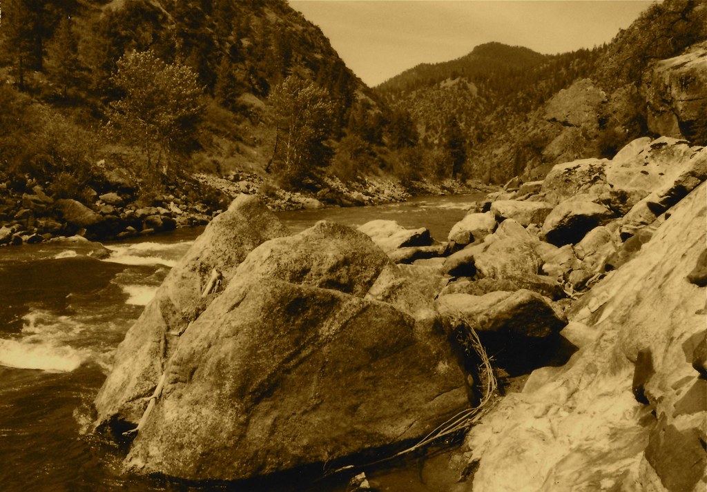 Photo: roy.luck, CC BY 2.0 (via Flickr)
Stormy Pk.-Virginia
~20 min drive
21.92-mile out-and-back trail in Idaho with 4,756 ft elevation gain.
HIKE
Brushy Gulch
~5 min drive
3.43-mile out-and-back trail in Idaho with 352 ft of elevation gain.
HIKE
Bird Creek
~7 min drive
4.25-mile out-and-back trail in Idaho with 2,539 ft of elevation loss.
HIKE
Beartrack
~10 min drive
Beartrack is a 2.62-mile out-and-back trail in Idaho with 244 feet of elevation gain.
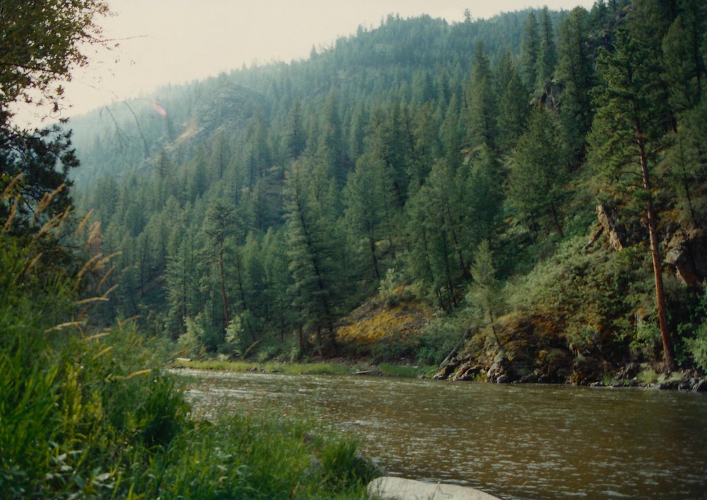 Photo: roy.luck, CC BY 2.0 (via Flickr)
Boulder Basin
~19 min drive
18.65-mile out-and-back trail in Idaho with 4,938 ft elevation gain.
