Midland Trail
- 5.2 mi
- round trip
- 2,777 ft
- climb
- 8,353 ft
- high point
- Out and back
- route
Caution at last check
Agency alerts are in effect for this area; weather is good · USFS, OpenWeather · checked 22 h ago
Is Midland Trail open right now?
No closures listed
The Forest Service lists no closures for Caribou-Targhee National Forest.
As of · Source: USFS · Caribou-Targhee National Forest. Agencies don't list every closure — check before you go.
Midland Trail is a hard out-and-back hike in Idaho's Caribou-Targhee National Forest, within the Montpelier Ranger District. The route is about 10 miles long, with a total elevation gain of 2,777 feet, and it reaches a high point of 8,353 feet. The trail starts at about 7,467 feet and ends at a similar elevation, so the climb is roughly split between the ascent and the descent. The trail is a steady climb, and the steepest stretch comes early, around 0.5 miles in, where the grade reaches about 22%. The trip takes about five hours, so plan on a full day on the trail. The trail sits in the Montpelier Ranger District of the Caribou-Targhee National Forest, managed by the Forest Service. The nearest town is Montpelier, and the trail is close to several other destinations. South Fork Bloomington and Worm Lake are both within a mile, and the Bloomington Lake climbing area is about 2 miles away. For an overnight stay, Paris Springs Campground is about 4 miles off.
- South Fork BloomingtonHiking0.4 mi
- Worm LakeHiking0.7 mi
- Bloomington LakeRock climbing2 mi
- Bloom BouldersRock climbing2.2 mi
- Willow FlatHiking3.9 mi
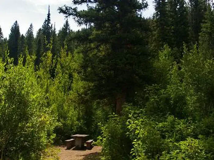 Paris Springs CampgroundCampingPhoto: Recreation.gov (RIDB) / public domain4 mi
 Willow Flat CampgroundCampingPhoto: Recreation.gov (RIDB) / public domain4.2 mi
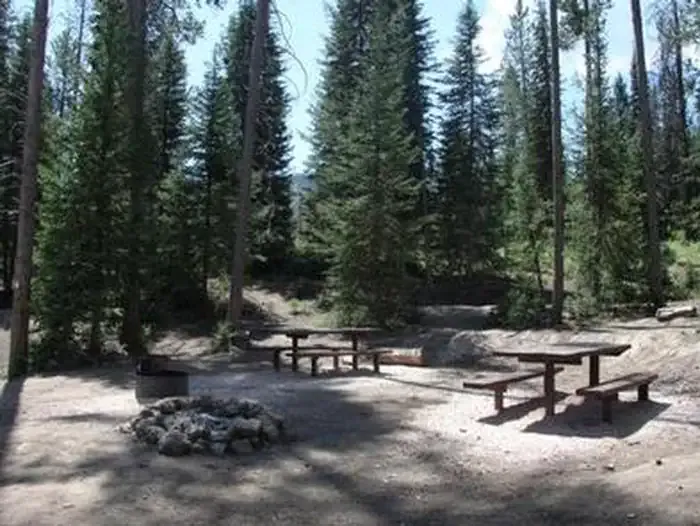 NORTH FORK CAMPGROUND - St. CHARLES CANYONCampingPhoto: Recreation.gov (RIDB) / public domain5.2 mi
Source: Roamze catalog (indexable pages within 10 miles, PostGIS distance)
- South Fork BloomingtonHiking · Next door
- Bloomington LakeHiking · ~4 min drive
- LimekilnHiking · ~7 min drive
- Paris PeakHiking · ~7 min drive
- Worm LakeHiking · ~1 min drive
- Willow Flat AltHiking · ~7 min drive
- Shoshone Indian TrailHiking · ~8 min drive
- Willow FlatHiking · ~7 min drive
- WildcatHiking · ~9 min drive
- Worm CreekHiking · ~8 min drive
Map and trail data © OpenStreetMap contributors
