Lick Creek Ridge
- 7.0 mi
- round trip
- 3,530 ft
- climb
- 7,482 ft
- high point
- Out and back
- route
Is LICK CREEK RIDGE open right now?
Alert in the area
The Forest Service lists 5 alerts for Payette National Forest.
Over Snow Vehicle Closure (Forestwide)
Agency alert covering Payette National Forest · Order 0412-638 · USFS · Payette National Forest
Over Snow Vehicle Closure (Brundage Mountain Resort Snowcat Routes)
Agency alert covering Payette National Forest · Order 0412-637 · USFS · Payette National Forest
Lost Valley Log Hauling
Agency alert covering Payette National Forest · USFS · Payette National Forest
Over Snow Vehicle Closure (Granite Mountain)
Agency alert covering Payette National Forest · Order 0412-635 · USFS · Payette National Forest
Gordon Titus Upper Elevation Parking Lot Winter Restrictions
Agency alert covering Payette National Forest · Order 0412-543 · USFS · Payette National Forest
As of · Source: USFS · Payette National Forest. Agencies don't list every closure — check before you go.
Lick Creek Ridge is a hard hike in Idaho's Payette National Forest, within the Council Ranger District. The route is an out-and-back that starts at about 5,200 feet and climbs to a high point of 7,482 feet, with a total elevation gain of 3,530 feet over the course of the trip. The climb is front-loaded, and the steepest stretch comes around mile 6, where the grade reaches about 23 percent. The hike is 14 miles long and takes about 6.5 hours to complete. The Forest Service manages the land, and the trailhead sits in the Council Ranger District of the Payette National Forest. The Lick Creek Ridge Trail lies about 1.7 miles away, and Upper Lick Creek is about 2.4 miles off. For an overnight stay, Huckleberry campground is about 2.5 miles away, and Lafferty campground is about 8.3 miles away.
Local outfitters
- Black Bear RV Park27 mi away
- Cornucopia Lodge & Packstation28 mi away
Not on Roamze yet. Their page has how to reach them.
- Lick Creek Ridge TrailHiking1.7 mi
- Upper Lick CreekHiking2.4 mi
- HuckleberryCamping2.5 mi
- Little Bear CreekHiking2.6 mi
- UPPER BEAR CREEKHiking3.5 mi
- LaffertyCamping8.3 mi
- Big BarCamping8.9 mi
 Hells CanyonRock climbingPhoto: lamblukas, CC BY 2.0 (via Flickr)8.9 mi
Source: Roamze catalog (indexable pages within 10 miles, PostGIS distance)
 Hells Canyon Reservoir ViewptHiking · ~14 min drivePhoto: WaterArchives.org from Sacramento, California, USA, CC BY-SA 2.0 (via Wikimedia Commons)
- Eckels CreekHiking · ~15 min drivePhoto: WaterArchives.org from Sacramento, California, USA, CC BY-SA 2.0 (via Wikimedia Commons)
- Allison CreekHiking · ~15 min drivePhoto: WaterArchives.org from Sacramento, California, USA, CC BY-SA 2.0 (via Wikimedia Commons)
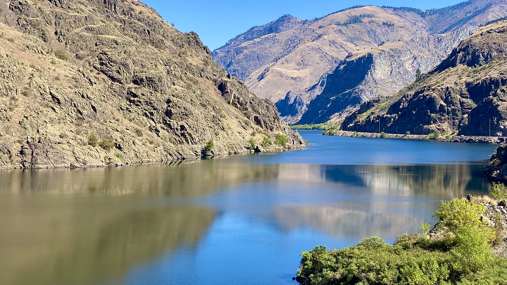 Reservoir Bench TrailHiking · ~17 min drivePhoto: lamblukas, CC BY 2.0 (via Flickr)
- Smith MountainHiking · ~10 min drive
- Hells Canyon Reservoir TrailHiking · ~17 min drivePhoto: lamblukas, CC BY 2.0 (via Flickr)
- Mickey Creek TrailHiking · ~7 min drive
- Echols Ridge TrailHiking · ~13 min drive
- Rapid RiverHiking · ~11 min drive
- Little Bear CreekHiking · ~4 min drive
