Hells Canyon Reservoir Viewpt
 Photo: WaterArchives.org from Sacramento, California, USA, CC BY-SA 2.0 (via Wikimedia Commons)
- 1.3 mi
- round trip
- 327 ft
- climb
- 2,708 ft
- high point
- Out and back
- route
- Apr–Jun, Sep–Oct
- best months
Is Hells Canyon Reservoir Viewpt open right now?
Alert in the area
The Forest Service lists 5 alerts for Payette National Forest.
Over Snow Vehicle Closure (Forestwide)
Agency alert covering Payette National Forest · Order 0412-638 · USFS · Payette National Forest
Over Snow Vehicle Closure (Brundage Mountain Resort Snowcat Routes)
Agency alert covering Payette National Forest · Order 0412-637 · USFS · Payette National Forest
Lost Valley Log Hauling
Agency alert covering Payette National Forest · USFS · Payette National Forest
Over Snow Vehicle Closure (Granite Mountain)
Agency alert covering Payette National Forest · Order 0412-635 · USFS · Payette National Forest
Gordon Titus Upper Elevation Parking Lot Winter Restrictions
Agency alert covering Payette National Forest · Order 0412-543 · USFS · Payette National Forest
As of · Source: USFS · Payette National Forest. Agencies don't list every closure — check before you go.
Hells Canyon Reservoir Viewpt is an easy out-and-back hike in Idaho's Payette National Forest, within the Council Ranger District. The trail is about 1.3 miles long, with a one-way elevation gain of 327 feet, and it starts at the Eckles Creek parking area. The route rises from a low point of 2,388 feet to a high point of 2,708 feet. The trail is natural-surface and allows bikes, and it is not an accessible route. It is managed by the Forest Service and is open year-round. For comfortable weather, aim for late spring or early fall. Typical averages from the nearby Halfway, Oregon weather station show May highs around 71°F and September highs around 79°F, while July and August average about 90°F. Big Bar campground and the Allison Creek hike are both about a mile away. The Hells Canyon climbing area is about 1.4 miles off, and the Reservoir Bench Trail is about 1.9 miles away.
Local outfitters
- Cornucopia Lodge & Packstation24 mi away
- Oregon Backcountry Outfitting29 mi away
Not on Roamze yet. Their page has how to reach them.
- Big BarCamping1.1 mi
- Allison CreekHikingPhoto: WaterArchives.org from Sacramento, California, USA, CC BY-SA 2.0 (via Wikimedia Commons)1.1 mi
 Hells CanyonRock climbingPhoto: lamblukas, CC BY 2.0 (via Flickr)1.4 mi
- LYNES RIDGEHiking1.9 mi
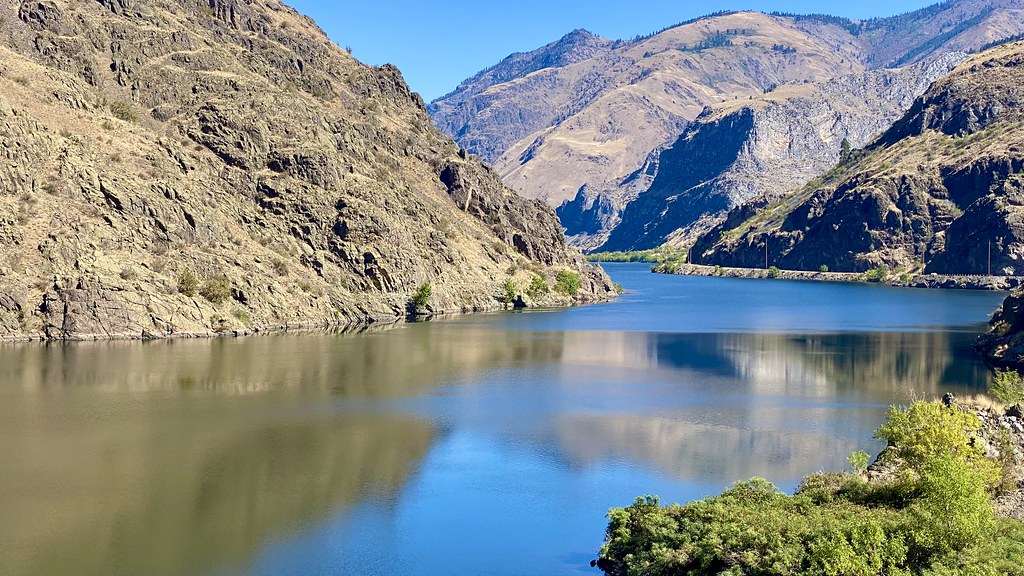 Reservoir Bench TrailHikingPhoto: lamblukas, CC BY 2.0 (via Flickr)1.9 mi
- Copper Creek CampgroundCamping3.3 mi
- HuckleberryCamping6.2 mi
- Deep CreekCanoeing7.7 mi
Source: Roamze catalog (indexable pages within 10 miles, PostGIS distance)
- Allison CreekHiking · ~2 min drivePhoto: WaterArchives.org from Sacramento, California, USA, CC BY-SA 2.0 (via Wikimedia Commons)
- Reservoir Bench TrailHiking · ~3 min drivePhoto: lamblukas, CC BY 2.0 (via Flickr)
- Hells Canyon Reservoir TrailHiking · ~3 min drivePhoto: lamblukas, CC BY 2.0 (via Flickr)
- Lime Point CreekHiking · ~6 min drive
 Buck Creek TrailHiking · ~10 min drivePhoto: U.S. Forest Service- Pacific Northwest Region, Public domain (via Wikimedia Commons)
- 32 Point Creek TrailHiking · ~8 min drivePhoto: U.S. Forest Service- Pacific Northwest Region, Public domain (via Wikimedia Commons)
- Eckels CreekHiking · ~5 min drivePhoto: WaterArchives.org from Sacramento, California, USA, CC BY-SA 2.0 (via Wikimedia Commons)
- Sheep RockHiking · ~11 min drive
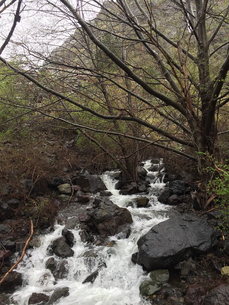 Stud Creek TrailHiking · ~17 min drivePhoto: Forest Service Pacific Northwest Region, Public Domain Mark (via Flickr)
 Haley Ridge TrailHiking · ~13 min drivePhoto: U.S. Forest Service- Pacific Northwest Region, Public domain (via Wikimedia Commons)
Best time to visit Hells Canyon Reservoir Viewpt
Best months: April–June and September–October. Best months have typical highs of 55–85 °F, lows of 30 °F or warmer (32 °F where the station doesn't record snow), at most one snowy day and no more than 12 wet days.
Jan
32° / 19°
12 wet · 7 snow
Feb
39° / 22°
10 wet · 4 snow
Mar
51° / 30°
10 wet · 1 snow
Apr
62° / 34°
10 wet
May
71° / 41°
9 wet
Jun
79° / 47°
7 wet
Jul
90° / 52°
3 wet
Aug
89° / 50°
3 wet
Sep
79° / 42°
4 wet
Oct
63° / 33°
7 wet
Nov
45° / 27°
11 wet · 2 snow
Dec
33° / 20°
12 wet · 6 snow
Typical high / low (°F) and days with rain or snow, 1991–2020. Measured at Halfway, OR, 24.4 mi away at 2,653 ft. Source: NOAA NCEI U.S. Climate Normals 1991–2020.
Closures we've recorded since August 2026
Over Snow Vehicle Closure (Forestwide)
Payette National Forest · Order dated November 2, 2026; seen Nov 10, 2026, no lift recorded · Forest Service
