Clear Creek
- 33.9 mi
- round trip
- 5,138 ft
- climb
- 8,694 ft
- high point
- Out and back
- route
Is Clear Creek open right now?
Alert in the area
The Forest Service lists an alert for Salmon-Challis National Forest.
Stoddard Bridge Construction Closure
Agency alert covering Salmon-Challis National Forest · Order 0413-07-17 · USFS · Salmon-Challis National Forest
As of · Source: USFS · Salmon-Challis National Forest. Agencies don't list every closure — check before you go.
Clear Creek is a hard hike of about 34 miles on the Salmon-Cobalt Ranger District of Idaho's Salmon-Challis National Forest, managed by the Forest Service. The route is an out-and-back that climbs from about 3,519 feet to roughly 8,694 feet, with a total elevation gain of about 5,138 feet. The trail is on natural surface and allows horses. Bikes are not permitted. The Bighorn Crags and Birch Creek hikes start just 0.2 miles away, and Pretty Gulch is about 1.3 miles off. For an overnight base, Ebenezer Campground sits about 8 miles from the trail.
- Bighorn CragsHiking0.2 mi
- Birch CreekHiking0.2 mi
- Pretty GulchHiking1.3 mi
- Garden Creek - Horse Heaven TrailHiking2.3 mi
- RancherioHiking3.5 mi
- Cove CreekHiking4.3 mi
- Ebenezer CampgroundCamping8 mi
- Spring Creek CampgroundCamping8.5 mi
Source: Roamze catalog (indexable pages within 10 miles, PostGIS distance)
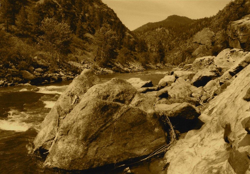 Stormy Pk.-VirginiaHiking · ~10 min drivePhoto: roy.luck, CC BY 2.0 (via Flickr)
- Garden Creek - Horse Heaven TrailHiking · ~4 min drive
- Corral Flat - Sage BrushHiking · ~8 min drive
- Garden Creek - Horse Heaven Spur 1Hiking · ~16 min drive
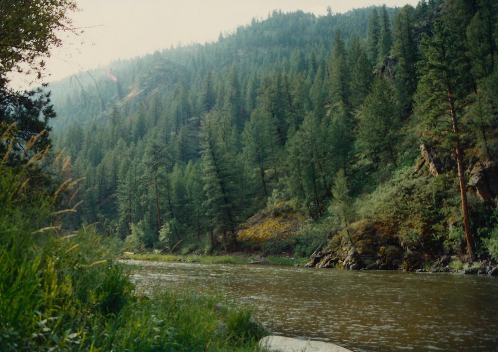 Boulder BasinHiking · ~12 min drivePhoto: roy.luck, CC BY 2.0 (via Flickr)
- ElkhornHiking · ~10 min drive
- Lick CreekHiking · ~14 min drive
- Stoddard AccessHiking · ~20 min drive
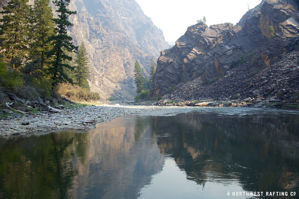 StoddardHiking · ~21 min drivePhoto: Northwest Rafting Company, CC BY 2.0 (via Flickr)
- Fritzer GulchHiking · ~11 min drive
