Bighorn Crags
- 59.3 mi
- round trip
- 5,717 ft
- climb
- 9,306 ft
- high point
- Out and back
- route
Is Bighorn Crags open right now?
Alert in the area
The Forest Service lists an alert for Salmon-Challis National Forest.
Stoddard Bridge Construction Closure
Agency alert covering Salmon-Challis National Forest · Order 0413-07-17 · USFS · Salmon-Challis National Forest
As of · Source: USFS · Salmon-Challis National Forest. Agencies don't list every closure — check before you go.
Bighorn Crags is a hard out-and-back hike in Idaho's Salmon-Cobalt Ranger District, part of the Salmon-Challis National Forest. The route is about 59 miles long, and it climbs more than 5,700 feet from a low of about 3,400 feet to a high of 9,300 feet. The trail is natural-surface and open to horses. Bikes are not allowed. The parking area is at the Clear Creek trailhead, and the trail is open year-round. Birch Creek and Clear Creek are both hikes within a quarter mile of the trailhead. Pretty Gulch is about a mile and a half away, and Ebenezer Campground sits roughly 8 miles off.
- Birch CreekHiking0.1 mi
- Clear CreekHiking0.2 mi
- Pretty GulchHiking1.3 mi
- Garden Creek - Horse Heaven TrailHiking2.4 mi
- RancherioHiking3.6 mi
- Cove CreekHiking4.4 mi
- Ebenezer CampgroundCamping8.1 mi
- Spring Creek CampgroundCamping8.5 mi
Source: Roamze catalog (indexable pages within 10 miles, PostGIS distance)
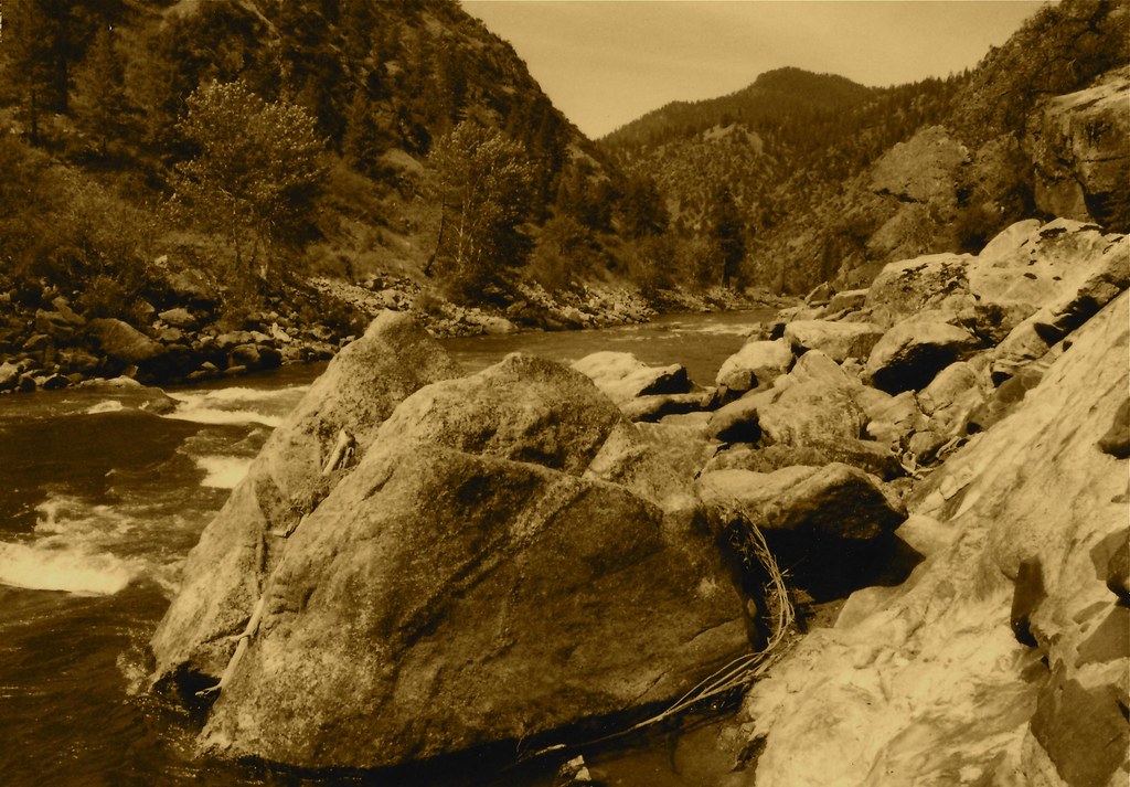 Stormy Pk.-VirginiaHiking · ~10 min drivePhoto: roy.luck, CC BY 2.0 (via Flickr)
- Garden Creek - Horse Heaven TrailHiking · ~4 min drive
- Corral Flat - Sage BrushHiking · ~8 min drive
- Garden Creek - Horse Heaven Spur 1Hiking · ~16 min drive
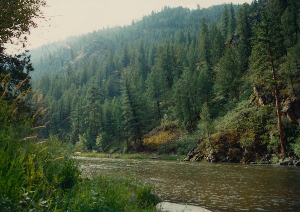 Boulder BasinHiking · ~12 min drivePhoto: roy.luck, CC BY 2.0 (via Flickr)
- ElkhornHiking · ~10 min drive
- Lick CreekHiking · ~14 min drive
- Stoddard AccessHiking · ~21 min drive
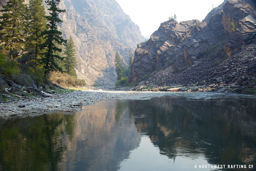 StoddardHiking · ~21 min drivePhoto: Northwest Rafting Company, CC BY 2.0 (via Flickr)
- Fritzer GulchHiking · ~11 min drive
