Caribou Lake Trail
- 2.0 mi
- round trip
- 1,735 ft
- climb
- 5,227 ft
- high point
- Out and back
- route
Caution today
Agency alerts are in effect for this area; weather is good · USFS, OpenWeather · checked 6 h ago
Is Caribou Lake Trail open right now?
Closure in the area
There's a closure order in Idaho Panhandle National Forests. It doesn't name Caribou Lake Trail, so check the source for the area it covers (3 listed).
Emergency Road Closure Lightning Creek / Forest Road 419
Agency closure covering Idaho Panhandle National Forests · Order 0104-06-26-002 · USFS · Idaho Panhandle National Forests
Abandoned Mines Area Closure
Agency closure covering Idaho Panhandle National Forests · Order 1-04-00-25-001 · USFS · Idaho Panhandle National Forests
Idaho Panhandle Seasonal Food Storage Order
Agency closure covering Idaho Panhandle National Forests · Order 01-04-00-24-001 · USFS · Idaho Panhandle National Forests
Beehive Lake Trail #279 Closure
Agency alert covering Sandpoint Ranger District · Order 01-04-06-26-007 · USFS · Sandpoint Ranger District
Heavy Truck Traffic on FS Road 209
Agency alert covering Idaho Panhandle National Forests · USFS · Idaho Panhandle National Forests
As of · Source: USFS · Idaho Panhandle National Forests. Agencies don't list every closure — check before you go.
Caribou Lake Trail is a moderate hike of about 4 miles in the Sandpoint Ranger District of the Idaho Panhandle National Forests, managed by the Forest Service. The trail is an out-and-back, and the one-way climb is about 400 feet, with the total round-trip gain reaching about 1,700 feet. The steepest stretch comes early, around 0.46 miles from the start, with a grade of about 18 percent. The trail starts at roughly 5,195 feet and reaches a high point of about 5,227 feet. The back-loaded climb profile means the ascent is more pronounced on the way up than on the way down. Caribou Lake is about 0.7 miles away, and Stewart's Loop and Summit View Loop are both about 4 miles off. For paddling, the Pack River is about 9 miles away.
Local outfitters
- Nordman Resort19 mi away
- Kootenai River Campground35 mi away
Not on Roamze yet. Their page has how to reach them.
- CARIBOU LAKEHiking0.7 mi
- Stewart's LoopHiking3.9 mi
- Summit View LoopHiking4 mi
- Bear GrassMountain biking4 mi
- Colburn Lake LoopHiking4.1 mi
- Sunnyside TrailHiking4.6 mi
- Nature TrailHiking4.9 mi
- Pack RiverCanoeing8.8 mi
Source: Roamze catalog (indexable pages within 10 miles, PostGIS distance)
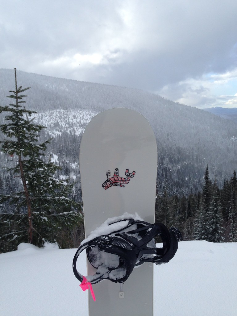 Uleda Ridge TrailHiking · ~8 min drivePhoto: igb, CC BY 2.0 (via Flickr)
 Pipeline TrailHiking · ~21 min drivePhoto: mjhbower, CC BY-SA 2.0 (via Flickr)
- MickinnickHiking · ~16 min drive
- Grandma's TrailHiking · ~20 min drivePhoto: mjhbower, CC BY-SA 2.0 (via Flickr)
- Meadow TrailHiking · ~22 min drivePhoto: mjhbower, CC BY-SA 2.0 (via Flickr)
- Fault LakeHiking · ~17 min drive
- Stewart's LoopHiking · ~7 min drive
- CARIBOU LAKEHiking · ~1 min drive
- WHITE MOUNTAINHiking · ~18 min drive
- Summit View LoopHiking · ~7 min drive

Map and trail data © OpenStreetMap contributors
