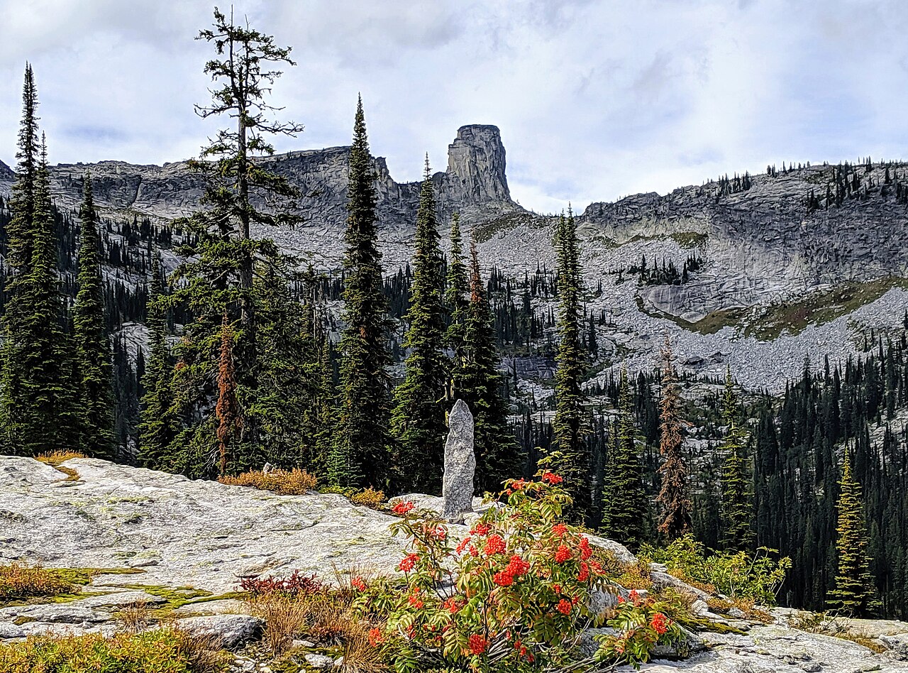
Fault Lake
- 11.6 mi
- round trip
- 2,819 ft
- climb
- 6,024 ft
- high point
- Out and back
- route
Is Fault Lake open right now?
Closure in the area
There's a closure order in Idaho Panhandle National Forests. It doesn't name Fault Lake, so check the source for the area it covers (3 listed).
Emergency Road Closure Lightning Creek / Forest Road 419
Agency closure covering Idaho Panhandle National Forests · Order 0104-06-26-002 · USFS · Idaho Panhandle National Forests
Abandoned Mines Area Closure
Agency closure covering Idaho Panhandle National Forests · Order 1-04-00-25-001 · USFS · Idaho Panhandle National Forests
Idaho Panhandle Seasonal Food Storage Order
Agency closure covering Idaho Panhandle National Forests · Order 01-04-00-24-001 · USFS · Idaho Panhandle National Forests
Beehive Lake Trail #279 Closure
Agency alert covering Sandpoint Ranger District · Order 01-04-06-26-007 · USFS · Sandpoint Ranger District
Heavy Truck Traffic on FS Road 209
Agency alert covering Idaho Panhandle National Forests · USFS · Idaho Panhandle National Forests
As of · Source: USFS · Idaho Panhandle National Forests. Agencies don't list every closure — check before you go.
Fault Lake is a hard hike in Idaho's Idaho Panhandle National Forests, within the Sandpoint Ranger District. The route is an out-and-back that climbs from about 3,200 feet to 6,024 feet, a gain of about 2,820 feet, and the round trip is roughly 11.6 miles. The trail is natural-surfaced and open to both horses and bikes. The Forest Service manages the land, and the hiking season runs from June 1 to September 30. Mccormick Ridge is about a mile away, and the Pack River offers canoeing roughly 2 miles off. Chimney Rock and the East Face/Chimney Rock climbing area are both about 4.5 miles from the trail.
Local outfitters
- Nordman Resort15 mi away
- Kootenai River Campground33 mi away
Not on Roamze yet. Their page has how to reach them.
- Mccormick RidgeHiking1.1 mi
- Pack RiverCanoeing1.9 mi
- Chimney RockHiking3.4 mi
- East Face/Chimney RockRock climbing4.5 mi
- West Face/Chimney RockRock climbing4.5 mi
- Fs Road 2667 Spur (@ 48.63558, -116.56086)Camping4.7 mi
- Fs Road 2667a (Roman Nose Campground)Camping4.8 mi
- Deep CreekCanoeing9.8 mi
Source: Roamze catalog (indexable pages within 10 miles, PostGIS distance)
 Ole Humpback TrailHiking · ~22 min drivePhoto: Stephen Wolfe from Columbus, OH, USA, CC BY 2.0 (via Wikimedia Commons)
- Mccormick RidgeHiking · ~2 min drive
- Hunt Lake TrailHiking · ~8 min drive
- Myrtle FallsHiking · ~22 min drivePhoto: Stephen Wolfe from Columbus, OH, USA, CC BY 2.0 (via Wikimedia Commons)
- MARTIN CREEKHiking · ~7 min drive
- Mount Roothaan TrailHiking · ~10 min drive
- Scenic Interpretive LoopHiking · ~8 min drive
- Beehive LakesHiking · ~8 min drive
- Harrison LakeHiking · ~11 min drive
- Roman Nose LakesHiking · ~8 min drive