Stewart's Loop
- 0.4 mi
- distance
- 48 ft
- climb
- 6,392 ft
- high point
- Lollipop
- route
Stewart's Loop is a short, easy loop hike in Idaho, about 0.4 miles long and rising about 48 feet from a low point of 6,331 feet to a high of 6,392 feet. It sits in a cluster of trails near the town of Bronx, about 4.5 miles away. The route is a loop, so it starts and ends at the same point. The climb is gentle, with the highest point reached within the short distance. Bikes are not allowed on this trail. The loop makes an easy addition to a day spent exploring the surrounding area. Summit View Loop lies just 0.1 mile away, and Bear Grass, a mountain biking trail, is 0.2 mile off. Colburn Lake Loop and the Sunnyside Trail are both within a mile.
Local outfitters
- Nordman Resort22 mi away
- Kootenai River Campground34 mi away
Not on Roamze yet. Their page has how to reach them.
- Summit View LoopHiking0.1 mi
- Bear GrassMountain biking0.2 mi
- Colburn Lake LoopHiking0.5 mi
- Sunnyside TrailHiking0.8 mi
- Nature TrailHiking1 mi
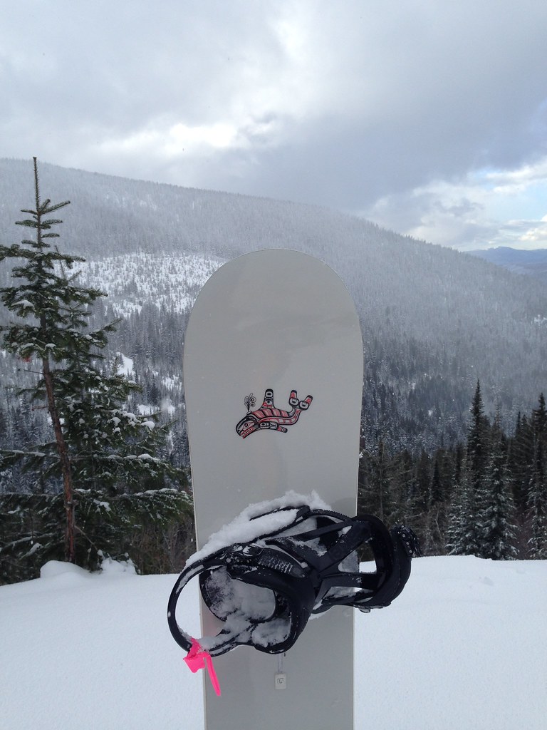 Uleda Ridge TrailHikingPhoto: igb, CC BY 2.0 (via Flickr)1.4 mi
 Schweitzer Mountain ResortDownhill skiingPhoto: Lómelinde at German Wikipedia, Public domain (via Wikimedia Commons)1.8 mi
- View-Ski LoopHiking2.8 mi
Source: Roamze catalog (indexable pages within 10 miles, PostGIS distance)
- Uleda Ridge TrailHiking · ~2 min drivePhoto: igb, CC BY 2.0 (via Flickr)
 Pipeline TrailHiking · ~15 min drivePhoto: mjhbower, CC BY-SA 2.0 (via Flickr)
 Gold HillHiking · ~18 min drivePhoto: dknepper, CC BY-SA 3.0 (via Wikimedia Commons)
- Grandma's TrailHiking · ~13 min drivePhoto: mjhbower, CC BY-SA 2.0 (via Flickr)
- Meadow TrailHiking · ~15 min drivePhoto: mjhbower, CC BY-SA 2.0 (via Flickr)
- MickinnickHiking · ~10 min drive
- Summit View LoopHiking · Next door
- Sunnyside TrailHiking · ~1 min drive
- MARTIN CREEKHiking · ~21 min drive
- Colburn Lake LoopHiking · Next door
Map and trail data © OpenStreetMap contributors
