Sunnyside Trail
- 0.7 mi
- round trip
- 1,151 ft
- climb
- 5,182 ft
- high point
- Out and back
- route
Sunnyside Trail is a short, moderate out-and-back hike in Idaho, about 4 miles from the town of Bronx. The trail is roughly 1.4 miles long, and the round trip climbs about 1,150 feet, with the high point at 5,182 feet. The route starts at that high point and descends to a low of 4,974 feet, so the climb is split between the two halves of the trip. The steepest stretch comes at about half a mile in, with a grade of 24 percent. The trail is a compact option for a short outing. It takes about an hour to complete, and the surrounding area offers several other routes within a mile. Nature Trail is just 0.2 miles away, and Summit View Loop and Colburn Lake Loop are both within a mile. For a longer stay, Schweitzer Mountain Resort sits about a mile off.
Local outfitters
- Nordman Resort23 mi away
- Kootenai River Campground34 mi away
Not on Roamze yet. Their page has how to reach them.
- Nature TrailHiking0.2 mi
- Bear GrassMountain biking0.3 mi
- Summit View LoopHiking0.6 mi
- Colburn Lake LoopHiking0.7 mi
- Stewart's LoopHiking0.8 mi
 Schweitzer Mountain ResortDownhill skiingPhoto: Lómelinde at German Wikipedia, Public domain (via Wikimedia Commons)1.1 mi
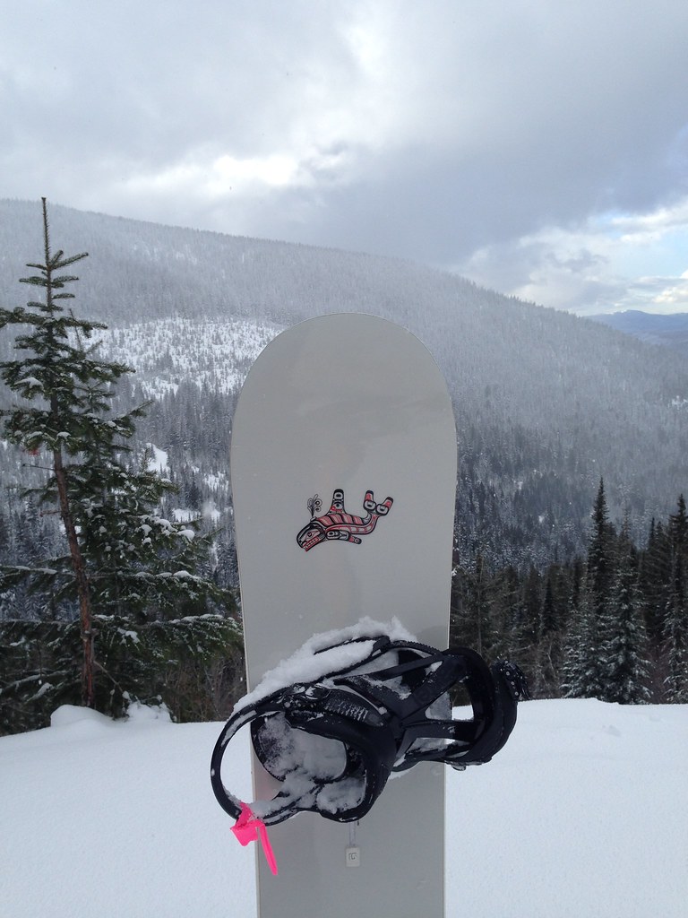 Uleda Ridge TrailHikingPhoto: igb, CC BY 2.0 (via Flickr)1.2 mi
 Springy PointCampingPhoto: Recreation.gov (RIDB) / public domain9.5 mi
Source: Roamze catalog (indexable pages within 10 miles, PostGIS distance)
- Uleda Ridge TrailHiking · ~2 min drivePhoto: igb, CC BY 2.0 (via Flickr)
 Pipeline TrailHiking · ~14 min drivePhoto: mjhbower, CC BY-SA 2.0 (via Flickr)
 Gold HillHiking · ~17 min drivePhoto: dknepper, CC BY-SA 3.0 (via Wikimedia Commons)
- Grandma's TrailHiking · ~12 min drivePhoto: mjhbower, CC BY-SA 2.0 (via Flickr)
- Meadow TrailHiking · ~14 min drivePhoto: mjhbower, CC BY-SA 2.0 (via Flickr)
- WHITE MOUNTAINHiking · ~24 min drive
- Summit View LoopHiking · ~1 min drive
- Nature TrailHiking · Next door
- Fault LakeHiking · ~24 min drive
- Colburn Lake LoopHiking · ~1 min drive
Map and trail data © OpenStreetMap contributors
