Mickinnick
- 7.4 mi
- round trip
- 2,062 ft
- climb
- 4,275 ft
- high point
- Out and back
- route
Mickinnick is a hard hike in northern Idaho, about 1.6 miles from the town of Ponderay on land managed by the Forest Service. The route is an out-and-back that climbs from a low point of 2,210 feet to a high of 4,275 feet, with a total elevation gain of 2,062 feet over 7.4 miles. Bikes are allowed on the natural-surface trail, and the route is not accessible. The most comfortable stretch for a visit runs from June through September, when the trail is typically open. That window also gives hikers the most time to reach the high point before the season closes. Nearby, the Pend d' Oreille Bay Trail lies about 2.4 miles away, and the View-Ski Loop and Grandma's Trail are both within about 3.5 miles. For an overnight stay, Springy Point campground is about 5 miles off.
Local outfitters
- Nordman Resort28 mi away
- Kootenai River Campground33 mi away
Not on Roamze yet. Their page has how to reach them.
- Pend d' Oreille Bay TrailHiking2.4 mi
- View-Ski LoopHiking3 mi
 Grandma's TrailHikingPhoto: mjhbower, CC BY-SA 2.0 (via Flickr)3.5 mi
 Schweitzer Mountain ResortDownhill skiingPhoto: Lómelinde at German Wikipedia, Public domain (via Wikimedia Commons)4 mi
- Pipeline TrailHikingPhoto: mjhbower, CC BY-SA 2.0 (via Flickr)4.3 mi
- Meadow TrailHikingPhoto: mjhbower, CC BY-SA 2.0 (via Flickr)4.4 mi
 Springy PointCampingPhoto: Recreation.gov (RIDB) / public domain5.1 mi
- Pend Oreille Lake AreaLake fishing7.6 mi
Source: Roamze catalog (indexable pages within 10 miles, PostGIS distance)
- Grandma's TrailHiking · ~6 min drivePhoto: mjhbower, CC BY-SA 2.0 (via Flickr)
- Pipeline TrailHiking · ~7 min drivePhoto: mjhbower, CC BY-SA 2.0 (via Flickr)
 Gold HillHiking · ~8 min drivePhoto: dknepper, CC BY-SA 3.0 (via Wikimedia Commons)
 STRONG CREEKHiking · ~26 min drivePhoto: Forest Service - Northern Region, Public Domain Mark (via Flickr)
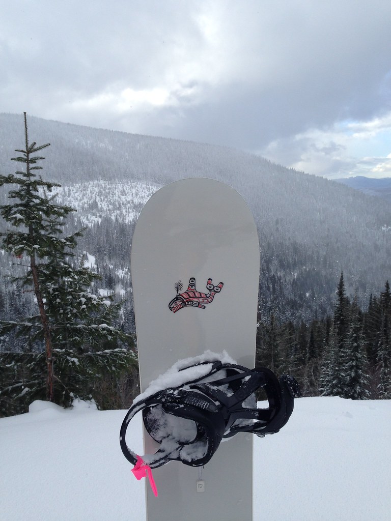 Uleda Ridge TrailHiking · ~9 min drivePhoto: igb, CC BY 2.0 (via Flickr)
- Meadow TrailHiking · ~8 min drivePhoto: mjhbower, CC BY-SA 2.0 (via Flickr)
- Mineral PointHiking · ~19 min drive
- View-Ski LoopHiking · ~5 min drive
- Pend d' Oreille Bay TrailHiking · ~4 min drive
- Wylie KnobHiking · ~26 min drive
