Uleda Ridge Trail
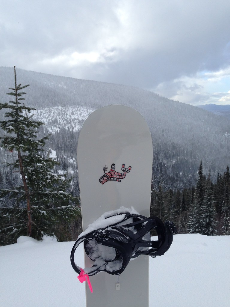 Photo: igb, CC BY 2.0 (via Flickr)
- 1.4 mi
- round trip
- 516 ft
- climb
- 6,064 ft
- high point
- Out and back
- route
Uleda Ridge Trail is an easy out-and-back hike in Idaho, about 4.7 miles from the town of Bronx. The trail is 2.8 miles long, with a total elevation gain of 516 feet, and the one-way climb is about 218 feet. The route starts at roughly 6,041 feet and reaches a high point of about 6,064 feet, with the steepest stretch at about 0.64 miles in, where the grade reaches 10%. The most comfortable time to go is summer, when typical averages from a nearby weather station run in the low to mid 80s °F. Winter is cold, with typical averages in the low 20s °F. Several other trails sit about a mile away, including Bear Grass for mountain biking and the Sunnyside Trail and Nature Trail for hiking. Schweitzer Mountain Resort, a downhill ski area, is about 1.8 miles off.
Local outfitters
- Nordman Resort23 mi away
- Kootenai River Campground35 mi away
Not on Roamze yet. Their page has how to reach them.
- Bear GrassMountain biking1.2 mi
- Sunnyside TrailHiking1.2 mi
- Nature TrailHiking1.2 mi
- Summit View LoopHiking1.3 mi
- Stewart's LoopHiking1.4 mi
- Colburn Lake LoopHiking1.7 mi
 Schweitzer Mountain ResortDownhill skiingPhoto: Lómelinde at German Wikipedia, Public domain (via Wikimedia Commons)1.8 mi
 Springy PointCampingPhoto: Recreation.gov (RIDB) / public domain9.2 mi
Source: Roamze catalog (indexable pages within 10 miles, PostGIS distance)
 Grandma's TrailHiking · ~11 min drivePhoto: mjhbower, CC BY-SA 2.0 (via Flickr)
- Pipeline TrailHiking · ~13 min drivePhoto: mjhbower, CC BY-SA 2.0 (via Flickr)
 Gold HillHiking · ~17 min drivePhoto: dknepper, CC BY-SA 3.0 (via Wikimedia Commons)
- Summit View LoopHiking · ~2 min drive
- Meadow TrailHiking · ~14 min drivePhoto: mjhbower, CC BY-SA 2.0 (via Flickr)
- MickinnickHiking · ~9 min drive
- Stewart's LoopHiking · ~2 min drive
- Sunnyside TrailHiking · ~2 min drive
- Quartz View TrailHiking · ~22 min drive
- Colburn Lake LoopHiking · ~3 min drive
Map and trail data © OpenStreetMap contributors
