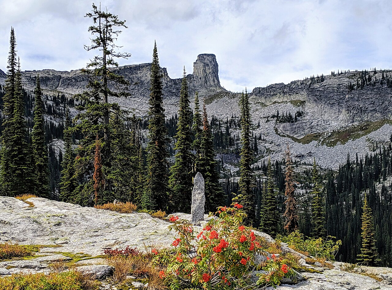
Pack River
- 9.3 mi
- distance
- 3,621 ft
- high point
- May–Sep
- best months
Caution today
Agency alerts are in effect for this area; weather is good · USFS, OpenWeather · checked 6 h ago
Is Pack River open right now?
Closure in the area
There's a closure order in Idaho Panhandle National Forests. It doesn't name Pack River, so check the source for the area it covers (3 listed).
Emergency Road Closure Lightning Creek / Forest Road 419
Agency closure covering Idaho Panhandle National Forests · Order 0104-06-26-002 · USFS · Idaho Panhandle National Forests
Abandoned Mines Area Closure
Agency closure covering Idaho Panhandle National Forests · Order 1-04-00-25-001 · USFS · Idaho Panhandle National Forests
Idaho Panhandle Seasonal Food Storage Order
Agency closure covering Idaho Panhandle National Forests · Order 01-04-00-24-001 · USFS · Idaho Panhandle National Forests
Beehive Lake Trail #279 Closure
Agency alert covering Sandpoint Ranger District · Order 01-04-06-26-007 · USFS · Sandpoint Ranger District
Heavy Truck Traffic on FS Road 209
Agency alert covering Idaho Panhandle National Forests · USFS · Idaho Panhandle National Forests
As of · Source: USFS · Idaho Panhandle National Forests. Agencies don't list every closure — check before you go.
Pack River is a canoeing route in the Sandpoint Ranger District of the Idaho Panhandle National Forests in northern Idaho, about 9 miles from the district's boundaries. It sits within the forest's network of paddling waters, and the surrounding area offers a mix of hiking, camping and climbing within a short drive. Summer is the most comfortable time to paddle. Typical averages from a nearby weather station show July and August highs around 83°F with only five or six wet days a month, while winter brings highs near freezing and regular snow from December through February. That station sits roughly 1,250 feet lower than the river, so temperatures on the water run cooler. Fault Lake and Martin Creek are both hikes within about 3 miles. Roman Nose Campground, about 6 miles away, offers a place to camp. Deep Creek, another canoeing route, lies about 9 miles off.
Local outfitters
- Kootenai River Campground32 mi away
Not on Roamze yet. Their page has how to reach them.
- Fault LakeHiking1.9 mi
- MARTIN CREEKHiking2.6 mi
- Mccormick RidgeHiking2.7 mi
- Fs Road 2667 Spur (@ 48.63558, -116.56086)Camping5.8 mi
- Fs Road 2667a (Roman Nose Campground)Camping5.9 mi
- East Face/Chimney RockRock climbing6.3 mi
- West Face/Chimney RockRock climbing6.3 mi
- Deep CreekCanoeing9.1 mi
Source: Roamze catalog (indexable pages within 10 miles, PostGIS distance)
 Moyie RiverCanoeing · ~45 min drivePhoto: Public domain (via Wikimedia Commons)
- Kalispell Bay Boat LaunchBoat launch · ~26 min drive
- Yaak River CampgroundFloat trip · ~49 min drive
- Deep CreekCanoeing · ~16 min drive
- Smith Lake Boating SiteBoat launch · ~38 min drive
- Snyder Guard StationFloat trip · ~52 min drive
- Rapid Lightning CreekCanoeing · ~30 min drive
- Brush Lake Boating SiteBoat launch · ~45 min drive
- Granite CreekCanoeing · ~30 min drive
- Sam Owen Boat DockBoat launch · ~47 min drive
Best time to visit Pack River
Best months: May–September. Best months have typical highs of 55–85 °F, lows of 30 °F or warmer (32 °F where the station doesn't record snow), at most one snowy day and no more than 12 wet days.
Jan
32° / 22°
16 wet · 10 snow
Feb
37° / 22°
13 wet · 6 snow
Mar
46° / 26°
14 wet · 4 snow
Apr
57° / 31°
13 wet
May
68° / 39°
12 wet
Jun
74° / 44°
11 wet
Jul
83° / 48°
6 wet
Aug
83° / 46°
5 wet
Sep
72° / 39°
7 wet
Oct
54° / 32°
12 wet
Nov
38° / 27°
15 wet · 5 snow
Dec
31° / 22°
17 wet · 11 snow
Typical high / low (°F) and days with rain or snow, 1991–2020. Measured at Priest Rvr Exp Stn, ID, 17.6 mi away at 2,371 ft. The station sits about 1,300 ft lower than this place, so expect it a little cooler here. Source: NOAA NCEI U.S. Climate Normals 1991–2020.
Closures we've recorded since August 2026
Silver Fire Closure - Upper Pack River Road and Trails
Sandpoint Ranger District · Order dated September 3, 2026; seen Sep 4, 2026 → lifted Sep 18, 2026 · Forest Service
Silver Fire Closure - Upper Pack River Road and Trails
Sandpoint Ranger District · Order dated August 30, 2026; seen Aug 30, 2026 → lifted Sep 4, 2026 · Forest Service