Riverside Park Trail
- 0.4 mi
- loop
- 90 ft
- climb
- 1,325 ft
- high point
- Loop
- route
- Mar–Nov
- best months
Clear today
Weather is good · OpenWeather · checked 7 h ago
Riverside Park Trail is a short, easy loop in northwest Georgia, about 1.7 miles from the town of Kiker. The trail is 0.42 miles long, with a total elevation gain of 90 feet and a high point of 1,325 feet. The climb is gentle, with the steepest stretch at about 0.14 miles in, and the route is rated easy. Spring and fall are the most comfortable times to go. Typical averages from a nearby weather station in Jasper show October highs around 69°F and May highs around 75°F, while July averages about 85°F. The trip takes about half an hour, so it works well as a quick outing. Tumbling Waters Nature Trail is about 4.7 miles away, and Conasauga Creek offers canoeing about 6.1 miles off. Doll Mountain Day Use Area Shelter and Woodring Day Use Area Shelter are both about 7.5 miles away.
- Tumbling Waters Nature TrailHiking4.7 mi
- Conasauga CreekCanoeing6.1 mi
 Doll Mountain Day Use Area ShelterCampingPhoto: Recreation.gov (RIDB) / public domain6.6 mi
- Amadahy TrailHiking7.5 mi
 Woodring Day Use Area ShelterCampingPhoto: Recreation.gov (RIDB) / public domain7.5 mi
- Rock CreekHiking8.3 mi
- Damsite Day Use Area ShelterCamping8.7 mi
- Ellijay RiverCanoeing9.7 mi
Source: Roamze catalog (indexable pages within 10 miles, PostGIS distance)
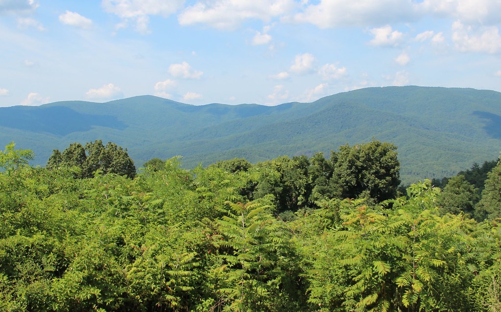 Cohutta OverlookHiking · ~16 min drivePhoto: Thomson20192, Public Domain Dedication (CC0) (via Flickr)
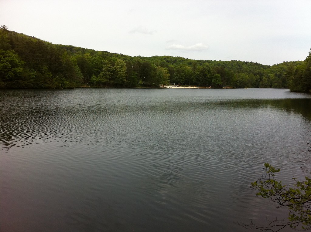 GahutiHiking · ~21 min drivePhoto: TranceMist, CC BY 2.0 (via Flickr)
 Tear BritchesHiking · ~24 min drivePhoto: ChattOconeeNF, CC BY 2.0 (via Flickr)
- Emery Creek TrailHiking · ~24 min drivePhoto: ChattOconeeNF, CC BY 2.0 (via Flickr)
 Goldmine Creek TrailHiking · ~19 min drivePhoto: TranceMist, CC BY 2.0 (via Flickr)
 Benton Mackaye TrailHiking · ~25 min drivePhoto: Thomson20192, Public Domain Dedication (CC0) (via Flickr)
- Stanley GapHiking · ~25 min drivePhoto: Thomson20192, Public Domain Dedication (CC0) (via Flickr)
- Lake TrailHiking · ~20 min drivePhoto: TranceMist, CC BY 2.0 (via Flickr)
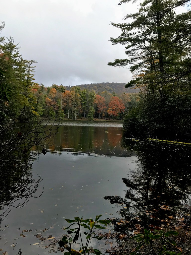 Grassy Mtn TowerHiking · ~26 min drivePhoto: ChattOconeeNF, CC BY 2.0 (via Flickr)
 Flat Creek LoopHiking · ~28 min drivePhoto: Olin Gilbert, CC BY 2.0 (via Flickr)
Best time to visit Riverside Park Trail
Best months: March–November. Best months have typical highs of 55–85 °F, lows of 30 °F or warmer (32 °F where the station doesn't record snow), at most one snowy day and no more than 12 wet days.
Jan
48° / 31°
10 wet · 1 snow
Feb
52° / 34°
9 wet
Mar
60° / 40°
10 wet
Apr
68° / 47°
9 wet
May
75° / 55°
9 wet
Jun
82° / 63°
10 wet
Jul
85° / 67°
11 wet
Aug
84° / 66°
9 wet
Sep
79° / 61°
8 wet
Oct
69° / 50°
8 wet
Nov
59° / 40°
8 wet
Dec
51° / 35°
10 wet
Typical high / low (°F) and days with rain or snow, 1991–2020. Measured at Jasper 1 Nnw, GA, 14.5 mi away at 1,465 ft. Source: NOAA NCEI U.S. Climate Normals 1991–2020.

Map and trail data © OpenStreetMap contributors
