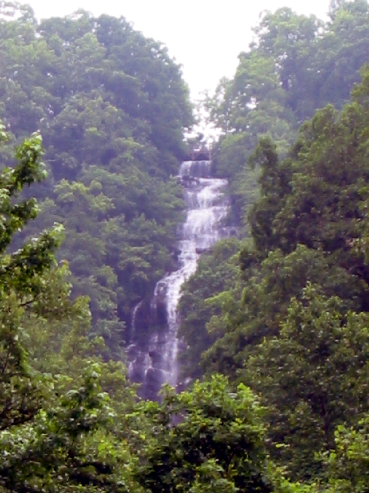
DeSoto Falls
 Photo: Thomsonmg2000, CC0 (via Wikimedia Commons)
- 2,596 ft
- elevation
- Mar–May, Aug–Nov
- best months
Is DeSoto Falls open right now?
Closure in the area
There's a closure order in Chattahoochee-Oconee National Forests. It doesn't name DeSoto Falls, so check the source for the area it covers (5 listed).
West Cowpen, FS Road 17, Road Maintenance
Agency closure covering Chattahoochee-Oconee National Forests · USFS · Chattahoochee-Oconee National Forests
Bear Creek Road, FS 241, Temporarily Closed
Agency closure covering Chattahoochee-Oconee National Forests · USFS · Chattahoochee-Oconee National Forests
Prescribed fire on Oconee Ranger District at Jasper County
Agency closure covering Chattahoochee-Oconee National Forests · USFS · Chattahoochee-Oconee National Forests
Muskrat Road, FS 218, Temporarily Closed
Agency closure covering Chattahoochee-Oconee National Forests · USFS · Chattahoochee-Oconee National Forests
Flash Flood Awareness
Agency closure covering Chattahoochee-Oconee National Forests · USFS · Chattahoochee-Oconee National Forests
As of · Source: USFS · Chattahoochee-Oconee National Forests. Agencies don't list every closure — check before you go.
DeSoto Falls is a waterfall in the Blue Ridge Ranger District of the Chattahoochee-Oconee National Forests in north Georgia, about 11 miles from the town of Helen. It sits at roughly 2,600 feet, and the surrounding area is a mix of forest and climbing country, with several trails and climbing areas within a few miles. For comfortable weather, aim for late spring or early fall. Typical averages from a nearby weather station in Blairsville show May highs around 76°F and October highs near 70°F, with September the driest month at about nine wet days. That station sits roughly 650 feet lower than the falls, so temperatures at the falls run a little cooler. The Freeman and Byron Herbert Reece hikes are both about 1.4 miles away, and the Blood Mountain climbing area is about 1.9 miles off. For an overnight stay, Lake Winfield Scott Recreation Area is about 2.2 miles away.
- Elevation
- 2,596 ft
Elevation from USGS 3D Elevation Program terrain data (about 10 m resolution).
 FreemanHikingPhoto: Pete Seabolt, CC BY 3.0 (via Wikimedia Commons)1.4 mi
- Byron Herbert ReeceHikingPhoto: Pete Seabolt, CC BY 3.0 (via Wikimedia Commons)1.4 mi
- big cheeseRock climbing1.9 mi
- Blood MountainRock climbing1.9 mi
 Lake Winfield Scott Recreation AreaCampingPhoto: Recreation.gov (RIDB) / public domain2.2 mi
- Dockery Lake Rec. AreaCamping4.3 mi
- Nottely RiverCanoeing4.4 mi
 Toccoa RiverCanoeingPhoto: Thomson200, CC0 (via Wikimedia Commons)9.6 mi
Source: Roamze catalog (indexable pages within 10 miles, PostGIS distance)
 Anna Ruby FallsWaterfall · ~21 min drivePhoto: Jsfouche, CC BY-SA 3.0 (via Wikimedia Commons)
 Toccoa FallsWaterfall · ~56 min drivePhoto: FloNight (Sydney Poore) and Russell Poore, CC BY-SA 4.0 (via Wikimedia Commons)
 Estatoah FallsWaterfall · ~1h 5m drivePhoto: Jsfouche, CC BY-SA 3.0 (via Wikimedia Commons)
 Dry FallsWaterfall · ~1h 18m drivePhoto: Zhans33, CC BY-SA 3.0 (via Wikimedia Commons)
 Isaqueena FallsWaterfall · ~1h 19m drivePhoto: Csab, Public domain (via Wikimedia Commons)
 Bridal Veil FallsWaterfall · ~1h 19m drivePhoto: Washuotaku, CC BY-SA 4.0 (via Wikimedia Commons)
 Helton Creek FallsWaterfall · ~5 min drivePhoto: Jsfouche, CC BY-SA 3.0 (via Wikimedia Commons)
 Horsetrough FallsWaterfall · ~16 min drivePhoto: Public domain (via Wikimedia Commons)
 Amicalola FallsWaterfall · ~36 min drivePhoto: Jsfouche, CC BY-SA 3.0 (via Wikimedia Commons)
 Cullasaja FallsWaterfall · ~1h 19m drivePhoto: Sdrtm at English Wikipedia, CC BY-SA 3.0 (via Wikimedia Commons)
Also worth it near here
 DeSoto Falls CampgroundCamping · ~1 min drivePhoto: Bas van Oorschot, CC BY-SA 3.0 (via Wikimedia Commons)
- FreemanHiking · ~2 min drivePhoto: Pete Seabolt, CC BY 3.0 (via Wikimedia Commons)
 Levelland MountainSummit · ~2 min drivePhoto: Thomson200, CC0 (via Wikimedia Commons)
 Tesnatee Gap TrailRock climbing · ~7 min drivePhoto: Thomsonmg2000, CC0 (via Wikimedia Commons)
Best time to visit DeSoto Falls
Best months: March–May and August–November. Best months have typical highs of 55–85 °F, lows of 30 °F or warmer (32 °F where the station doesn't record snow), at most one snowy day and no more than 12 wet days.
Jan
49° / 25°
12 wet
Feb
53° / 28°
12 wet
Mar
60° / 34°
12 wet
Apr
69° / 41°
11 wet
May
76° / 50°
12 wet
Jun
82° / 58°
13 wet
Jul
85° / 62°
13 wet
Aug
84° / 61°
12 wet
Sep
80° / 55°
9 wet
Oct
70° / 43°
10 wet
Nov
61° / 33°
10 wet
Dec
52° / 29°
12 wet
Typical high / low (°F) and days with rain or snow, 1991–2020. Measured at Blairsville Exp Stn, GA, 9.6 mi away at 1,949 ft. The station sits about 600 ft lower than this place, so expect it a little cooler here. This station doesn't record snowfall. Source: NOAA NCEI U.S. Climate Normals 1991–2020.
Closures we've recorded since August 2026
Spring 2026 Forest-wide Fire Restrictions
Chattahoochee-Oconee National Forests · Order dated April 23, 2026; seen Aug 23, 2026 → lifted Oct 13, 2026 · Forest Service
