Duncan Ridge Trail
- 12.7 mi
- round trip
- 11,292 ft
- climb
- 4,264 ft
- high point
- Out and back
- route
Is Duncan Ridge Trail open right now?
Closure in the area
There's a closure order in Chattahoochee-Oconee National Forests. It doesn't name Duncan Ridge Trail, so check the source for the area it covers (4 listed).
Road Maintenance: West Cowpen Road (FSR 17)
Agency closure covering Chattahoochee-Oconee National Forests · USFS · Chattahoochee-Oconee National Forests
Prescribed fire on Oconee Ranger District at Jasper County
Agency closure covering Chattahoochee-Oconee National Forests · USFS · Chattahoochee-Oconee National Forests
Muskrat Road, FS 218, Temporarily Closed
Agency closure covering Chattahoochee-Oconee National Forests · USFS · Chattahoochee-Oconee National Forests
Flash Flood Awareness
Agency closure covering Chattahoochee-Oconee National Forests · USFS · Chattahoochee-Oconee National Forests
Lake Winfield Scott closed except fishing pier
Agency alert covering Chattahoochee-Oconee National Forests · USFS · Chattahoochee-Oconee National Forests
As of · Source: USFS · Chattahoochee-Oconee National Forests. Agencies don't list every closure — check before you go.
Duncan Ridge Trail is a 12.7-mile out-and-back hike in Georgia's Chattahoochee-Oconee National Forests, within the Blue Ridge Ranger District and Coopers Creek Wildlife Management Area. Managed by the State Department of Natural Resources, the route climbs from about 3,260 feet to a high point of 4,264 feet, with a total elevation gain of 4,330 feet. The steepest stretch comes around mile 5.6, where the grade reaches 31 percent. The route is rated expert, and the round trip covers about 25.4 miles. With that distance and elevation, plan on a full day, and bring enough food and water for the entire outing. Fish Knob Trail lies about 3 miles away, and Cooper Creek Campground and Deep Hole Rec. Area are each roughly 3.9 miles off. For time on the water, the Toccoa River is about 6.4 miles away.
Keep exploring — more trails worth the drive
 Photo: ChattOconeeNF, CC BY 2.0 (via Flickr)
Bryant Creek Trail
~10 min drive
5.2-mile out-and-back trail in Georgia with 1,312 ft elevation gain and loss.
 Photo: schwglr, CC BY-SA 2.0 (via Flickr)
Morganton Point Lake Trail
~15 min drive
0.42-mile out-and-back hike at Morganton Point Lake Trail in Georgia
 Photo: Olin Gilbert, CC BY 2.0 (via Flickr)
Flat Creek Loop
~17 min drive
10.14-mile loop in Georgia with 1,593 ft gain and 1,745 ft loss.
Photo: Olin Gilbert, CC BY 2.0 (via Flickr)Lower Green Mountain (Connecto
~17 min drive
2.04-mile out-and-back trail in Georgia with 321 ft gain.
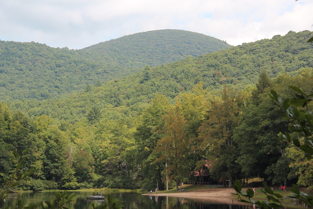 Photo: Thomson20192, Public Domain Dedication (CC0) (via Flickr)
Lake Winfield Scott
~16 min drive
0.30-mile loop trail at Lake Winfield Scott in Georgia with 564 ft elevation gain.
 Photo: Lahti213, CC BY-SA 4.0 (via Wikimedia Commons)
Toccoa Canoe Trail
~11 min drive
26.86-mile out-and-back canoe trail in Georgia with 1,071 ft elevation gain
 Photo: qvfp, CC BY 2.0 (via Flickr)
Dockery Lake
~17 min drive
5-mile out-and-back trail to Dockery Lake in Georgia.
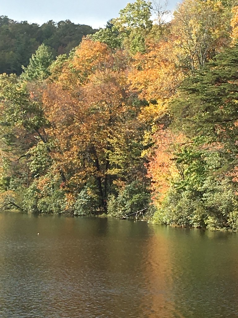 Photo: ChattOconeeNF, CC BY 2.0 (via Flickr)
Slaughter Creek Trail
~17 min drive
0.7-mile out-and-back trail in Georgia with 397 ft gain and 3,086 ft max elevation.
HIKE
Yellow Mountain
~10 min drive
6.30-mile out-and-back trail on Yellow Mountain in Georgia
 Photo: Thomson20192, Public Domain Dedication (CC0) (via Flickr)
Benton Mackaye Trail
~18 min drive
A 279.77-mile point-to-point backpacking trail through remote Georgia mountain wilderness.

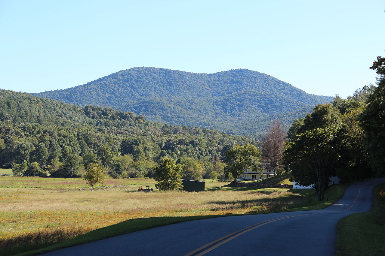
Route details
- Distance
- 12.7 mi round trip
- Climbing
- About 11,292 ft
- Summit
- 3,413 ft
- Difficulty
- Expert
- Time
- About 8 hours
Questions about this route
How long is the Duncan Ridge Trail on Payne Knob?
About 12.7 mi round trip.
How much elevation gain is on the Duncan Ridge Trail?
About 11,292 ft of climbing round trip.
How hard is the Duncan Ridge Trail?
It is rated expert.
How long does the Duncan Ridge Trail take?
About 8 hours round trip.
Conditions and forecast on Payne Knob
Daily highs and lows, wind and the chance of precipitation at the summit and route start for the next 7 days, from the Open-Meteo model.
Map and trail data © OpenStreetMap contributors
