Lake Trail
- 0.5 mi
- round trip
- 283 ft
- climb
- 1,726 ft
- high point
- Out and back
- route
- Mar–Jun, Aug–Nov
- best months
Is Lake Trail open right now?
Closure in the area
There's a closure order in Chattahoochee-Oconee National Forests. It doesn't name Lake Trail, so check the source for the area it covers (5 listed).
West Cowpen, FS Road 17, Road Maintenance
Agency closure covering Chattahoochee-Oconee National Forests · USFS · Chattahoochee-Oconee National Forests
Bear Creek Road, FS 241, Temporarily Closed
Agency closure covering Chattahoochee-Oconee National Forests · USFS · Chattahoochee-Oconee National Forests
Prescribed fire on Oconee Ranger District at Jasper County
Agency closure covering Chattahoochee-Oconee National Forests · USFS · Chattahoochee-Oconee National Forests
Muskrat Road, FS 218, Temporarily Closed
Agency closure covering Chattahoochee-Oconee National Forests · USFS · Chattahoochee-Oconee National Forests
Flash Flood Awareness
Agency closure covering Chattahoochee-Oconee National Forests · USFS · Chattahoochee-Oconee National Forests
As of · Source: USFS · Chattahoochee-Oconee National Forests. Agencies don't list every closure — check before you go.
Lake Trail is a short, easy out-and-back hike in Georgia's Unicoi State Park, within the Chattooga River Ranger District of the Chattahoochee-Oconee National Forests. The State Department of Natural Resources manages the land, and the trail starts at about 1,650 feet, rising to a high point of 1,726 feet before returning to the starting level. The climb is rolling, with the steepest stretch at about 0.24 miles in, and the total round-trip gain is 283 feet. Spring and fall are the most comfortable times to go. Typical averages from a nearby weather station in Helen show October highs around 70°F with lows near 46°F, and April is similar at about 70°F by day and 43°F at night. The station sits roughly 230 feet lower than the trail's high point, so temperatures on the trail run a little cooler. The trip takes about half an hour. The Helen Trail lies about 0.8 miles away, and the Old Gold Mine Trail is about 2.8 miles off. Dukes Creek, a river fishing spot, is about 3.3 miles away, and Raven Cliff Falls, a climbing area, is about 3.7 miles away.
Local outfitters
Not on Roamze yet. Their page has how to reach them.
- Helen TrailHiking0.8 mi
- Old Gold Mine TrailHiking2.8 mi
- Dukes CreekRiver fishing3.3 mi
- Raven Cliff FallsRock climbing3.7 mi
 Mount YonahRock climbingPhoto: Scott Long, CC BY 3.0 (via Wikimedia Commons)6 mi
- A.t. Whitley Gap ShelterCamping6.1 mi
- A.t. Low Gap ShelterCamping6.6 mi
- Nottely RiverCanoeing9.3 mi
Source: Roamze catalog (indexable pages within 10 miles, PostGIS distance)
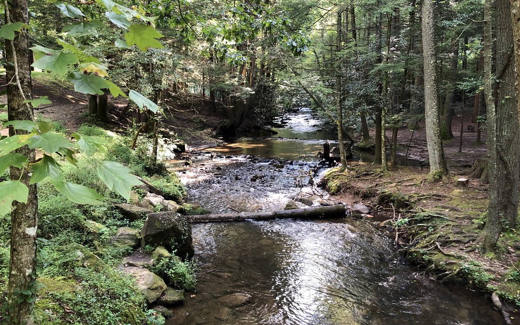 Lake TrailHiking · Next doorPhoto: gary_leavens, CC BY-SA 2.0 (via Flickr)
 Anna Ruby FallsHiking · ~5 min drivePhoto: Bas van Oorschot, CC BY-SA 3.0 (via Wikimedia Commons)
 Mount YonahHiking · ~10 min drivePhoto: twslivxe26, CC BY-SA 2.0 (via Flickr)
 Raven CliffsHiking · ~6 min drivePhoto: ChattOconeeNF, CC BY 2.0 (via Wikimedia Commons)
- Laurel Ridge TrailHiking · ~5 min drivePhoto: ChattOconeeNF, CC BY 2.0 (via Wikimedia Commons)
- Smith Creek TrailHiking · ~5 min drivePhoto: Bas van Oorschot, CC BY-SA 3.0 (via Wikimedia Commons)
- Andrews CoveHiking · ~6 min drivePhoto: Bas van Oorschot, CC BY-SA 3.0 (via Wikimedia Commons)
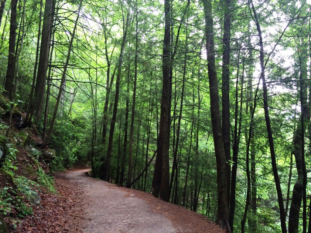 Waterfall Access TrailHiking · ~7 min drivePhoto: ChattOconeeNF, CC BY 2.0 (via Flickr)
- Deep Gap TrailHiking · ~18 min drive
 Dukes Creek FallsHiking · ~7 min drivePhoto: Bas van Oorschot, CC BY-SA 3.0 (via Wikimedia Commons)
Best time to visit Lake Trail
Best months: March–June and August–November. Best months have typical highs of 55–85 °F, lows of 30 °F or warmer (32 °F where the station doesn't record snow), at most one snowy day and no more than 12 wet days.
Jan
49° / 29°
11 wet
Feb
53° / 31°
10 wet
Mar
61° / 36°
10 wet
Apr
70° / 43°
9 wet
May
77° / 52°
10 wet
Jun
83° / 61°
12 wet
Jul
86° / 65°
12 wet
Aug
85° / 64°
11 wet
Sep
80° / 58°
8 wet
Oct
70° / 46°
8 wet
Nov
60° / 36°
8 wet
Dec
51° / 32°
11 wet
Typical high / low (°F) and days with rain or snow, 1991–2020. Measured at Helen, GA, 1.7 mi away at 1,493 ft. Source: NOAA NCEI U.S. Climate Normals 1991–2020.
Closures we've recorded since August 2026
Spring 2026 Forest-wide Fire Restrictions
Chattahoochee-Oconee National Forests · Order dated April 23, 2026; seen Aug 23, 2026 → lifted Oct 13, 2026 · Forest Service

Map and trail data © OpenStreetMap contributors
