Yellow Trail
- 1.2 mi
- loop
- 147 ft
- climb
- 829 ft
- high point
- Loop
- route
- Jul–Oct
- best months
Yellow Trail is a short, easy loop in Connecticut's Harwinton Recreation & Conservation Area, about 1.2 miles long and roughly 147 feet of elevation gain one way. The trail starts at about 704 feet and reaches a high of 829 feet before returning to a lower point of 651 feet. The steepest stretch comes at about half a mile in, with a 14% grade. Late spring and early fall are the most comfortable times to go. Typical averages from a nearby weather station in Bakersville show May highs around 69°F and September highs around 72°F, with July the warmest month at about 82°F. Several other trails sit close by. Dim Red is about 0.1 mile away, and the Blue and Green trails are each about 0.2 mile off. For climbing, Mile of Ledges is about 4.6 miles away.
Best time to go · Jul–Oct
Best time to visit Yellow Trail
Best months: July–October. Best months have typical highs of 55–85 °F, lows of 30 °F or warmer (32 °F where the station doesn't record snow), at most one snowy day and no more than 12 wet days.
Jan
33° / 15°
12 wet
Feb
37° / 16°
10 wet
Mar
45° / 23°
12 wet
Apr
58° / 33°
13 wet
May
69° / 44°
14 wet
Jun
77° / 53°
13 wet
Jul
82° / 58°
12 wet
Aug
80° / 56°
11 wet
Sep
72° / 49°
10 wet
Oct
60° / 38°
12 wet
Nov
49° / 29°
11 wet
Dec
38° / 21°
13 wet
Typical high / low (°F) and days with rain or snow, 1991–2020. Measured at Bakersville, CT, 6.1 mi away at 686 ft. This station doesn't record snowfall. Source: NOAA NCEI U.S. Climate Normals 1991–2020.
Keep exploring — more trails worth the drive
 Photo: TrevorBrightman, CC BY 3.0 (via Wikimedia Commons)
Yellow Diamond Trail
~7 min drive
2.35-mile point-to-point trail in Connecticut with 485 ft elevation gain
HIKE
Blue-Yellow Trail
~8 min drive
8.78-mile point-to-point Connecticut trail through woodland terrain.
Photo: TrevorBrightman, CC BY 3.0 (via Wikimedia Commons)White-Yellow Trail
~8 min drive
1.79-mile point-to-point trail in Connecticut with 198 ft gain.
HIKE
Fawn Pond
~12 min drive
Short point-to-point walk to Fawn Pond in Connecticut.
Photo: TrevorBrightman, CC BY 3.0 (via Wikimedia Commons)Blue-Orange Trail
~9 min drive
3.08-mile point-to-point trail in Connecticut with 438 ft elevation gain
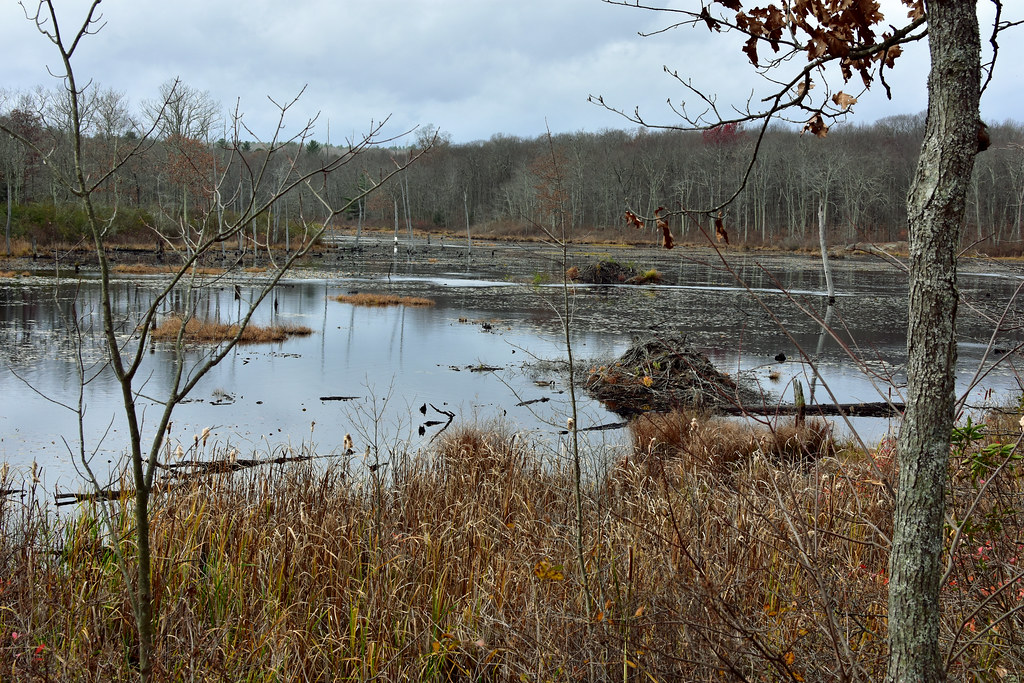 Photo: pedrik, CC BY 2.0 (via Flickr)
Crosscut Trail
~9 min drive
Brief point-to-point connector trail through Connecticut forest.
 Photo: TrevorBrightman, CC BY 3.0 (via Wikimedia Commons)
Blue-Green Trail
~10 min drive
0.63-mile point-to-point trail in Connecticut with 67 ft gain and 125 ft loss.
 Photo: pedrik, CC BY 2.0 (via Flickr)
Tree Identification Trail
~10 min drive
0.48-mile point-to-point trail in Connecticut with 29 ft gain.
 Photo: Morrowlong, CC BY-SA 4.0 (via Wikimedia Commons)
Nature Center
~11 min drive
2.52-mile point-to-point trail in Connecticut with 489 ft gain and 526 ft loss.
Photo: TrevorBrightman, CC BY 3.0 (via Wikimedia Commons)Punch Brook Trail
~11 min drive
Punch Brook Trail is a 1.54-mile point-to-point trail in Connecticut.


Map and trail data © OpenStreetMap contributors
