DEEP campsite
Campground
Campground · 6.6 mi from the trail
 Photo: TrevorBrightman, CC BY 3.0 (via Wikimedia Commons)
The White-Yellow Trail is an easy hike in Connecticut, about 0.7 miles from the community of Lamson Corner. The route is 1.8 miles long, with a total elevation gain of 146 feet, and it is a point-to-point trail rather than a loop. The trail is rated easy, and it is open to bikes. The steepest part comes at about 0.86 miles in, where the grade reaches 19 percent. The climb starts at roughly 695 feet and peaks at about 808 feet. For comfortable weather, late spring and early fall are the best bets. Typical averages from a nearby weather station in Burlington show May highs around 70°F and September highs around 75°F, with July the warmest month at about 84°F. Several other trails sit close by. The Yellow Diamond Trail is 0.8 miles away, and the Blue-Orange Trail and Blue-Green Trail are each about 1.2 miles off. Climbers can find the Burlington Fish Hatchery Boulders about 2.2 miles away.
DEEP campsite
Campground
Kyle's design
Fast food
 If it rainsDoug Kerr from Albany, NY, United States, CC BY-SA 2.0 · Wikimedia Commons
Places © OpenStreetMap contributors · Photos: Doug Kerr from Albany, NY, United States, CC BY-SA 2.0 (commons)
More in MiddletownBest months: April–October. Best months have typical highs of 55–85 °F, lows of 30 °F or warmer (32 °F where the station doesn't record snow), at most one snowy day and no more than 12 wet days.
Jan
36° / 17°
10 wet · 4 snow
Feb
39° / 18°
9 wet · 3 snow
Mar
47° / 26°
10 wet · 2 snow
Apr
59° / 36°
11 wet
May
70° / 47°
12 wet
Jun
78° / 57°
11 wet
Jul
84° / 62°
11 wet
Aug
82° / 60°
10 wet
Sep
75° / 53°
9 wet
Oct
63° / 41°
10 wet
Nov
52° / 32°
9 wet
Dec
41° / 24°
11 wet · 2 snow
Typical high / low (°F) and days with rain or snow, 1991–2020. Measured at Burlington, CT, 3.8 mi away at 505 ft. Source: NOAA NCEI U.S. Climate Normals 1991–2020.
Photo: TrevorBrightman, CC BY 3.0 (via Wikimedia Commons)Yellow Diamond Trail
~1 min drive
2.35-mile point-to-point trail in Connecticut with 485 ft elevation gain
HIKE
Blue-Yellow Trail
~4 min drive
8.78-mile point-to-point Connecticut trail through woodland terrain.
Photo: TrevorBrightman, CC BY 3.0 (via Wikimedia Commons)Blue-Orange Trail
~2 min drive
3.08-mile point-to-point trail in Connecticut with 438 ft elevation gain
 Photo: TrevorBrightman, CC BY 3.0 (via Wikimedia Commons)
Blue-Green Trail
~2 min drive
0.63-mile point-to-point trail in Connecticut with 67 ft gain and 125 ft loss.
 Photo: pedrik, CC BY 2.0 (via Flickr)
Tree Identification Trail
~3 min drive
0.48-mile point-to-point trail in Connecticut with 29 ft gain.
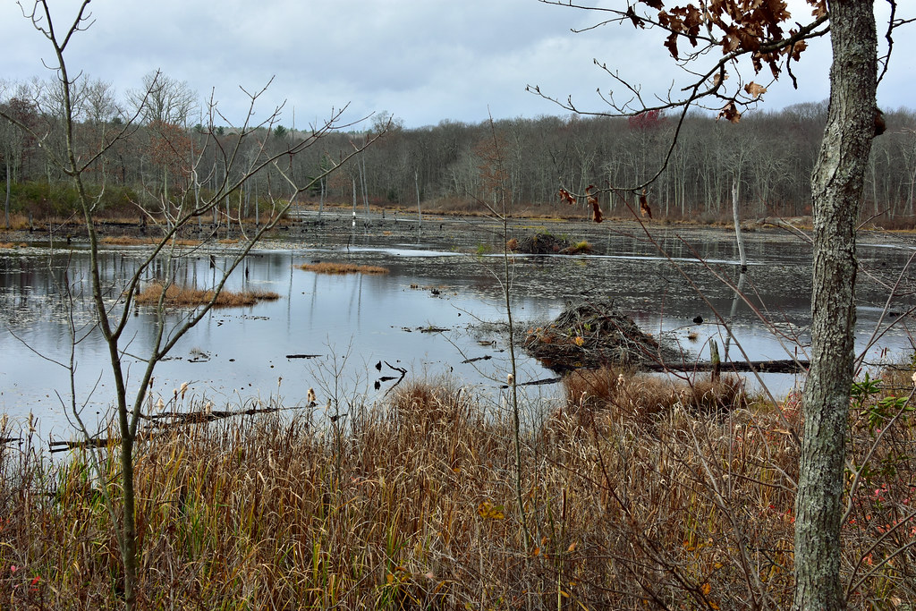 Photo: pedrik, CC BY 2.0 (via Flickr)
Crosscut Trail
~3 min drive
Brief point-to-point connector trail through Connecticut forest.
Photo: TrevorBrightman, CC BY 3.0 (via Wikimedia Commons)Tunxis Blue-Red South Trail
~3 min drive
1.10-mile point-to-point trail in Connecticut with 142 ft gain.
Photo: TrevorBrightman, CC BY 3.0 (via Wikimedia Commons)Punch Brook Trail
~3 min drive
Punch Brook Trail is a 1.54-mile point-to-point trail in Connecticut.
 Photo: Morrowlong, CC BY-SA 4.0 (via Wikimedia Commons)
Nature Center
~4 min drive
2.52-mile point-to-point trail in Connecticut with 489 ft gain and 526 ft loss.
 Photo: pedrik, CC BY-SA 2.0 (via Flickr)
Taine Mountain Road Blue Trail
~5 min drive
0.72-mile loop in Connecticut with 138 ft gain and 255 ft loss.
Map and trail data © OpenStreetMap contributors


