Yellow Diamond Trail
 Photo: TrevorBrightman, CC BY 3.0 (via Wikimedia Commons)
- 2.4 mi
- one way
- 291 ft
- climb
- 1,050 ft
- high point
- Point to point
- route
Yellow Diamond Trail is a 2.35-mile hike in Connecticut, about 0.7 miles from the community of Lamson Corner. It is a short, easy outing with a total elevation gain of 291 feet, and it works well as a quick walk or a ride on a bike, since the route is open to cyclists. The trail is a point-to-point route, and the climb is gentle. The steepest stretch comes at about 0.48 miles in, with a grade of 10 percent. The trail starts at roughly 838 feet and reaches a high point of 1,050 feet before descending to a low of 763 feet. The whole trip takes about an hour. For comfortable weather, aim for late spring or early fall. Typical averages from a nearby weather station in Burlington put May highs around 70°F and September highs around 75°F, and the station sits about 545 feet lower than the trail's high point, so temperatures on the trail run cooler. Several other trails lie close by. The White-Yellow Trail is 0.8 miles away and the Blue-Orange Trail is about a mile off. Climbers can head to Petro Cliffs, roughly 1.6 miles away, and paddlers will find the Naugatuck River about 5 miles from the trail.
Keep exploring — more trails worth the drive
Photo: TrevorBrightman, CC BY 3.0 (via Wikimedia Commons)White-Yellow Trail
~1 min drive
1.79-mile point-to-point trail in Connecticut with 198 ft gain.
HIKE
Blue-Yellow Trail
~3 min drive
8.78-mile point-to-point Connecticut trail through woodland terrain.
Photo: TrevorBrightman, CC BY 3.0 (via Wikimedia Commons)Blue-Orange Trail
~2 min drive
3.08-mile point-to-point trail in Connecticut with 438 ft elevation gain
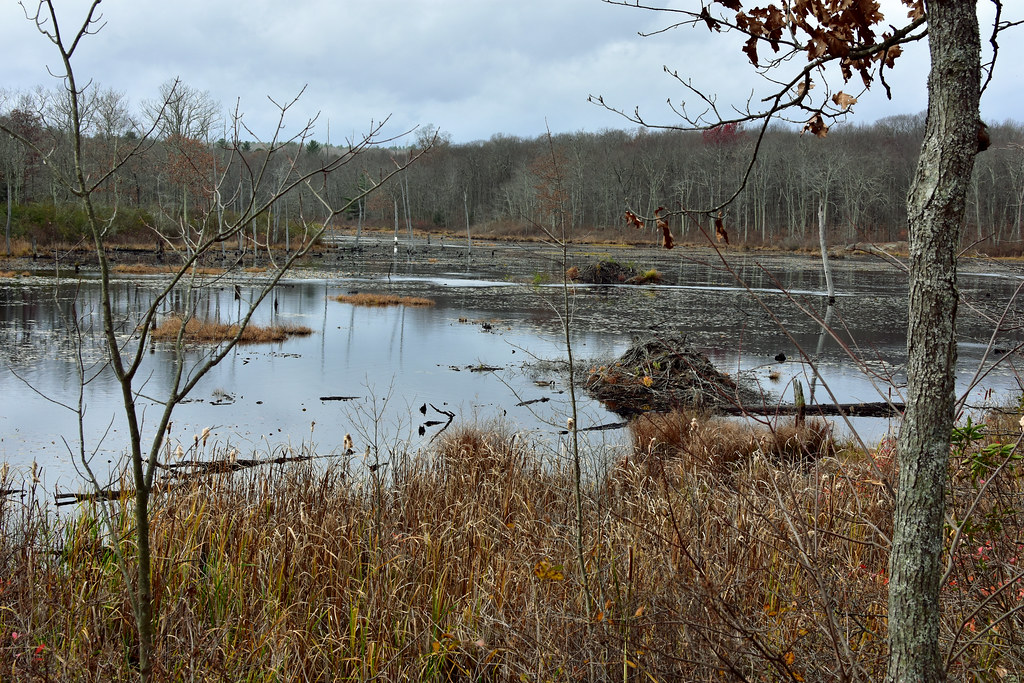 Photo: pedrik, CC BY 2.0 (via Flickr)
Crosscut Trail
~2 min drive
Brief point-to-point connector trail through Connecticut forest.
 Photo: pedrik, CC BY 2.0 (via Flickr)
Tree Identification Trail
~2 min drive
0.48-mile point-to-point trail in Connecticut with 29 ft gain.
 Photo: TrevorBrightman, CC BY 3.0 (via Wikimedia Commons)
Blue-Green Trail
~3 min drive
0.63-mile point-to-point trail in Connecticut with 67 ft gain and 125 ft loss.
 Photo: Morrowlong, CC BY-SA 4.0 (via Wikimedia Commons)
Nature Center
~4 min drive
2.52-mile point-to-point trail in Connecticut with 489 ft gain and 526 ft loss.
Photo: TrevorBrightman, CC BY 3.0 (via Wikimedia Commons)Tunxis Blue-Red South Trail
~4 min drive
1.10-mile point-to-point trail in Connecticut with 142 ft gain.
Photo: TrevorBrightman, CC BY 3.0 (via Wikimedia Commons)Punch Brook Trail
~4 min drive
Punch Brook Trail is a 1.54-mile point-to-point trail in Connecticut.
Photo: Morrowlong, CC BY-SA 4.0 (via Wikimedia Commons)Purple Trail
~5 min drive
A short point-to-point trail ideal for quick Connecticut hikes.


Map and trail data © OpenStreetMap contributors
