Blue-Orange Trail
 Photo: TrevorBrightman, CC BY 3.0 (via Wikimedia Commons)
- 3.1 mi
- one way
- 288 ft
- climb
- 850 ft
- high point
- Point to point
- route
The Blue-Orange Trail is a 3.1-mile point-to-point hike in Connecticut, about 0.6 miles from the community of Lamson Corner. It is an easy route with a total elevation gain of 288 feet, rising from a starting point of about 814 feet to a high of 850 feet before descending to a low of 668 feet. The steepest stretch comes at about 2.1 miles in, where the grade reaches 14 percent. Late spring and early fall are the most comfortable times to go. Typical averages from a nearby weather station in Burlington, which sits about 345 feet lower than the trail, show May highs around 70°F and September highs around 75°F, with July the warmest month at about 84°F. The trail makes an easy pairing with other short walks in the area. The Crosscut Trail is 0.3 miles away and the Tree Identification Trail is 0.4 miles away. Climbers can head to Petro Cliffs, about 1.7 miles off, and paddlers can reach the Naugatuck River, roughly 5.5 miles away.
Keep exploring — more trails worth the drive
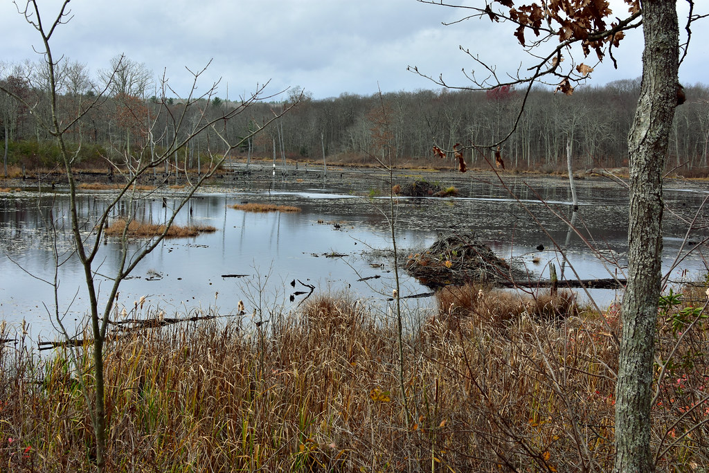 Photo: pedrik, CC BY 2.0 (via Flickr)
Crosscut Trail
Next door
Brief point-to-point connector trail through Connecticut forest.
HIKE
Blue-Yellow Trail
~3 min drive
8.78-mile point-to-point Connecticut trail through woodland terrain.
 Photo: pedrik, CC BY 2.0 (via Flickr)
Tree Identification Trail
Next door
0.48-mile point-to-point trail in Connecticut with 29 ft gain.
Photo: TrevorBrightman, CC BY 3.0 (via Wikimedia Commons)Yellow Diamond Trail
~2 min drive
2.35-mile point-to-point trail in Connecticut with 485 ft elevation gain
 Photo: Morrowlong, CC BY-SA 4.0 (via Wikimedia Commons)
Nature Center
~2 min drive
2.52-mile point-to-point trail in Connecticut with 489 ft gain and 526 ft loss.
Photo: TrevorBrightman, CC BY 3.0 (via Wikimedia Commons)White-Yellow Trail
~2 min drive
1.79-mile point-to-point trail in Connecticut with 198 ft gain.
 Photo: TrevorBrightman, CC BY 3.0 (via Wikimedia Commons)
Blue-Green Trail
~2 min drive
0.63-mile point-to-point trail in Connecticut with 67 ft gain and 125 ft loss.
Photo: TrevorBrightman, CC BY 3.0 (via Wikimedia Commons)Tunxis Blue-Red South Trail
~3 min drive
1.10-mile point-to-point trail in Connecticut with 142 ft gain.
Photo: Morrowlong, CC BY-SA 4.0 (via Wikimedia Commons)White Trail
~3 min drive
White Trail is a 0.46-mile point-to-point trail in Connecticut with 23 ft of elevation gain.
Photo: Morrowlong, CC BY-SA 4.0 (via Wikimedia Commons)Purple Trail
~3 min drive
A short point-to-point trail ideal for quick Connecticut hikes.


Map and trail data © OpenStreetMap contributors
