Camp CONNRI
Campground
Campground · 4.6 mi from the trail
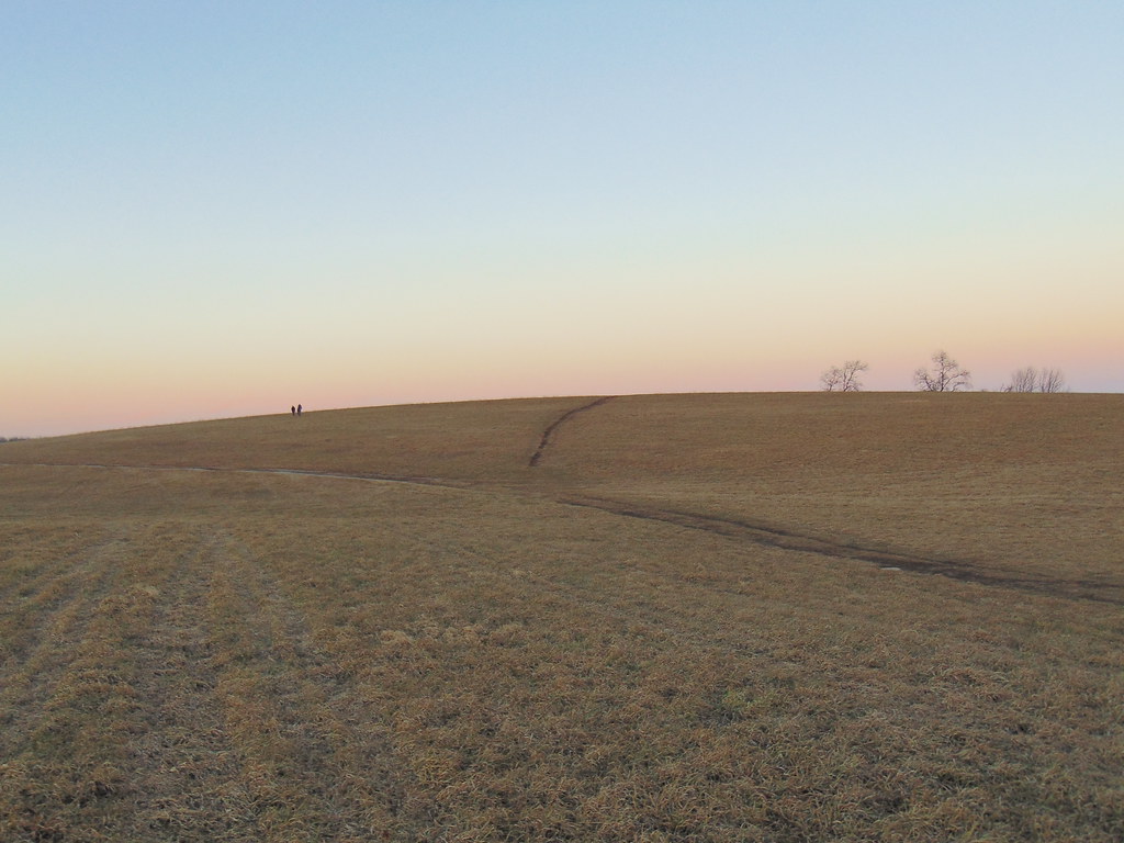
River Trail is a short, easy hike in Connecticut, about 0.4 miles long and rising just 27 feet from its low point of 510 feet to a high of 549 feet. It is a point-to-point route, and the climb is flat, with the steepest stretch at about 0.28 miles in, where the grade reaches 3 percent. The nearest town is Mansfield Four Corners, about 0.8 miles away. Summer and early fall are the most comfortable times to go. Typical averages from a nearby weather station in Storrs show July highs around 80°F and September highs near 73°F, with lows in the 50s. Winter is cold, with January highs around 35°F. The trail sits close to several other routes. Water Line Trail and Quarry Swamp Trail are each about 0.1 miles away, and North Woods Trail is about 0.2 miles off. For climbing, 50 Footer is about 3.7 miles away.
Camp CONNRI
Campground
 If it rainsRosaSeaOtter, CC0 · Wikimedia Commons
Sports museum in Connecticut, United States
Places © OpenStreetMap contributors · Photos: RosaSeaOtter, CC0 (commons)
More in Danielson Upper TierRock climbingPhoto: Marty Aligata, CC BY-SA 4.0 (via Wikimedia Commons)5.2 mi
 Hop RiverCanoeingPhoto: John Phelan, CC BY 4.0 (via Wikimedia Commons)6.4 mi
Source: Roamze catalog (indexable pages within 10 miles, PostGIS distance)
 Nipmuck TrailHiking · ~3 min drivePhoto: jjbers, CC BY 2.0 (via Flickr)
 Nipmuck Trail - West BranchHiking · ~6 min drivePhoto: wolfsavard, CC BY 2.0 (via Flickr)
 Lynch's Landing TrailsHiking · ~3 min drivePhoto: jjbers, CC BY 2.0 (via Flickr)Williams Preserve LoopHiking · ~4 min drivePhoto: jjbers, CC BY 2.0 (via Flickr)Road Runner TrailHiking · ~7 min drivePhoto: wolfsavard, CC BY 2.0 (via Flickr)Tamarack TrailHiking · ~7 min drivePhoto: wolfsavard, CC BY 2.0 (via Flickr)
 Fenton River TraiHiking · ~9 min drivePhoto: jjbers, CC BY 2.0 (via Flickr)Yellow TrailHiking · ~9 min drivePhoto: jjbers, CC BY 2.0 (via Flickr)
Best months: April and June–October. Best months have typical highs of 55–85 °F, lows of 30 °F or warmer (32 °F where the station doesn't record snow), at most one snowy day and no more than 12 wet days.
Jan
35° / 19°
10 wet
Feb
37° / 20°
9 wet
Mar
45° / 28°
10 wet
Apr
57° / 38°
11 wet
May
68° / 48°
13 wet
Jun
76° / 57°
11 wet
Jul
80° / 63°
10 wet
Aug
79° / 61°
9 wet
Sep
73° / 54°
9 wet
Oct
61° / 43°
10 wet
Nov
50° / 34°
9 wet
Dec
40° / 25°
10 wet
Typical high / low (°F) and days with rain or snow, 1991–2020. Measured at Storrs, CT, 2.9 mi away at 665 ft. This station doesn't record snowfall. Source: NOAA NCEI U.S. Climate Normals 1991–2020.
Map and trail data © OpenStreetMap contributors
