Holiday Hill Day Camp and Recreation Center
Campground
Campground · 0.6 mi from the trail
 Photo: wolfsavard, CC BY 2.0 (via Flickr)
Tamarack Trail is a short, easy loop in Connecticut, about half a mile long and roughly 0.9 miles from the town of Spring Hill. The trail is nearly flat, with a high point of 408 feet and a low of 370 feet, and it has no elevation gain. The steepest stretch comes early on, at about 0.18 miles in, with a grade of 4 percent. Summer is the most comfortable time to go. Typical averages from a nearby weather station in Storrs run to highs around 80°F in July, with September still near 73°F. That station sits about 257 feet higher than the trail, so temperatures on the trail run a little warmer. The trail makes an easy addition to a longer outing. Juniper Trail, Road Runner Trail and Barrows Trail all lie about 0.2 miles away. Climbers can find the 50 Footer area about a mile off.
Holiday Hill Day Camp and Recreation Center
Campground
Lion's Food Resturaunt
Fast food
 If it rainsMichael Rodriguez, CC BY-SA 4.0 · Wikimedia Commons
Places © OpenStreetMap contributors · Photos: Michael Rodriguez, CC BY-SA 4.0 (commons)
More in DanielsonBest months: April and June–October. Best months have typical highs of 55–85 °F, lows of 30 °F or warmer (32 °F where the station doesn't record snow), at most one snowy day and no more than 12 wet days.
Jan
35° / 19°
10 wet
Feb
37° / 20°
9 wet
Mar
45° / 28°
10 wet
Apr
57° / 38°
11 wet
May
68° / 48°
13 wet
Jun
76° / 57°
11 wet
Jul
80° / 63°
10 wet
Aug
79° / 61°
9 wet
Sep
73° / 54°
9 wet
Oct
61° / 43°
10 wet
Nov
50° / 34°
9 wet
Dec
40° / 25°
10 wet
Typical high / low (°F) and days with rain or snow, 1991–2020. Measured at Storrs, CT, 1.4 mi away at 665 ft. This station doesn't record snowfall. Source: NOAA NCEI U.S. Climate Normals 1991–2020.
Photo: wolfsavard, CC BY 2.0 (via Flickr)Road Runner Trail
Next door
0.48-mile point-to-point trail in Connecticut with 142 ft of elevation gain
Photo: wolfsavard, CC BY 2.0 (via Flickr)Nipmuck Trail - West Branch
~2 min drive
5.19-mile point-to-point trail in Connecticut with 693 ft gain.
 Photo: jjbers, CC BY 2.0 (via Flickr)
Fenton River Trai
~2 min drive
1.44-mile point-to-point trail in Connecticut with 475 ft gain
 Photo: U.S. Army Corps of Engineers, photographer not specified or unknown, Public domain (via Wikimedia Commons)
Sunset Trail
~5 min drive
3.06-mile out-and-back hike in Connecticut with 1,191 ft elevation gain
Photo: jjbers, CC BY 2.0 (via Flickr)Yellow Trail
~3 min drive
Short point-to-point trail under a mile in Connecticut.
HIKE
Nipmuck Trail - East Branch
~2 min drive
A 5.56-mile point-to-point forest hike through Connecticut's Nipmuck region.
 Photo: Morrow Long, CC BY-SA 2.0 (via Wikimedia Commons)
Yellow Trail
~4 min drive
2.28-mile out-and-back hike in Connecticut with 767 ft elevation gain
Photo: U.S. Army Corps of Engineers, photographer not specified or unknown, Public domain (via Wikimedia Commons)Flood Levee Trail
~4 min drive
2.82-mile out-and-back trail in Connecticut with 359 ft elevation gain/loss
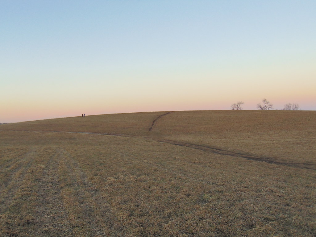 Photo: jjbers, CC BY 2.0 (via Flickr)
Nipmuck Trail
~7 min drive
A 28.52-mile point-to-point Connecticut trail through forested terrain.
 Photo: jjbers, CC BY 2.0 (via Flickr)
Williams Preserve Loop
~8 min drive
Williams Preserve Loop is a 1.04-mile point-to-point trail in Connecticut with 51 feet of elevation gain.
Map and trail data © OpenStreetMap contributors

