Mount Zirkel
 Photo: TomKonrad, CC BY-SA 4.0 (via Wikimedia Commons)
- 12,174 ft
- summit
- Forest Service
- managed by
Is Mount Zirkel open right now?
Alert in the area
The Forest Service lists 3 alerts for Medicine Bow-Routt National Forest.
Access Impact: Big Creek Lakes Dam Project
Agency alert covering Medicine Bow-Routt National Forest · USFS · Medicine Bow-Routt National Forest
Trail & Access Impact: Stillwater Reservoir Project
Agency alert covering Medicine Bow-Routt National Forest · USFS · Medicine Bow-Routt National Forest
Snowy Range - 2026 Active Vegetation Operations
Agency alert covering Medicine Bow-Routt National Forest · USFS · Medicine Bow-Routt National Forest
As of · Source: USFS · Medicine Bow-Routt National Forest. Agencies don't list every closure — check before you go.
Mount Zirkel is a summit in Jackson County, Colorado, inside the Mount Zirkel Wilderness on the Medicine Bow-Routt National Forest. It falls within the Parks Ranger District, and the Forest Service manages the land. Walden is the nearest town, about 21 miles away. Mica Basin, a climbing area, lies about a mile away, and the Red Dirt Pass and Gold Creek Lake hikes are within a few miles. For an overnight base, Seedhouse Guard Station is about 7 miles off.
Conditions and forecast
Daily highs and lows, wind and the chance of precipitation at the summit for the next 7 days, from the Open-Meteo model.
- Summit elevation
- 12,174 ft
- Land manager
- Forest Service
Elevation from USGS 3D Elevation Program terrain data (about 10 m resolution).
We don't know of a mapped trail or route to the summit of Mount Zirkel. Plan the approach with local maps, a guidebook or a local guide, and check conditions before you go.
Questions about Mount Zirkel
How tall is Mount Zirkel?
12,174 ft (3,711 m).
Is there a trail to the top of Mount Zirkel?
We don't know of a mapped trail or route to the summit. Plan the approach with local maps, a guidebook or a local guide.
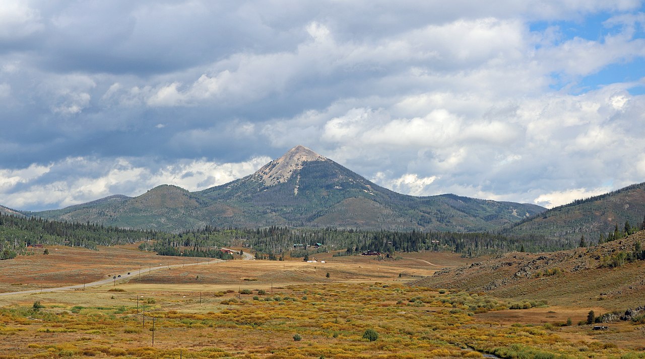 Hahns Peak10,845 ft · Colorado1 route14 mi awayPhoto: Jeffrey Beall, CC BY 4.0 (via Wikimedia Commons)
- Soda Mountain10,811 ft · Colorado1 route20 mi away
- Sand Mountain10,851 ft · Colorado1 route21 mi away
- Buffalo Mountain10,390 ft · Colorado1 route22 mi away
- Howelsen Hill7,173 ft · Colorado2 routes26 mi away
 Mount Werner10,573 ft · Colorado1 route26 mi awayPhoto: Jeffrey Beall, CC BY 4.0 (via Wikimedia Commons)
- Mica BasinRock climbing1.2 mi
- Red Dirt PassHiking2.4 mi
 Gold Creek LakeHikingPhoto: brewbooks, CC BY-SA 2.0 (via Flickr)3.3 mi
- North Fork Elk CreekCanoeing5 mi
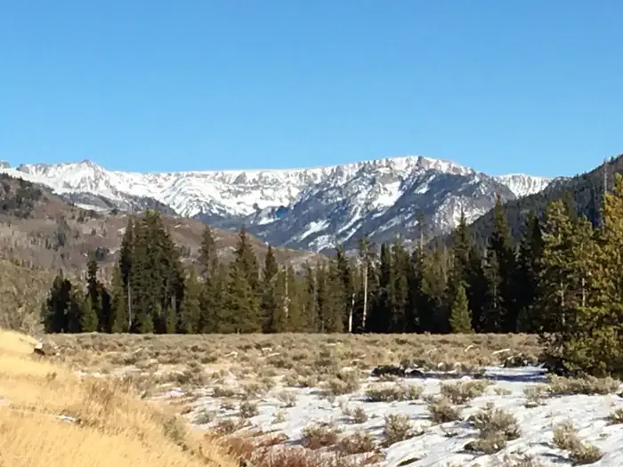 Seedhouse Group Site - Medicine-Bow Routt NF (CO)CampingPhoto: Recreation.gov (RIDB) / public domain5.4 mi
- Seedhouse Guard StationCamping6.9 mi
- Big Creek Lake Boat AccessLake fishing7.7 mi
- Mt. Zirkel WildernessRock climbing7.8 mi
Source: Roamze catalog (indexable pages within 10 miles, PostGIS distance)
 Elk MountainSummit · ~41 min drivePhoto: Jeffrey Beall, CC BY 4.0 (via Wikimedia Commons)
- Mount WernerSummit · ~45 min drivePhoto: Jeffrey Beall, CC BY 4.0 (via Wikimedia Commons)
 Baker MountainSummit · ~54 min drivePhoto: Bob Denaro, CC BY 2.0 (via Wikimedia Commons)
 Whiteley PeakSummit · ~1h 3m drivePhoto: Jeffrey Beall, CC BY 4.0 (via Wikimedia Commons)
 Clark PeakSummit · ~1h 11m drivePhoto: Thomson200, CC0 (via Wikimedia Commons)
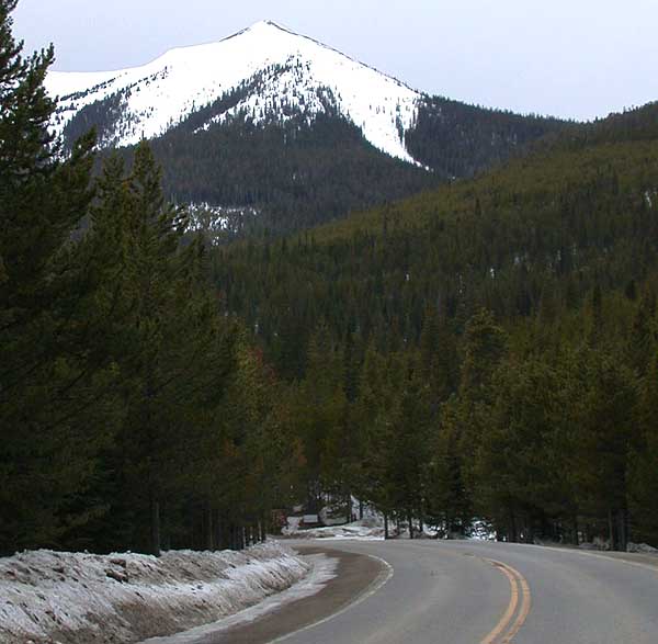 Parkview MountainSummit · ~1h 16m drivePhoto: Matthew Trump, CC BY-SA 3.0 (via Wikimedia Commons)
 Radial MountainSummit · ~1h 18m drivePhoto: Trellbailey, CC BY-SA 4.0 (via Wikimedia Commons)
 Static PeakSummit · ~1h 21m drivePhoto: Thomson200, CC0 (via Wikimedia Commons)
 Mount RichthofenSummit · ~1h 21m drivePhoto: Thomson200, CC0 (via Wikimedia Commons)
 Iron MountainSummit · ~1h 23m drivePhoto: Thomson200, CC0 (via Wikimedia Commons)
