North Fork Elk Creek
- 11.1 mi
- distance
- 9,046 ft
- high point
- Jun–Aug
- best months
Is North Fork Elk Creek open right now?
Closure in the area
There's a closure order in Hahns Peak-Bears Ears Ranger District. It doesn't name North Fork Elk Creek, so check the source for the area it covers.
Area Closure for the Fishhook Fire - Routt National Forest
Agency closure covering Hahns Peak-Bears Ears Ranger District · Order 02-06-03-26-222 · USFS · Hahns Peak-Bears Ears Ranger District
Access Impact: Big Creek Lakes Dam Project
Agency alert covering Medicine Bow-Routt National Forest · USFS · Medicine Bow-Routt National Forest
Trail & Access Impact: Stillwater Reservoir Project
Agency alert covering Medicine Bow-Routt National Forest · USFS · Medicine Bow-Routt National Forest
Snowy Range - 2026 Active Vegetation Operations
Agency alert covering Medicine Bow-Routt National Forest · USFS · Medicine Bow-Routt National Forest
As of · Source: USFS · Hahns Peak-Bears Ears Ranger District. Agencies don't list every closure — check before you go.
North Fork Elk Creek is an 11-mile paddling stretch near Clark, Colorado, in the Hahns Peak-Bears Ears Ranger District of Medicine Bow-Routt National Forest. The land along its banks is managed by the U.S. Forest Service. The creek flows year-round, with an average flow of about 95 cfs. It drops roughly 99 feet per mile, a steep gradient for a stretch of this length. Summer is the warmest time to go. July typically averages highs around 76°F and lows near 38°F at the nearest weather station in Walden, which sits about 990 feet lower than the creek, so temperatures on the water run cooler. Main Fork Trail is about 2 miles away. Seedhouse Guard Station and Seedhouse Campground both lie within about 4 miles, and South Fork Elk River offers more paddling about 6 miles off.
Local outfitters
- Backdoor Sports24 mi away
Not on Roamze yet. Their page has how to reach them.
- Main Fork TrailHiking1.9 mi
- Seedhouse Guard StationCamping3.7 mi
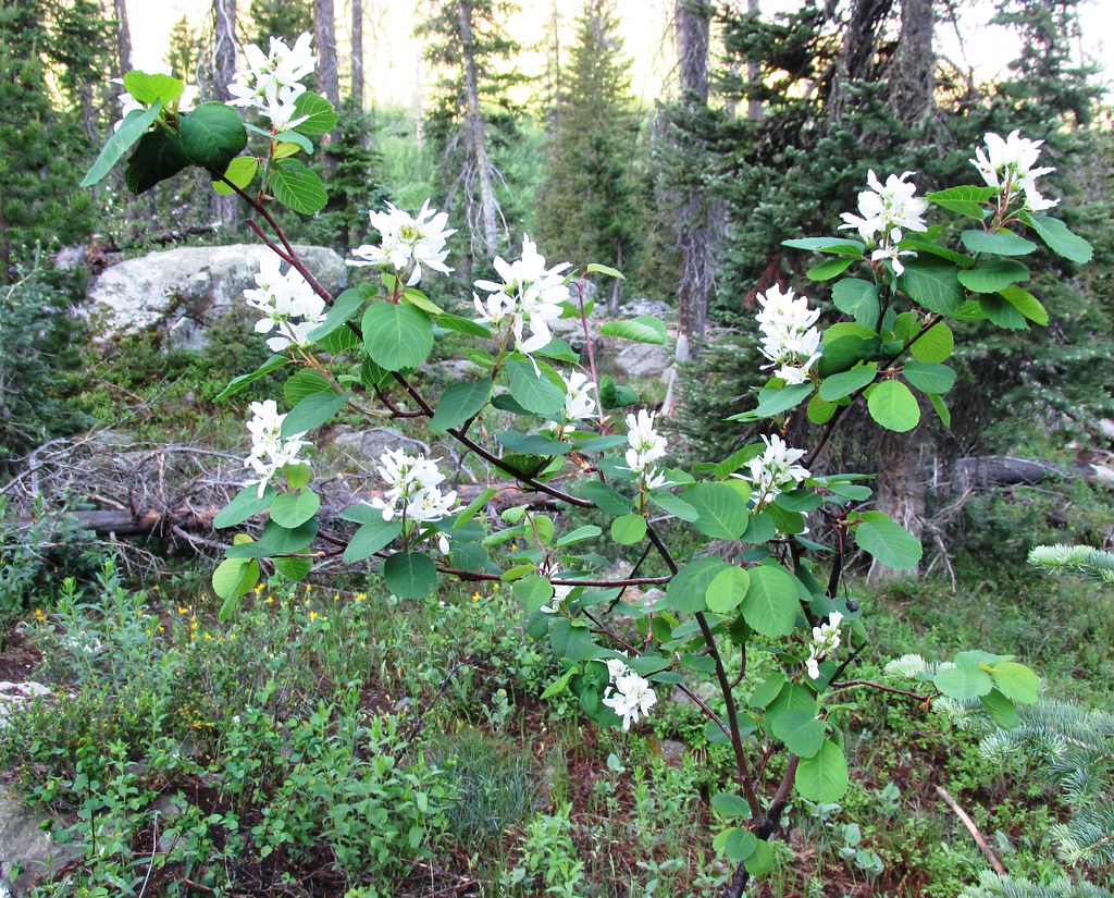 GilpinHikingPhoto: brewbooks, CC BY-SA 2.0 (via Flickr)3.8 mi
- Mica BasinRock climbing3.8 mi
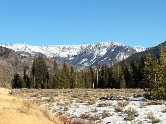 Seedhouse CampgroundCampingPhoto: Recreation.gov (RIDB) / public domain3.9 mi
- Mt. Zirkel WildernessRock climbing4.5 mi
 South Fork Elk RiverCanoeingPhoto: Jeffrey Beall, CC BY 4.0 (via Wikimedia Commons)6 mi
- West Fork Encampment RiverCanoeing8.2 mi
Source: Roamze catalog (indexable pages within 10 miles, PostGIS distance)
- South Fork Elk RiverCanoeing · ~10 min drivePhoto: Jeffrey Beall, CC BY 4.0 (via Wikimedia Commons)
- Seedhouse CampgroundFloat trip · ~7 min drive
- Routt Access TrailheadBoat launch · ~40 min drive
- Encampment RiverCanoeing · ~16 min drive
- Cowdrey Lake Rec Site Boat RampBoat launch · ~40 min drive
- Willow CreekCanoeing · ~17 min drive
- Lake View Picnic Site Boating SiteBoat launch · ~25 min drive
- King Solomon CreekCanoeing · ~18 min drive
- Big CreekCanoeing · ~21 min drive
- Middle Fork Little Snake RiverCanoeing · ~22 min drive
Best time to visit North Fork Elk Creek
Best months: June–August. Best months have typical highs of 55–85 °F, lows of 30 °F or warmer (32 °F where the station doesn't record snow), at most one snowy day and no more than 12 wet days.
Jan
27° / 2°
8 wet
Feb
30° / 4°
8 wet
Mar
39° / 13°
8 wet
Apr
47° / 20°
9 wet
May
58° / 28°
10 wet
Jun
69° / 34°
9 wet
Jul
76° / 38°
10 wet
Aug
74° / 36°
10 wet
Sep
66° / 29°
8 wet
Oct
53° / 21°
7 wet
Nov
38° / 12°
8 wet
Dec
28° / 3°
8 wet
Typical high / low (°F) and days with rain or snow, 1991–2020. Measured at Walden, CO, 25.8 mi away at 8,056 ft. The station sits about 1,000 ft lower than this place, so expect it a little cooler here. This station doesn't record snowfall. Source: NOAA NCEI U.S. Climate Normals 1991–2020.
