Crags Campground
Campground
Campground · 2.0 mi from the trail
 Photo: Thomson200, CC0 (via Wikimedia Commons)
Alert in the area
The Forest Service lists 4 alerts for Canyon Lakes Ranger District.
Salt Cabin Prescribed (RX) Fire Closure
Agency alert covering Canyon Lakes Ranger District · Order 02-10-05-26-11 · USFS · Canyon Lakes Ranger District
Fire Restrictions
Agency alert covering Arapaho and Roosevelt National Forests · USFS · Arapaho and Roosevelt National Forests
West Crystal A - Mechanical Fuelbreak Area and Road Closure
Agency alert covering Canyon Lakes Ranger District · Order 02-10-05-26-04 · USFS · Canyon Lakes Ranger District
Cameron Peak Fire Road Closures
Agency alert covering Canyon Lakes Ranger District · Order 02-10-05-26-01 · USFS · Canyon Lakes Ranger District
As of · Source: USFS · Canyon Lakes Ranger District. Agencies don't list every closure — check before you go.
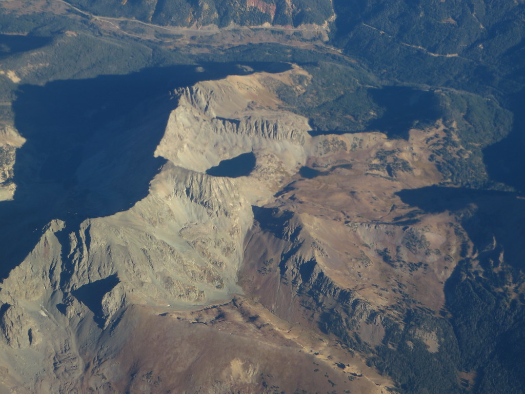
Iron Mountain is a summit of about 12,261 feet in Larimer County, Colorado, within the Canyon Lakes Ranger District of the Arapaho and Roosevelt National Forests. The land is managed by State Fish and Wildlife, and the nearest town is Grand Lake, about 18 miles away. Trap Park Trail lies about 1.4 miles away, and Thunder Pass is about 2.2 miles off. For an overnight base, Grandview Campground is about 2.6 miles away and Long Draw Campground about 4.5 miles.
Crags Campground
Campground
Trail Ridge Cafe
Restaurant
Almost East Gemstone Peak
Viewpoint
Places © OpenStreetMap contributors
More in Estes ParkDaily highs and lows, wind and the chance of precipitation at the summit for the next 7 days, from the Open-Meteo model.
Elevation from USGS 3D Elevation Program terrain data (about 10 m resolution).
We don't know of a mapped trail or route to the summit of Iron Mountain. Plan the approach with local maps, a guidebook or a local guide, and check conditions before you go.
12,261 ft (3,737 m).
We don't know of a mapped trail or route to the summit. Plan the approach with local maps, a guidebook or a local guide.


 Thunder PassHikingPhoto: Ken Lund, CC BY-SA 2.0 (via Flickr)2.2 mi
Source: Roamze catalog (indexable pages within 10 miles, PostGIS distance)
 Static PeakSummit · ~5 min drivePhoto: Thomson200, CC0 (via Wikimedia Commons)
 Mount RichthofenSummit · ~6 min drivePhoto: Thomson200, CC0 (via Wikimedia Commons)
 Specimen MountainSummit · ~8 min drivePhoto: Thomson200, CC0 (via Wikimedia Commons)
 Howard MountainSummit · ~10 min drivePhoto: KimonBerlin, CC BY-SA 2.5 (via Wikimedia Commons)
 Mount CumulusSummit · ~12 min drivePhoto: mark byzewski, CC BY 2.0 (via Wikimedia Commons)
 Clark PeakSummit · ~14 min drivePhoto: Thomson200, CC0 (via Wikimedia Commons)
 Green KnollSummit · ~15 min drivePhoto: mark byzewski, CC BY 2.0 (via Wikimedia Commons)Mount ChiquitaSummit · ~17 min drivePhoto: Rationalobserver, CC BY-SA 4.0 (via Wikimedia Commons)Ypsilon MountainSummit · ~17 min drivePhoto: James St. John, CC BY 2.0 (via Wikimedia Commons)Mount IdaSummit · ~17 min drivePhoto: Paul Hermans, CC BY-SA 3.0 (via Wikimedia Commons)
