Buffalo Mountain
- 10,390 ft
- summit
- 1
- way up
- Jun–Aug
- best months
Is Buffalo Mountain open right now?
Closure in the area
There's a closure order in Hahns Peak-Bears Ears Ranger District. It doesn't name Buffalo Mountain, so check the source for the area it covers.
Area Closure for the Fishhook Fire - Routt National Forest
Agency closure covering Hahns Peak-Bears Ears Ranger District · Order 02-06-03-26-222 · USFS · Hahns Peak-Bears Ears Ranger District
Access Impact: Big Creek Lakes Dam Project
Agency alert covering Medicine Bow-Routt National Forest · USFS · Medicine Bow-Routt National Forest
Trail & Access Impact: Stillwater Reservoir Project
Agency alert covering Medicine Bow-Routt National Forest · USFS · Medicine Bow-Routt National Forest
Snowy Range - 2026 Active Vegetation Operations
Agency alert covering Medicine Bow-Routt National Forest · USFS · Medicine Bow-Routt National Forest
As of · Source: USFS · Hahns Peak-Bears Ears Ranger District. Agencies don't list every closure — check before you go.
Buffalo Mountain is a summit of 10,390 feet in the Hahns Peak-Bears Ears Ranger District of Medicine Bow-Routt National Forest in northwest Colorado, about 5 miles from Steamboat Springs. Summer is the most comfortable time to go. Typical averages from a nearby weather station at 9,000 feet show July highs around 73°F with lows near 40°F, and the summit sits higher, so expect it to run a little cooler. The G.E.M. Trail starts about half a mile away, and the Flash of Gold Trail is under a mile off. For an overnight base, Granite Campground is about 2.6 miles away, and climbers can head to Blob Rock, about 2.7 miles away.
Conditions and forecast
Daily highs and lows, wind and the chance of precipitation at the summit and route start for the next 7 days, from the Open-Meteo model.
- Summit elevation
- 10,390 ft
Elevation from USGS 3D Elevation Program terrain data (about 10 m resolution).
Map © Mapbox © OpenStreetMap contributors Hazards
- Wildlife encounters
- Sudden weather changes
- Rocky terrain
Season
Trail may have snow and ice in winter months; wildflowers bloom in late spring and early summer
Questions about Buffalo Mountain
How tall is Buffalo Mountain?
10,390 ft (3,167 m).
How many routes go to the summit of Buffalo Mountain?
One: G.E.M. Trail.
When is the best time to climb Buffalo Mountain?
Spring, summer, fall.
- Soda Mountain10,811 ft · Colorado1 route2.9 mi away
 Mount Werner10,573 ft · Colorado1 route3.9 mi awayPhoto: Jeffrey Beall, CC BY 4.0 (via Wikimedia Commons)
- Howelsen Hill7,173 ft · Colorado2 routes5.9 mi away
- Sand Mountain10,851 ft · Colorado1 route23 mi away
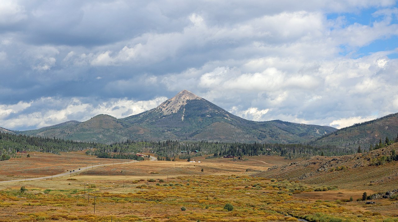 Hahns Peak10,845 ft · Colorado1 route25 mi awayPhoto: Jeffrey Beall, CC BY 4.0 (via Wikimedia Commons)
- Searight Mountain10,746 ft · Colorado1 route38 mi away
- G.E.M. TrailHiking0.5 mi
- Flash of Gold TrailHiking0.7 mi
- Granite CampgroundCamping2.6 mi
- Wax MuseumRock climbing2.7 mi
- Blob RockRock climbing2.7 mi
- Dry Lake CampgroundCamping2.9 mi
- Soda CreekCanoeing3.1 mi
- South Fork Mad CreekCanoeing7.1 mi
Source: Roamze catalog (indexable pages within 10 miles, PostGIS distance)
- Mount WernerSummit · ~7 min drivePhoto: Jeffrey Beall, CC BY 4.0 (via Wikimedia Commons)
 Baker MountainSummit · ~20 min drivePhoto: Bob Denaro, CC BY 2.0 (via Wikimedia Commons)
 Elk MountainSummit · ~22 min drivePhoto: Jeffrey Beall, CC BY 4.0 (via Wikimedia Commons)
 Whiteley PeakSummit · ~32 min drivePhoto: Jeffrey Beall, CC BY 4.0 (via Wikimedia Commons)
 Mount ZirkelSummit · ~38 min drivePhoto: TomKonrad, CC BY-SA 4.0 (via Wikimedia Commons)
- Hahns PeakSummit · ~43 min drivePhoto: Jeffrey Beall, CC BY 4.0 (via Wikimedia Commons)
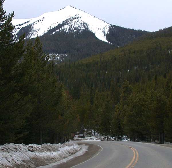 Parkview MountainSummit · ~58 min drivePhoto: Matthew Trump, CC BY-SA 3.0 (via Wikimedia Commons)
 Radial MountainSummit · ~1h 4m drivePhoto: Trellbailey, CC BY-SA 4.0 (via Wikimedia Commons)
 Flat Top MountainSummit · ~1h 7m drivePhoto: John Holm from Leadville, CO, USA, CC BY 2.0 (via Wikimedia Commons)
 Parika PeakSummit · ~1h 13m drivePhoto: mark byzewski, CC BY 2.0 (via Wikimedia Commons)
Best time to visit Buffalo Mountain
Best months: June–August. Best months have typical highs of 55–85 °F, lows of 30 °F or warmer (32 °F where the station doesn't record snow), at most one snowy day and no more than 12 wet days.
Jan
29° / 3°
11 wet
Feb
30° / 5°
11 wet
Mar
38° / 12°
10 wet
Apr
45° / 20°
10 wet
May
55° / 27°
9 wet
Jun
67° / 33°
8 wet
Jul
73° / 40°
10 wet
Aug
72° / 38°
11 wet
Sep
64° / 31°
9 wet
Oct
51° / 22°
8 wet
Nov
38° / 12°
10 wet
Dec
30° / 4°
12 wet
Typical high / low (°F) and days with rain or snow, 1991–2020. Measured at Gould 4se Sfsp, CO, 38.5 mi away at 9,000 ft. The station sits about 1,400 ft lower than this place, so expect it a little cooler here. This station doesn't record snowfall. Source: NOAA NCEI U.S. Climate Normals 1991–2020.

