Powerline
 Photo: Nick Taylor, CC BY-SA 2.0 (via Wikimedia Commons)
- 0.1 mi
- distance
- 33 ft
- climb
- 8,937 ft
- high point
- Hard
- difficulty
- Jun–Aug
- best months
Is Powerline open right now?
Road closed
Gunnison County Road 12: road closure is listed as closed by CDOT 511.
Gunnison County Road 12: road closure
Closed · ~0.6 km from Powerline · CDOT 511
Gold Mountain Wildfire Roads and Trails Closure Order v 4.0
Agency closure covering Grand Mesa, Uncompahgre and Gunnison National Forests · USFS · Grand Mesa, Uncompahgre and Gunnison National Forests
Ophir Pass Road Closure
Agency closure covering Grand Mesa, Uncompahgre and Gunnison National Forests · USFS · Grand Mesa, Uncompahgre and Gunnison National Forests
TERMINATION OF ORDER - FIRE RESTRICTIONS
Agency alert covering Grand Mesa, Uncompahgre and Gunnison National Forests · USFS · Grand Mesa, Uncompahgre and Gunnison National Forests
Dallas Area Closure order
Agency alert covering Grand Mesa, Uncompahgre and Gunnison National Forests · USFS · Grand Mesa, Uncompahgre and Gunnison National Forests
As of · Source: CDOT 511. Agencies don't list every closure — check before you go.
Powerline is a cross-country ski route in Colorado's Gunnison Ranger District, part of the Grand Mesa, Uncompahgre and Gunnison National Forests. It is a short, hard route of about 0.14 miles, with a total elevation gain of 33 feet and a total loss of 38 feet. The climb is steepest at about 0.07 miles, with a grade of 3 percent. The route sits at about 8,900 feet, with the high point at 8,937 feet and the low at 8,880 feet. It is a short, steep stretch rather than a long climb, and the start sits at 8,934 feet. Winter is the natural season for cross-country skiing here. Typical averages from the nearby Crested Butte weather station show January highs around 26°F with lows near -7°F, while June runs about 70°F by day and 34°F at night. The station sits at a similar elevation to the route. Pooch's Paradise, another cross-country ski route, is about 0.1 miles away, and Woods Walk Conn. is a mountain biking route at the same distance. The Slate River, about a mile off, offers canoeing, and Crested Butte RV Resort is about 3 miles away for camping.
Local outfitters
- SUP Marble17 mi away
Not on Roamze yet. Their page has how to reach them.
Best time to go · Jun–Aug
Best time to visit Powerline
Best months: June–August. Best months have typical highs of 55–85 °F, lows of 30 °F or warmer (32 °F where the station doesn't record snow), at most one snowy day and no more than 12 wet days.
Jan
26° / -7°
12 wet
Feb
29° / -2°
11 wet
Mar
38° / 7°
10 wet
Apr
47° / 19°
9 wet
May
58° / 28°
8 wet
Jun
70° / 34°
7 wet
Jul
76° / 40°
10 wet
Aug
74° / 38°
12 wet
Sep
66° / 31°
9 wet
Oct
54° / 22°
8 wet
Nov
39° / 9°
9 wet
Dec
27° / -4°
11 wet
Typical high / low (°F) and days with rain or snow, 1991–2020. Measured at Crested Butte, CO, 0.9 mi away at 8,867 ft. This station doesn't record snowfall. Source: NOAA NCEI U.S. Climate Normals 1991–2020.
Keep exploring — more snow worth the drive
Photo: Nick Taylor, CC BY-SA 2.0 (via Wikimedia Commons)Pooch'S Paradise
Next door
Beginner-friendly 1.82-mile Colorado ski trail perfect for families and new skiers.
 Photo: www.Pixel.la Free Stock Photos, CC0 (via Wikimedia Commons)
Inner Magic Meadows 3
~2 min drive
0.49-mile route in Colorado with 74 feet of elevation gain.
 Photo: Helimedic39, CC BY-SA 3.0 (via Wikimedia Commons)
Teocalli
~2 min drive
0.69-mile cross-country ski trail in Colorado with 25 ft of elevation gain.
Photo: www.Pixel.la Free Stock Photos, CC0 (via Wikimedia Commons)Paradise Park
~3 min drive
0.75-mile cross-country ski trail in Colorado with 202 ft of elevation gain.
Photo: Nick Taylor, CC BY-SA 2.0 (via Wikimedia Commons)Woods Walk
Next door
Easy, short forest loop in Colorado ideal for beginner cross-country skiers.
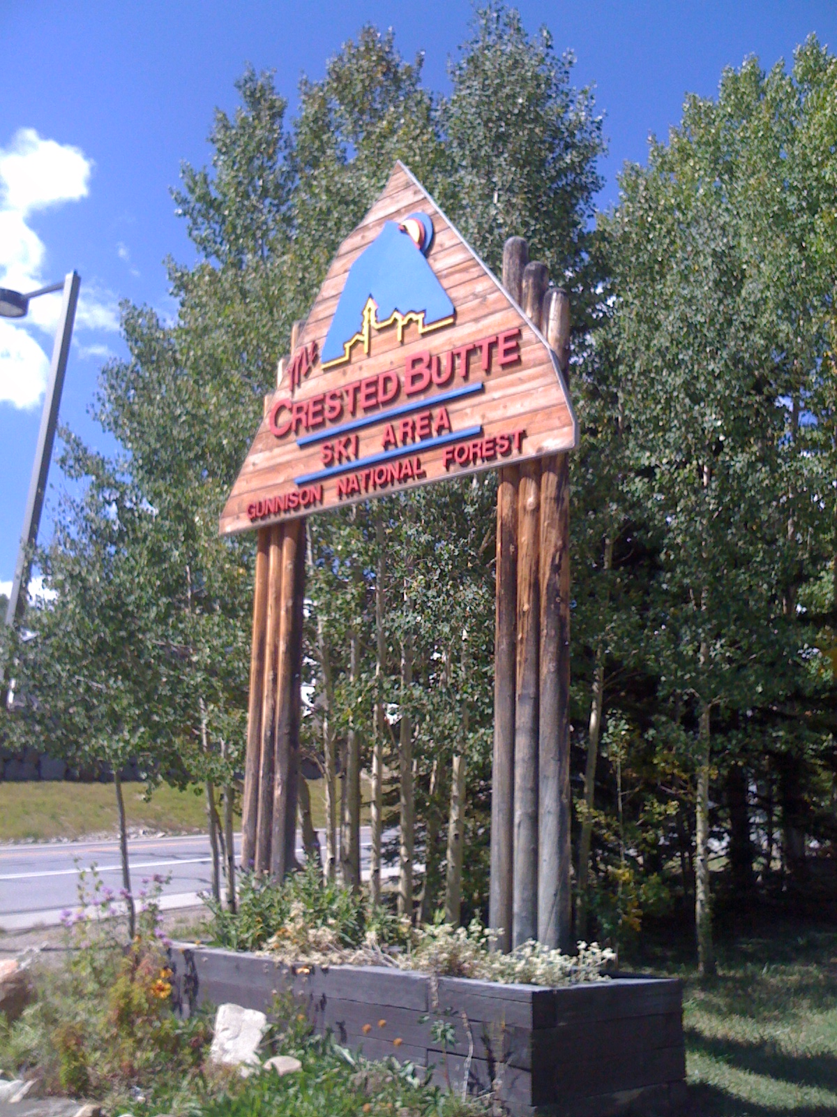 Photo: Draconrex, CC BY-SA 3.0 (via Wikimedia Commons)
Crested Butte Mountain Resort
~5 min drive
Crested Butte Mountain Resort in Colorado has 15 lifts and 95 runs with 2,315 ft of vertical drop.
 Photo: Sheila Sund from Salem, United States, CC BY 2.0 (via Wikimedia Commons)
Washington Gulch Road
~7 min drive
Short, beginner-friendly road ski in Colorado's Washington Gulch.
 Photo: cogdogblog, CC BY 2.0 (via Wikimedia Commons)
Cb Nordic Stadium
~1 min drive
0.28-mile trail at Cb Nordic Stadium in Colorado with 47 ft of elevation gain.
Photo: Helimedic39, CC BY-SA 3.0 (via Wikimedia Commons)Skyland Cc
~3 min drive
1.33-mile cross-country ski trail in Colorado with 141 ft of elevation gain.
Photo: Helimedic39, CC BY-SA 3.0 (via Wikimedia Commons)Gulch
~3 min drive
Gulch is a 0.61-mile trail in Colorado with 86 feet of elevation gain.


Map and trail data © OpenStreetMap contributors
