Willow Creek Trail
- 1.4 mi
- distance
- 300 ft
- climb
- Easy
- difficulty
Willow Creek Trail is a short, easy hike of about 1.4 miles in Steamboat Lake State Park in northwest Colorado, within the state park unit managed by State Fish and Wildlife. It rises about 300 feet from its start, so it is a low-effort outing that pairs well with other stops in the area. Summer and early fall are the most comfortable times to go. Typical averages from the nearby Steamboat Springs weather station show July highs around 83°F and September highs around 74°F, with lows in the mid-30s to low 40s. Winters are cold, with January highs near 29°F and lows around 5°F. The trail is close to Willow Creek, a canoeing spot about half a mile away, and Tombstone Nature Trail, another hike under a mile off. Sunrise Vista Campground and Dutch Hill Campground both lie within about 1.6 miles for anyone planning an overnight stay.
Local outfitters
- Deer Haven RV Park46 mi away
Not on Roamze yet. Their page has how to reach them.
- Willow CreekCanoeing0.5 mi
- Tombstone Nature TrailHiking0.8 mi
 Sunrise Vista CampgroundCampingPhoto: Jeffrey Beall, CC BY 4.0 (via Wikimedia Commons)1.3 mi
 Dutch Hill CampgroundCampingPhoto: MichaelKirsh, CC BY-SA 4.0 (via Wikimedia Commons)1.6 mi
- county road 62Mountain biking2.4 mi
- Shield of the TitansRock climbing5.7 mi
- Stump ButtressRock climbing5.7 mi
- King Solomon CreekCanoeing7.6 mi
Source: Roamze catalog (indexable pages within 10 miles, PostGIS distance)
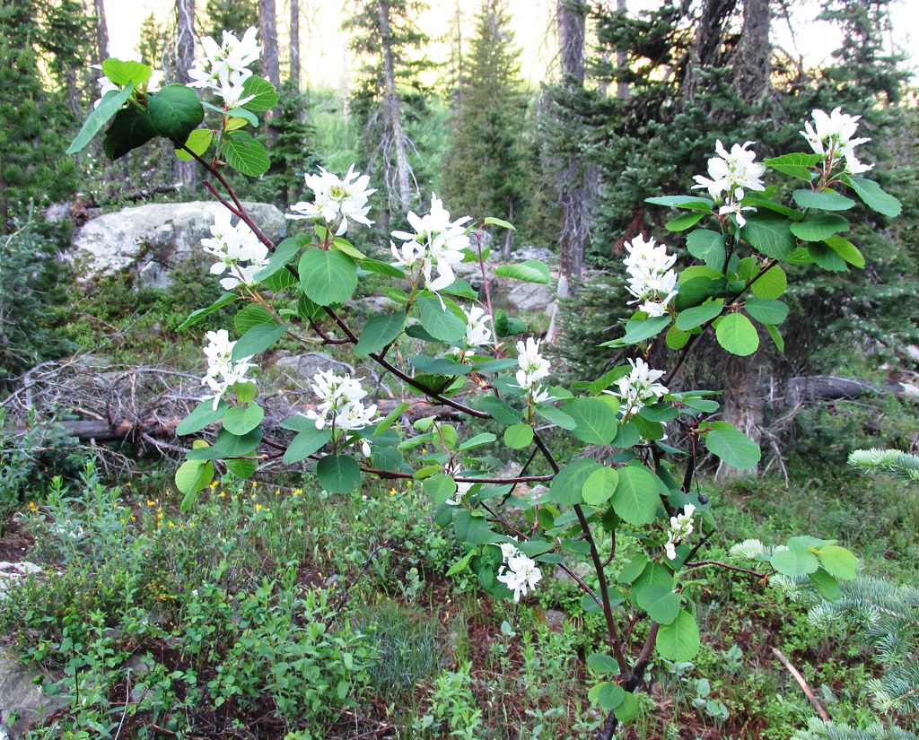 Wyoming TrailHiking · ~22 min drivePhoto: brewbooks, CC BY-SA 2.0 (via Flickr)
- Tombstone Nature TrailHiking · ~1 min drive
- Prospector TrailHiking · ~6 min drive
- Nipple Peak TrailHiking · ~13 min drive
- GilpinHiking · ~22 min drivePhoto: brewbooks, CC BY-SA 2.0 (via Flickr)
- Willow Creek TrailHiking · ~2 min drive
- HAHNS PEAKHiking · ~6 min drive
- OverlookHiking · ~7 min drive
- Willow Creek TrailHiking · ~2 min drive
- Independence Creek TrailHiking · ~9 min drive
Map and trail data © OpenStreetMap contributors
