Nipple Peak Trail
- 11.0 mi
- distance
- 2,100 ft
- climb
- 11,200 ft
- high point
- Expert
- difficulty
Is Nipple Peak Trail open right now?
Closure in the area
There's a closure order in Hahns Peak-Bears Ears Ranger District. It doesn't name Nipple Peak Trail, so check the source for the area it covers.
Area Closure for the Fishhook Fire - Routt National Forest
Agency closure covering Hahns Peak-Bears Ears Ranger District · Order 02-06-03-26-222 · USFS · Hahns Peak-Bears Ears Ranger District
Access Impact: Big Creek Lakes Dam Project
Agency alert covering Medicine Bow-Routt National Forest · USFS · Medicine Bow-Routt National Forest
Trail & Access Impact: Stillwater Reservoir Project
Agency alert covering Medicine Bow-Routt National Forest · USFS · Medicine Bow-Routt National Forest
Snowy Range - 2026 Active Vegetation Operations
Agency alert covering Medicine Bow-Routt National Forest · USFS · Medicine Bow-Routt National Forest
As of · Source: USFS · Hahns Peak-Bears Ears Ranger District. Agencies don't list every closure — check before you go.
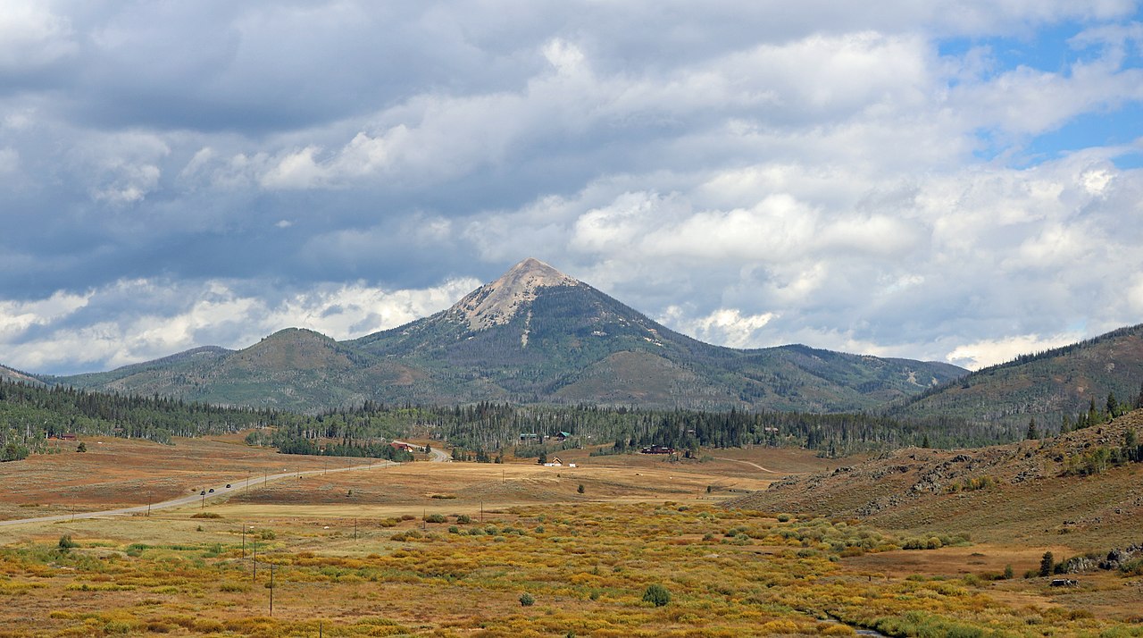
Nipple Peak Trail is an 11-mile hike in the Hahns Peak-Bears Ears Ranger District of the Medicine Bow-Routt National Forest in Colorado, about 6 miles from the town of Columbine. The Forest Service manages the land, and the route is rated expert. The trail gains about 2,100 feet in elevation, with the high point reaching 11,200 feet. The trip takes about 4.5 hours. The climb is a long one, and the route is best suited for experienced hikers. Several other destinations sit close by. Oliver Creek is less than a mile away, and Burton Creek is about 2 miles off. Hahns Peak Lake Campground is roughly 4 miles away, and the South Fork Little Snake River offers canoeing about 5 miles from the trail.
Local outfitters
- Deer Haven RV Park44 mi away
Not on Roamze yet. Their page has how to reach them.
- Oliver CreekHiking0.9 mi
- Burton CreekHiking2 mi
- NIPPLE PEAKHiking2.5 mi
- Hahns Peak Lake CampgroundCamping4.2 mi
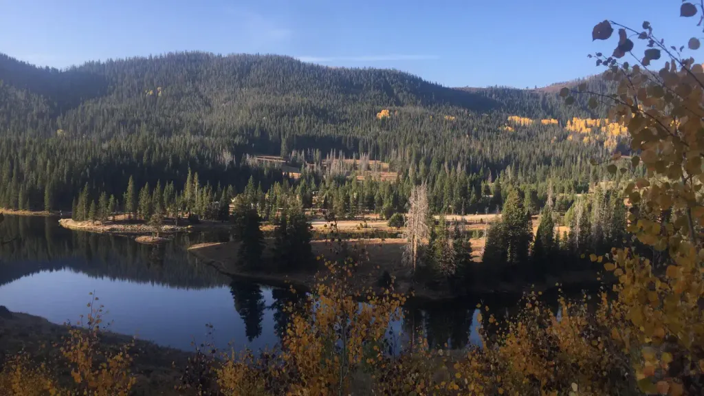 Hahns Peak Lake Campground - Medicine-Bow Routt NF (CO)CampingPhoto: Recreation.gov (RIDB) / public domain4.6 mi
- South Fork Little Snake RiverCanoeing4.8 mi
 Dutch Hill CampgroundCampingPhoto: MichaelKirsh, CC BY-SA 4.0 (via Wikimedia Commons)6.1 mi
- Willow CreekCanoeing8.2 mi
Source: Roamze catalog (indexable pages within 10 miles, PostGIS distance)
- Oliver CreekHiking · ~2 min drive
- ADAMS CREEKHiking · ~6 min drive
- Bears EarsHiking · ~12 min drive
- Whiskey Creek TrailHiking · ~20 min drive
- Burton CreekHiking · ~3 min drive
- Hahns Pk Lake TrailHiking · ~8 min drive
- ElkhornHiking · ~15 min drive
- Prospector TrailHiking · ~9 min drive
- Willow Creek TrailHiking · ~11 min drive
- Farwell Mountain TrailHiking · ~17 min drive
Map and trail data © OpenStreetMap contributors
