Wyoming Trail
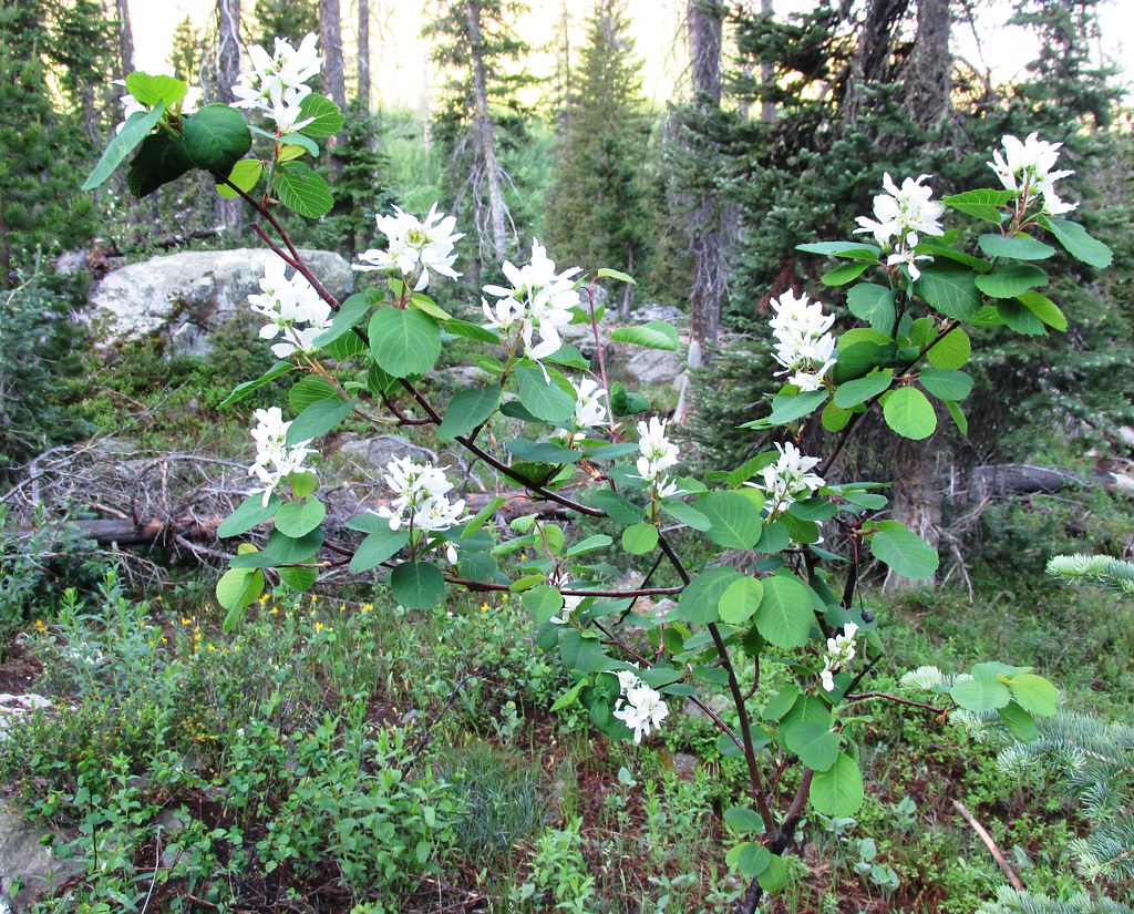 Photo: brewbooks, CC BY-SA 2.0 (via Flickr)
- 17.7 mi
- round trip
- 2,830 ft
- climb
- 11,148 ft
- high point
- Out and back
- route
Is Wyoming Trail open right now?
Closure in the area
There's a closure order in Hahns Peak-Bears Ears Ranger District. It doesn't name Wyoming Trail, so check the source for the area it covers.
Area Closure for the Fishhook Fire - Routt National Forest
Agency closure covering Hahns Peak-Bears Ears Ranger District · Order 02-06-03-26-222 · USFS · Hahns Peak-Bears Ears Ranger District
Access Impact: Big Creek Lakes Dam Project
Agency alert covering Medicine Bow-Routt National Forest · USFS · Medicine Bow-Routt National Forest
Trail & Access Impact: Stillwater Reservoir Project
Agency alert covering Medicine Bow-Routt National Forest · USFS · Medicine Bow-Routt National Forest
Snowy Range - 2026 Active Vegetation Operations
Agency alert covering Medicine Bow-Routt National Forest · USFS · Medicine Bow-Routt National Forest
As of · Source: USFS · Hahns Peak-Bears Ears Ranger District. Agencies don't list every closure — check before you go.
Wyoming Trail is a hard hike of about 17.7 miles on natural surface in the Hahns Peak-Bears Ears Ranger District of the Medicine Bow-Routt National Forest in Colorado. The Forest Service manages the land, and the trail is rated hard. The route is an out-and-back, with a low point of about 8,082 feet and a high of about 11,148 feet, and it gains about 2,830 feet in elevation one way. Horses are allowed on the trail, which makes it an option for riders as well as hikers. The closest neighbors are the Gilpin and Mica Basin hikes, both within about a mile. Seedhouse Campground sits about 3.4 miles away, and the South Fork Elk River offers canoeing about 3.6 miles off.
Local outfitters
- Deer Haven RV Park47 mi away
Not on Roamze yet. Their page has how to reach them.
Keep exploring — more trails worth the drive
Photo: brewbooks, CC BY-SA 2.0 (via Flickr)Gilpin
~1 min drive
12.06-mile out-and-back trail in Colorado's Medicine Bow-Routt National Forest with 2,317 ft gain.
Photo: brewbooks, CC BY-SA 2.0 (via Flickr)Mica Basin
~2 min drive
5.46-mile out-and-back trail in Colorado's Medicine Bow-Routt National Forest with 1,359 ft gain.
 Photo: brewbooks from near Seattle, USA, CC BY-SA 2.0 (via Wikimedia Commons)
Bear Lakes
~7 min drive
2.13-mile out-and-back trail to Bear Lakes in Colorado with 30 ft of elevation gain.
 Photo: brewbooks, CC BY-SA 2.0 (via Flickr)
Three Island Lake
~2 min drive
11.40-mile out-and-back hike to Three Island Lake in Colorado's Medicine Bow-Routt National Forest.
HIKE
Red Dirt Pass
~6 min drive
4.48-mile out-and-back trail in Colorado's Medicine Bow-Routt National Forest with 1,328 ft gain.
HIKE
Bighorn Lake Trail
~6 min drive
1.17-mile out-and-back trail in Colorado with 400 ft gain and 10,200 ft max elevation
 Photo: brewbooks, CC BY-SA 2.0 (via Flickr)
Gold Creek Lake
~3 min drive
14.26-mile out-and-back trail to Gold Creek Lake in Colorado's Medicine Bow-Routt National Forest.
HIKE
Lone Pine
~8 min drive
7.12-mile out-and-back trail in Colorado with 1,617 ft gain and 10,837 ft max elevation.
HIKE
BIGHORN LAKE
~7 min drive
2.24-mile out-and-back trail to Bighorn Lake in Colorado with 823 ft elevation gain.
HIKE
Diamond Park Trail
~6 min drive
7.61-mile out-and-back hike in Colorado's Medicine Bow-Routt National Forest with 485 ft gain.

