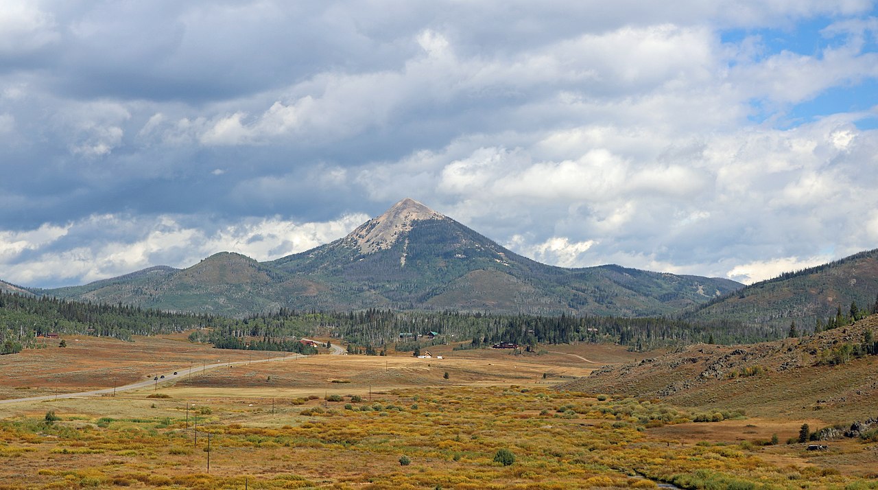
Dutch Hill Campground
 Photo: MichaelKirsh, CC BY-SA 4.0 (via Wikimedia Commons)
- May–Sep
- best months
- At 8,049 ftHigh camp: expect cold nights, even in summer
- Steamboat Lake State Park
Dutch Hill Campground is a state park campground in Steamboat Lake State Park in Colorado, managed by State Fish and Wildlife. It sits within the park's land, and the nearest town is Steamboat Springs, about 23 miles away. Summer is the most comfortable time to visit. Typical averages from a nearby weather station in Steamboat Springs show July highs around 83°F with lows near 46°F, and the station sits about 1,200 feet lower than the campground, so temperatures here run cooler. Sunrise Vista Campground is just half a mile away, and Willow Creek Trail and Tombstone Nature Trail are both within a mile. For paddling, Willow Creek is about 2 miles off.
Local outfitters
- Backdoor Sports23 mi away
- Deer Haven RV Park46 mi away
Not on Roamze yet. Their page has how to reach them.
Best time to go · May–Sep
Best time to visit Dutch Hill Campground
Best months: May–September. Best months have typical highs of 55–85 °F, lows of 30 °F or warmer (32 °F where the station doesn't record snow), at most one snowy day and no more than 12 wet days.
Jan
29° / 5°
14 wet
Feb
34° / 8°
13 wet
Mar
45° / 18°
11 wet
Apr
54° / 27°
12 wet
May
65° / 34°
12 wet
Jun
76° / 39°
9 wet
Jul
83° / 46°
9 wet
Aug
82° / 44°
11 wet
Sep
74° / 36°
10 wet
Oct
59° / 26°
9 wet
Nov
43° / 16°
11 wet
Dec
30° / 6°
14 wet
Typical high / low (°F) and days with rain or snow, 1991–2020. Measured at Steamboat Springs, CO, 23.3 mi away at 6,866 ft. The station sits about 1,200 ft lower than this place, so expect it a little cooler here. This station doesn't record snowfall. Source: NOAA NCEI U.S. Climate Normals 1991–2020.
Keep exploring — more campsites worth the drive
 Photo: Jeffrey Beall, CC BY 4.0 (via Wikimedia Commons)
Sunrise Vista Campground
Next door
Scenic Colorado campground with advance reservations for outdoor recreation.
BED
Seedhouse Campground
~19 min drive
BED
Seedhouse Group Site - Medicine-Bow Routt NF (CO)
~22 min drive
 Photo: Nolabob, CC BY-SA 4.0 (via Wikimedia Commons)
Eagle Soaring RV Park
~37 min drive
RV camping park in Colorado with access to regional outdoor recreation.
BED
Teal Lake Group Campsite
~42 min drive
BED
Hahns Peak Lake Campground - Medicine-Bow Routt NF (CO)
~4 min drive
BED
Big Creek Lakes Campground
~36 min drive
BED
Hahns Peak Lake Campground
~4 min drive
BED
Summit Creek Guard Station
~9 min drive
Summit Creek Guard Station is a campground in Colorado at about 8,143 feet. It is managed by the U.S. Forest Service.
BED
Hinman Park Campground
~14 min drive
Map and trail data © OpenStreetMap contributors
