Hahns Peak
- 1.3 mi
- round trip
- 1,341 ft
- climb
- 10,765 ft
- high point
- Out and back
- route
Is HAHNS PEAK open right now?
Closure in the area
There's a closure order in Hahns Peak-Bears Ears Ranger District. It doesn't name HAHNS PEAK, so check the source for the area it covers.
Area Closure for the Fishhook Fire - Routt National Forest
Agency closure covering Hahns Peak-Bears Ears Ranger District · Order 02-06-03-26-222 · USFS · Hahns Peak-Bears Ears Ranger District
Access Impact: Big Creek Lakes Dam Project
Agency alert covering Medicine Bow-Routt National Forest · USFS · Medicine Bow-Routt National Forest
Trail & Access Impact: Stillwater Reservoir Project
Agency alert covering Medicine Bow-Routt National Forest · USFS · Medicine Bow-Routt National Forest
Snowy Range - 2026 Active Vegetation Operations
Agency alert covering Medicine Bow-Routt National Forest · USFS · Medicine Bow-Routt National Forest
As of · Source: USFS · Hahns Peak-Bears Ears Ranger District. Agencies don't list every closure — check before you go.
Hahns Peak is a moderate out-and-back hike of about 2.6 miles in the Hahns Peak-Bears Ears Ranger District of the Medicine Bow-Routt National Forest in Colorado. The trail climbs roughly 1,300 feet from a low point of about 9,665 feet to a high point of about 10,765 feet, with the steepest stretch around mile 1.1, where the grade reaches about 25%. The Forest Service manages the surrounding land, and the trip is rated moderate. Plan for about 1.5 hours on the trail. The peak sits in a corner of the national forest that also draws hikers to Elkhorn Trail and Independence Creek Trail, both about 1.7 miles away. Hahns Peak Lake Campground, about 2.7 miles off, is the closest place to camp. Climbers can find Shield of the Titans and Stump Buttress about 6.6 miles away.
Local outfitters
- Deer Haven RV Park43 mi away
Not on Roamze yet. Their page has how to reach them.
Conditions and forecast on Hahns Peak
Daily highs and lows, wind and the chance of precipitation at the summit and route start for the next 7 days, from the Open-Meteo model.
- Elkhorn TrailHiking1.7 mi
- Independence Creek TrailHiking1.7 mi
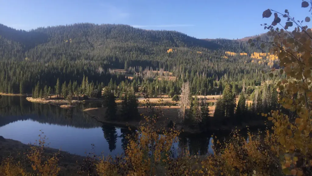 Hahns Peak Lake Campground - Medicine-Bow Routt NF (CO)CampingPhoto: Recreation.gov (RIDB) / public domain2.7 mi
- Hahns Peak Lake CampgroundCamping3 mi
- King Solomon CreekCanoeing4 mi
- Willow CreekCanoeing4 mi
- Shield of the TitansRock climbing6.6 mi
- Stump ButtressRock climbing6.6 mi
Source: Roamze catalog (indexable pages within 10 miles, PostGIS distance)
- Elkhorn TrailHiking · ~3 min drive
- Independence Creek TrailHiking · ~3 min drive
- Farwell Mountain TrailHiking · ~6 min drive
- Nipple Peak TrailHiking · ~12 min drive
- Hahns Pk Lake TrailHiking · ~5 min drive
- Prospector TrailHiking · ~4 min drive
- Manzanares TrailHiking · ~8 min drive
- Whiskey Creek TrailHiking · ~16 min drive
- Willow Creek TrailHiking · ~5 min drive
- Oliver CreekHiking · ~12 min drive
Route details
- Distance
- 1.3 mi round trip
- Climbing
- About 1,341 ft
- Summit
- 10,845 ft
- Difficulty
- Moderate
- Time
- About 1 hour
Questions about this route
How long is the HAHNS PEAK on Hahns Peak?
About 1.3 mi round trip.
How much elevation gain is on the HAHNS PEAK?
About 1,341 ft of climbing round trip.
How hard is the HAHNS PEAK?
It is rated moderate.
How long does the HAHNS PEAK take?
About 1 hour round trip.
