

Backdoor Sports
Kayaking business nearby (~22 mi away) — hasn't claimed their Roamze page yet
Free — you'll pick up right here.
Watch this water
Sign up to watch it — saving subscribes you to gate, closure and report changes.
Colorado
No agency boundary, access route or field report is mapped to it — so there is no verdict, and we won't guess. We'll tell you the moment this water has something to say.
Covered nearby
Waters within 25 miles where we do have a current picture.
Nobody's filed a report here yet — be the first.
Why you'll love it
Long-term averages modeled by USGS (NHDPlus HR), not today's conditions. Check a gauge before you go.
Willow Creek
AI-suggested draft · review before you go
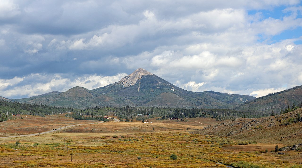
Willow Creek is a 14-mile paddling stretch near Clark, Colorado. It flows year-round. USGS models an average flow of about 100 cfs and a gradient of about 88.5 feet per mile. Land along it is managed by the state fish and wildlife agency.
 Photo: Jeffrey Beall, CC BY 4.0 (via Wikimedia Commons)
South Fork Elk River
~18 min drive
South Fork Elk River is a 13-mile paddling stretch near Clark, Colorado. It flows year-round. USGS models an average flow of about 77 cfs and a gradient of about 185.5 feet per mile. Land along it is managed by the U.S. Forest Service.
Lake View Picnic Site Boating Site
~28 min drive
A worthwhile stop near Wyoming.
Seedhouse Campground
~16 min drive
A worthwhile stop near Colorado.
King Solomon Creek
~14 min drive
King Solomon Creek is a 14-mile paddling stretch near Clark, Colorado. It flows year-round. USGS models an average flow of about 65 cfs and a gradient of about 156.8 feet per mile. Land along it is managed by the U.S. Forest Service.
North Fork Elk Creek
~17 min drive
North Fork Elk Creek is a 11-mile paddling stretch near Clark, Colorado. It flows year-round. USGS models an average flow of about 95 cfs and a gradient of about 98.6 feet per mile. Land along it is managed by the U.S. Forest Service.
Middle Fork Little Snake River
~18 min drive
Middle Fork Little Snake River is a 16-mile paddling stretch near Clark, Colorado. It flows year-round. USGS models an average flow of about 200 cfs and a gradient of about 116.2 feet per mile. Land along it is managed by the U.S. Forest Service.
Big Creek
~19 min drive
Big Creek is a 20-mile paddling stretch near Clark, Colorado. It flows year-round. USGS models an average flow of about 78 cfs and a gradient of about 197.9 feet per mile. Land along it is managed by the U.S. Forest Service.
Deep Creek
~20 min drive
Deep Creek is a 9-mile paddling stretch near Steamboat Springs, Colorado. It flows year-round. USGS models an average flow of about 46 cfs and a gradient of about 24.8 feet per mile.
South Fork Little Snake River
~20 min drive
South Fork Little Snake River is a 16-mile paddling stretch near Clark, Colorado. It flows year-round. USGS models an average flow of about 45 cfs and a gradient of about 86.7 feet per mile. Land along it is managed by the Bureau of Land Management.
West Fork Encampment River
~23 min drive
West Fork Encampment River is a 9.2-mile paddling stretch near Cowdrey, Colorado. It flows year-round. USGS models an average flow of about 35 cfs and a gradient of about 146.2 feet per mile. Land along it is managed by the U.S. Forest Service.
Also worth it near here
Local operators near Clarkoffering guided trips. You book directly with them — Roamze doesn’t take a cut.
Backdoor Sports
Kayaking business nearby (~22 mi away) — hasn't claimed their Roamze page yet
