Priest Lake Camping Area
Campground
Campground · < 0.1 mi from the trail
Closure in the area
There's a closure order in Grand Mesa, Uncompahgre and Gunnison National Forests. It doesn't name P LAKE SKI SOUTH DRAIN, so check the source for the area it covers (2 listed).
Gold Mountain Wildfire Roads and Trails Closure Order v 4.0
Agency closure covering Grand Mesa, Uncompahgre and Gunnison National Forests · USFS · Grand Mesa, Uncompahgre and Gunnison National Forests
Ophir Pass Road Closure
Agency closure covering Grand Mesa, Uncompahgre and Gunnison National Forests · USFS · Grand Mesa, Uncompahgre and Gunnison National Forests
Potter Basin Road Closure Order
Agency alert covering Grand Mesa, Uncompahgre and Gunnison National Forests · USFS · Grand Mesa, Uncompahgre and Gunnison National Forests
Beaver Park Road Closure Order
Agency alert covering Grand Mesa, Uncompahgre and Gunnison National Forests · USFS · Grand Mesa, Uncompahgre and Gunnison National Forests
TERMINATION OF ORDER - FIRE RESTRICTIONS
Agency alert covering Grand Mesa, Uncompahgre and Gunnison National Forests · USFS · Grand Mesa, Uncompahgre and Gunnison National Forests
As of · Source: USFS · Grand Mesa, Uncompahgre and Gunnison National Forests. Agencies don't list every closure — check before you go.
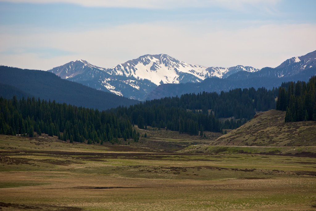
P Lake Ski South Drain is a short, easy out-and-back hike in the Norwood Ranger District of the Grand Mesa, Uncompahgre and Gunnison National Forests in Colorado, managed by the Forest Service. The route is about a mile long, with a total elevation gain of 179 feet, and it starts at the high point of 9,646 feet, so the climb is back-loaded and the steepest stretch comes early, at about 8% grade. Summer is the most comfortable time to go. Typical averages from a nearby weather station in Silverton show July highs around 75°F with lows near 38°F, while winter highs stay in the mid-30s and lows drop to about -6°F in January. The trail sits right beside Priest Lake Camping Area, and the P Lake Ski Outer Lake Loop and the P Lake Ski Inner Lake Loop2 mountain biking route are also about a tenth of a mile away. For paddling, Lake Fork is roughly 0.8 miles off.
Priest Lake Camping Area
Campground
Little Hawaii Grotto
Attraction
Places © OpenStreetMap contributors, Places © Overture Maps Foundation
More in TellurideNot on Roamze yet. Their page has how to reach them.
Source: Roamze catalog (indexable pages within 10 miles, PostGIS distance)
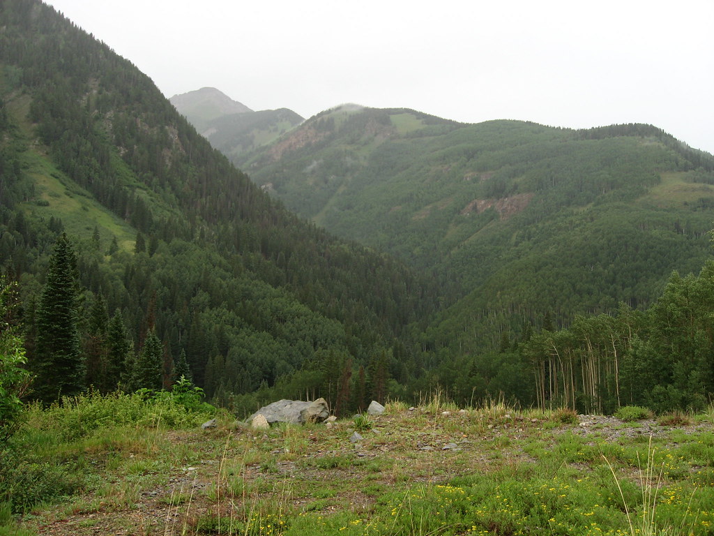 P LAKE SKI MID MEADOW LOOP 2Hiking · Next doorPhoto: Ken Lund, CC BY-SA 2.0 (via Flickr)
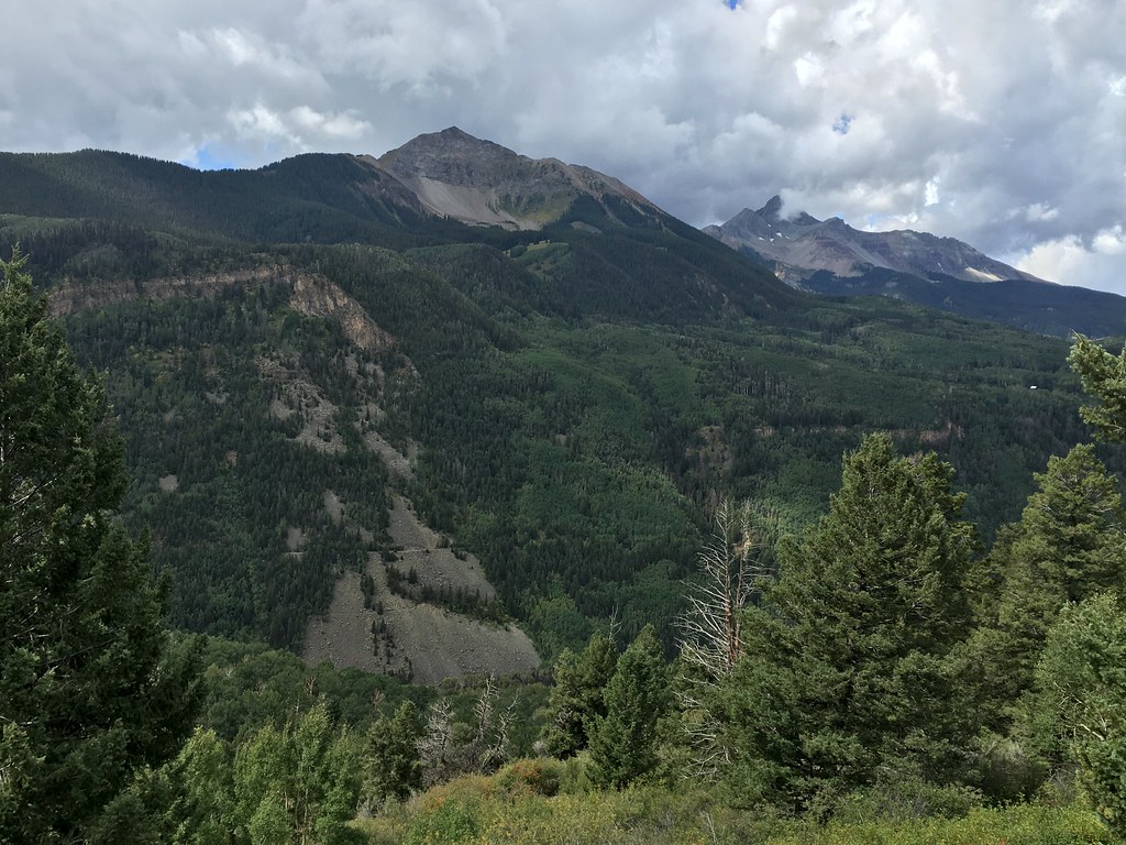 Magic MeadowsHiking · ~6 min drivePhoto: cogdogblog, CC BY 2.0 (via Flickr)
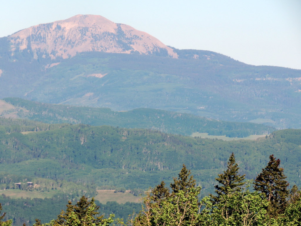 SunshineHiking · ~6 min drivePhoto: dougandme, CC BY 2.0 (via Flickr)
 Vermilion PeakHiking · ~9 min drivePhoto: Dave Lyskawa (talk · contribs), Public domain (via Wikimedia Commons)
 Sheep MountainHiking · ~4 min drivePhoto: sf-dvs, CC BY 2.0 (via Wikimedia Commons)
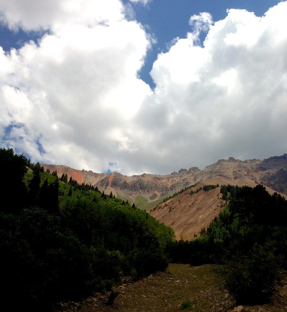 Swamp CanyonHiking · ~7 min drivePhoto: sdingle, CC BY-SA 2.0 (via Flickr)
 Swamp CanyonHiking · ~8 min drivePhoto: John Fowler from Placitas, NM, USA, CC BY 2.0 (via Wikimedia Commons)Wasatch MountainHiking · ~7 min drivePhoto: sdingle, CC BY-SA 2.0 (via Flickr)Magic Meadows LoopHiking · ~6 min drivePhoto: dougandme, CC BY 2.0 (via Flickr)
 East Fork TrailHiking · ~7 min drivePhoto: cmirkin, CC BY-SA 2.0 (via Flickr)
Also worth it near here
 Matterhorn Campground RoadCross-country skiing · ~1 min drivePhoto: Doncram, CC BY-SA 4.0 (via Wikimedia Commons)
 Ophir WallRock climbing · ~3 min drivePhoto: Ken Lund, CC BY-SA 2.0 (via Flickr)
 Pilot KnobSummit · ~5 min drivePhoto: OakleyOriginals, CC BY 2.0 (via Wikimedia Commons)
No month here meets our mild-weather rule. Best months have typical highs of 55–85 °F, lows of 30 °F or warmer (32 °F where the station doesn't record snow), at most one snowy day and no more than 12 wet days.
Jan
34° / -6°
9 wet
Feb
36° / -3°
9 wet
Mar
43° / 6°
10 wet
Apr
48° / 17°
9 wet
May
58° / 25°
9 wet
Jun
70° / 31°
7 wet
Jul
75° / 38°
13 wet
Aug
72° / 37°
15 wet
Sep
66° / 30°
12 wet
Oct
55° / 20°
9 wet
Nov
43° / 7°
8 wet
Dec
34° / -5°
9 wet
Typical high / low (°F) and days with rain or snow, 1991–2020. Measured at Silverton, CO, 12 mi away at 9,285 ft. This station doesn't record snowfall. Source: NOAA NCEI U.S. Climate Normals 1991–2020.
