Sunshine Campground
Campground
Campground · 0.4 mi from the trail
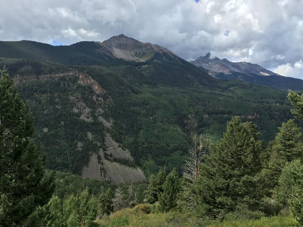 Photo: cogdogblog, CC BY 2.0 (via Flickr)
Closure in the area
There's a closure order in Grand Mesa, Uncompahgre and Gunnison National Forests. It doesn't name Magic Meadows, so check the source for the area it covers (2 listed).
Gold Mountain Wildfire Roads and Trails Closure Order v 4.0
Agency closure covering Grand Mesa, Uncompahgre and Gunnison National Forests · USFS · Grand Mesa, Uncompahgre and Gunnison National Forests
Ophir Pass Road Closure
Agency closure covering Grand Mesa, Uncompahgre and Gunnison National Forests · USFS · Grand Mesa, Uncompahgre and Gunnison National Forests
Potter Basin and Beaver Park Roads Emergency Closures
Agency alert covering Grand Mesa, Uncompahgre and Gunnison National Forests · USFS · Grand Mesa, Uncompahgre and Gunnison National Forests
TERMINATION OF ORDER - FIRE RESTRICTIONS
Agency alert covering Grand Mesa, Uncompahgre and Gunnison National Forests · USFS · Grand Mesa, Uncompahgre and Gunnison National Forests
Dallas Area Closure order
Agency alert covering Grand Mesa, Uncompahgre and Gunnison National Forests · USFS · Grand Mesa, Uncompahgre and Gunnison National Forests
As of · Source: USFS · Grand Mesa, Uncompahgre and Gunnison National Forests. Agencies don't list every closure — check before you go.
Magic Meadows is a hard hike in Colorado's Grand Mesa, Uncompahgre and Gunnison National Forests, within the Norwood Ranger District. The trail is an out-and-back of about 14.8 miles, with a one-way elevation gain of 1,113 feet, starting at a low point of 9,622 feet and reaching a high of 10,765 feet. The Forest Service manages the land, and the trailhead is at Magic Meadows Trailhead, with parking labeled MAGIC MEADOWS. The route is rated hard, and it is open year-round. Bikes and horses are both allowed, and the trail surface is natural. Summer is the most comfortable time to go. Typical averages from a nearby weather station in Silverton, which sits about 1,500 feet lower, show July highs around 75°F with lows near 38°F, while winter highs stay in the mid-30s. Sunshine is a hike about 0.3 miles away, and Sunshine Campground is about 0.4 miles off. The South Fork San Miguel River, a paddling route, is about a mile away, and the Slabs climbing area is about 1.9 miles away.
Sunshine Campground
Campground
Siam
Restaurant
Little Hawaii Grotto
Attraction
Places © OpenStreetMap contributors
More in TellurideNot on Roamze yet. Their page has how to reach them.
No month here meets our mild-weather rule. Best months have typical highs of 55–85 °F, lows of 30 °F or warmer (32 °F where the station doesn't record snow), at most one snowy day and no more than 12 wet days.
Jan
34° / -6°
9 wet
Feb
36° / -3°
9 wet
Mar
43° / 6°
10 wet
Apr
48° / 17°
9 wet
May
58° / 25°
9 wet
Jun
70° / 31°
7 wet
Jul
75° / 38°
13 wet
Aug
72° / 37°
15 wet
Sep
66° / 30°
12 wet
Oct
55° / 20°
9 wet
Nov
43° / 7°
8 wet
Dec
34° / -5°
9 wet
Typical high / low (°F) and days with rain or snow, 1991–2020. Measured at Silverton, CO, 13.3 mi away at 9,285 ft. The station sits about 1,500 ft lower than this place, so expect it a little cooler here. This station doesn't record snowfall. Source: NOAA NCEI U.S. Climate Normals 1991–2020.
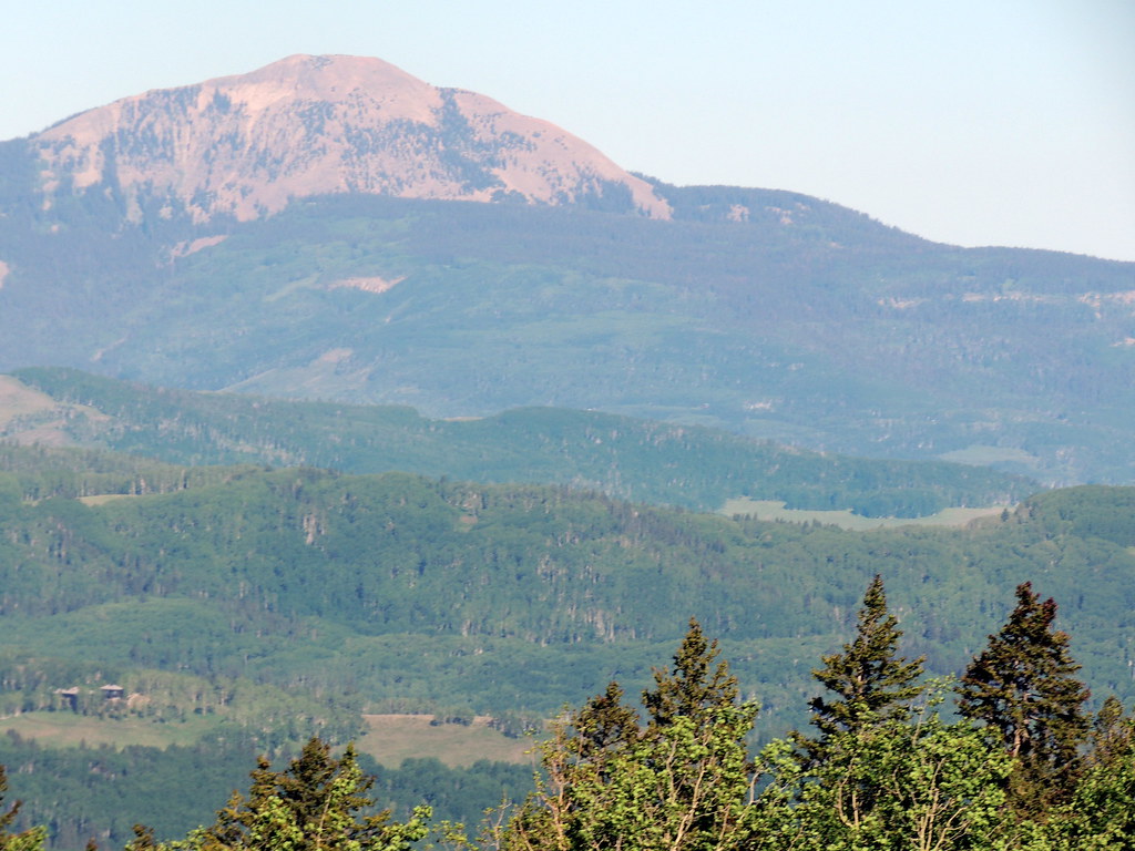 Photo: dougandme, CC BY 2.0 (via Flickr)
Magic Meadows Loop
~2 min drive
0.86-mile out-and-back trail in Colorado with 92 ft of elevation gain.
 Photo: sf-dvs, CC BY 2.0 (via Wikimedia Commons)
Ridge Trail
~8 min drive
4.1-mile out-and-back ridge trail in Colorado with 1,588 ft gain/loss
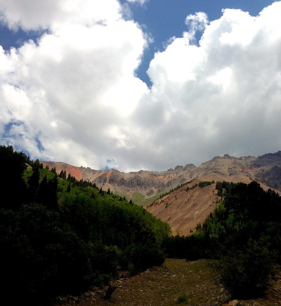 Photo: sdingle, CC BY-SA 2.0 (via Flickr)
Swamp Canyon
~8 min drive
6.63-mile out-and-back trail in Colorado with 2,758 ft elevation gain.
Photo: sdingle, CC BY-SA 2.0 (via Flickr)Wasatch Mountain
~8 min drive
Route to the summit of Wasatch Mountain (13,540 ft) from Bridal Veil Basin Trailhead.
 Photo: Moo.The.Cow, CC BY 2.0 (via Flickr)
Skunk Creek
~4 min drive
1.48-mile out-and-back trail in Colorado with 513 ft gain and 10,317 ft max elevation.
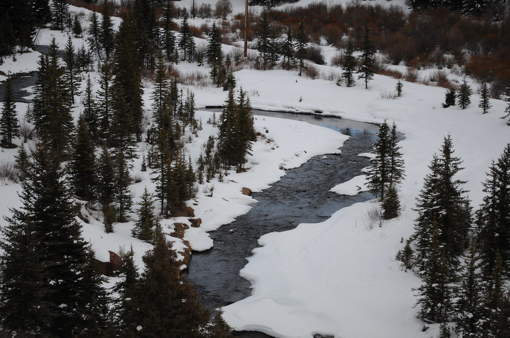 Photo: Chiara Coetzee, Public Domain Dedication (CC0) (via Flickr)
Aldasoro Trail
~8 min drive
1.72-mile out-and-back trail in Colorado with 792 ft elevation gain
 Photo: Sale Family Memories, CC BY 2.0 (via Flickr)
Rudy's Trail
~9 min drive
4.08-mile out-and-back hike in Colorado with 2,892 ft elevation gain and loss.
HIKE
Wasatch Descent
~7 min drive
11 mi · Expert
Photo: Moo.The.Cow, CC BY 2.0 (via Flickr)Prospect Loop
~5 min drive
1.7-mile out-and-back trail in Colorado with 421 ft elevation gain and loss.
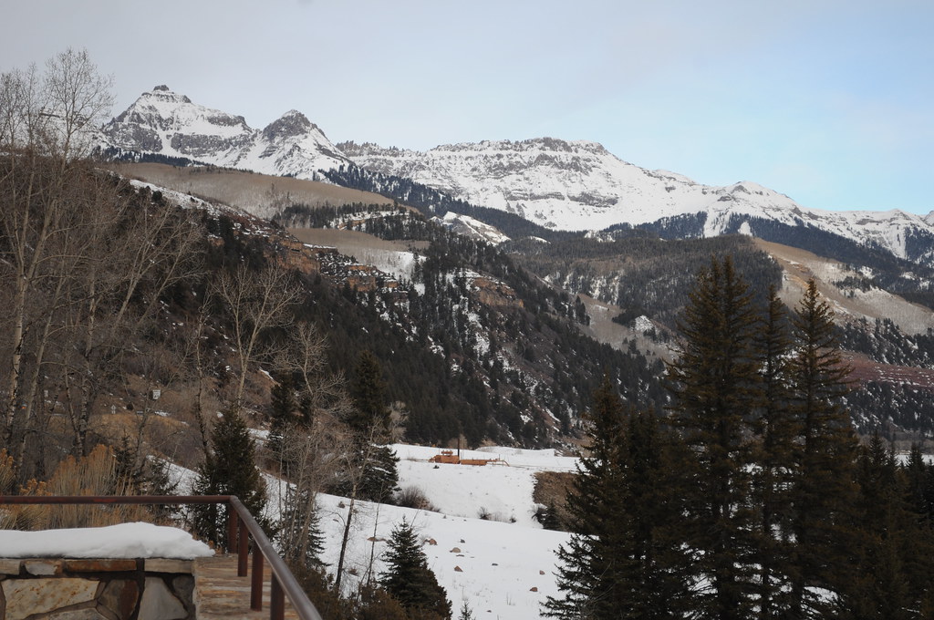 Photo: Chiara Coetzee, Public Domain Dedication (CC0) (via Flickr)
Penelope's Trail
~8 min drive
4.06-mile out-and-back hike in Colorado with 1,148 ft gain and 9,563 ft max elevation.
Also worth it near here


