Cayton Campground
Campground
Campground · 2.6 mi from the trail
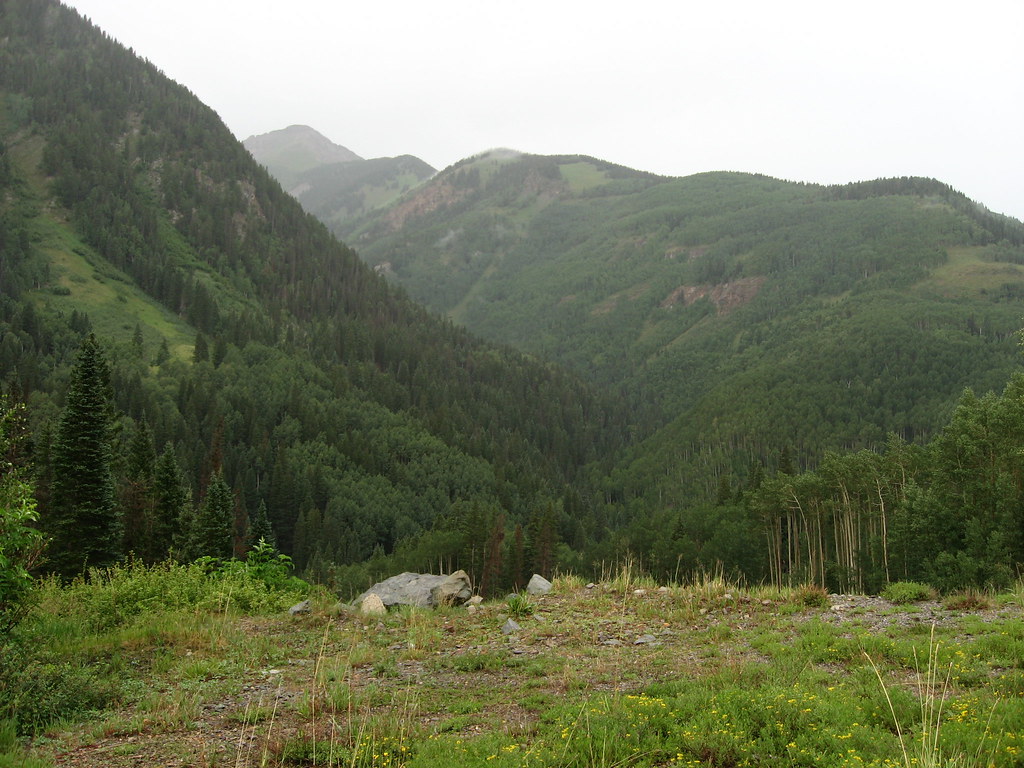
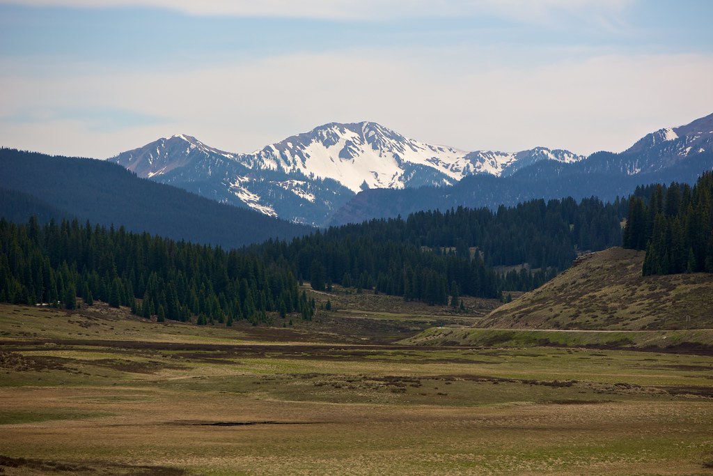 Photo: cmirkin, CC BY-SA 2.0 (via Flickr)
Caution at last check
Agency alerts are in effect for this area; weather is marginal · USFS, OpenWeather · checked 12 h ago
Closure in the area
There's a closure order in San Juan National Forest. It doesn't name East Fork Trail, so check the source for the area it covers (3 listed).
Travel is not advised to the San Juan NF
Agency closure covering San Juan National Forest · USFS · San Juan National Forest
Closures and dangerous conditions on roads, bridges, and trails from flooding
Agency closure covering San Juan National Forest · USFS · San Juan National Forest
Multiple roads and trails damaged by flooding on SJNF
Agency closure covering San Juan National Forest · USFS · San Juan National Forest
Bear Activity High Across San Juan National Forest
Agency alert covering San Juan National Forest · USFS · San Juan National Forest
As of · Source: USFS · San Juan National Forest. Agencies don't list every closure — check before you go.
East Fork Trail is a hard hike in the Mancos/Dolores Ranger District of Colorado's San Juan National Forest, managed by the Forest Service. The trail is an out-and-back route of about 11.6 miles, with a one-way climb of roughly 2,286 feet. The total gain and loss over the round trip add up to about 3,523 feet, and the steepest stretch comes at about 1.6 miles in, where the grade reaches 25%. The trail starts at an elevation of about 10,134 feet and reaches a high point of about 11,183 feet. The climb is steady, so plan for a long day with a significant amount of elevation change. Nearby, Cross Mountain is about 1.8 miles away, and the Trestle cross-country ski area is about 2.1 miles off. Cayton Campground sits about 2.6 miles away, and Lake Fork, a canoeing spot, is about 4.2 miles away.
Cayton Campground
Campground
Little Hawaii Grotto
Attraction
Places © OpenStreetMap contributors, Places © Overture Maps Foundation
More in TellurideNot on Roamze yet. Their page has how to reach them.
 TrestleCross-country skiingPhoto: Dean Silver, CC BY-SA 3.0 (via Wikimedia Commons)2.1 mi
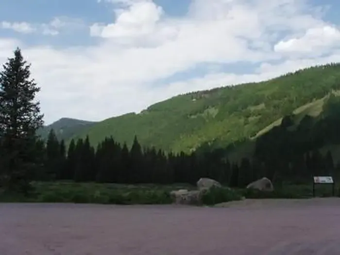 Cayton CampgroundCampingPhoto: Recreation.gov (RIDB) / public domain2.6 mi
Source: Roamze catalog (indexable pages within 10 miles, PostGIS distance)
 Sheep MountainHiking · ~4 min drivePhoto: sf-dvs, CC BY 2.0 (via Wikimedia Commons)
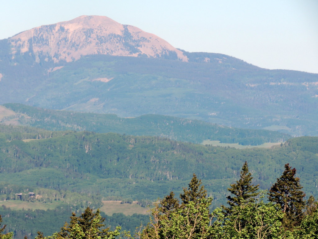 SunshineHiking · ~12 min drivePhoto: dougandme, CC BY 2.0 (via Flickr)
 Vermilion PeakHiking · ~13 min drivePhoto: Dave Lyskawa (talk · contribs), Public domain (via Wikimedia Commons)
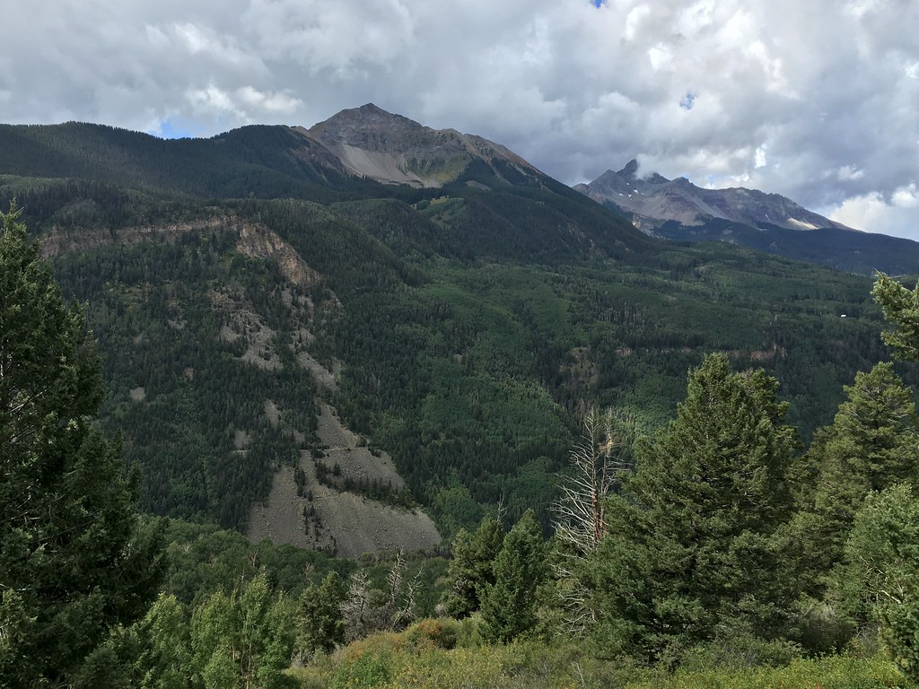 Magic MeadowsHiking · ~12 min drivePhoto: cogdogblog, CC BY 2.0 (via Flickr)
 P LAKE SKI MID MEADOW LOOP 2Hiking · ~8 min drivePhoto: Ken Lund, CC BY-SA 2.0 (via Flickr)San Miguel PeakHiking · ~13 min drivePhoto: Dave Lyskawa (talk · contribs), Public domain (via Wikimedia Commons)
 Beattie PeakHiking · ~13 min drivePhoto: Daniel Weber, Public Domain Dedication (CC0) (via Flickr)
 McjunkinHiking · ~10 min drivePhoto: Sale Family Memories, CC BY 2.0 (via Flickr)
Map and trail data © OpenStreetMap contributors
